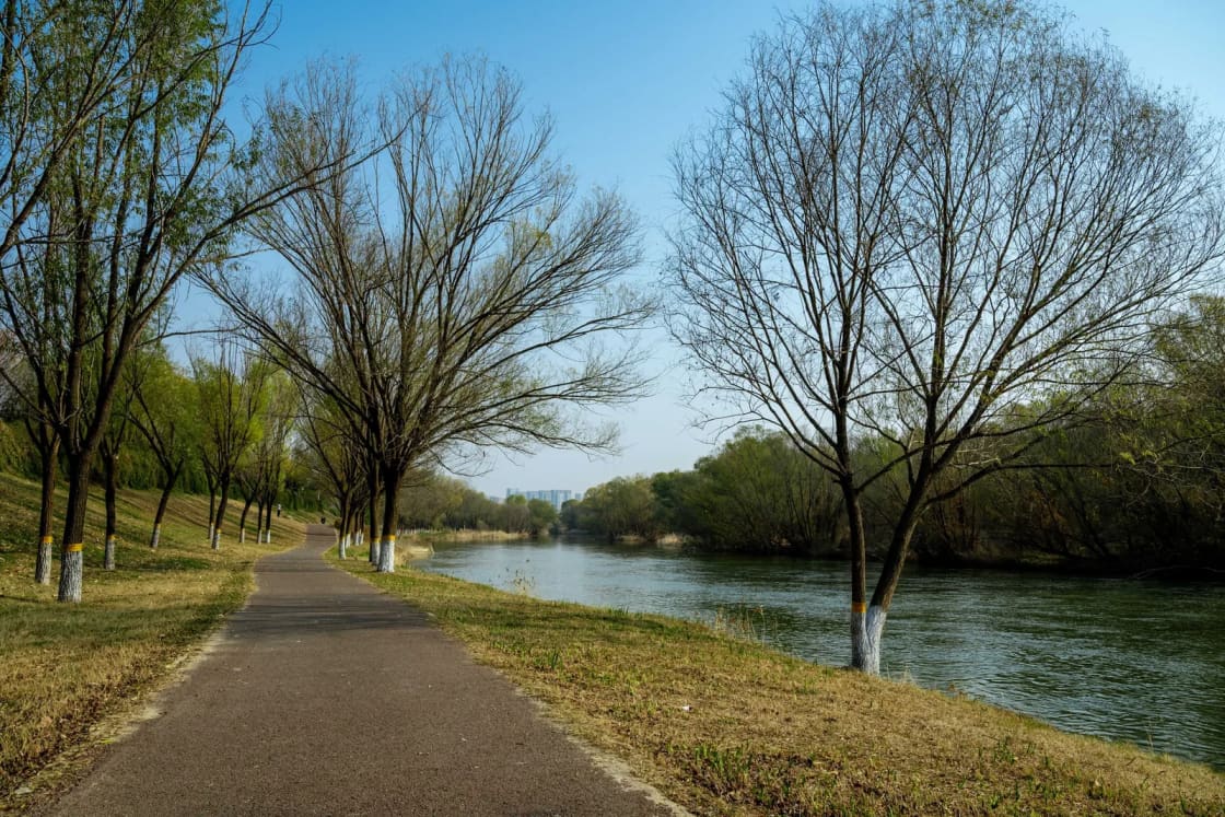
Provo has started work on the last piece of a long-planned rebuild of the Provo River Trail: a 0.8-mile stretch between Columbia Lane and University Parkway that will grow from a 6-foot path to a 14-foot one. KSL reported the start of the work on Nov. 6, 2026. Construction is expected to run through summer 2027, with Columbia Lane closures projected through May and trail closures through July.
| What | Widening and rebuild of the final 0.8-mile segment of the Provo River Trail |
| Where | Between Columbia Lane and University Parkway, Provo |
| Width | From 6 feet to 14 feet |
| When | Under way now; through summer 2027 |
| Closures | Columbia Lane projected through May; trail projected through July |
| Cost | About $5 million |
| Funding | $4.6 million Mountainland Association of Governments grant; $400,000 from Provo |
What is being built
According to KSL's report by Arianne Brown, crews began work on the final 0.8-mile segment between Columbia Lane and University Parkway. The goal is to widen the trail from 6 feet to 14 feet, and to improve sightlines, head clearance and grades while removing sharp turns. The project is also meant to meet Americans with Disabilities Act requirements.
The rebuild also includes a new pedestrian bridge, planned east of State Street and north of the Macey's parking lot, KSL reported.
An earlier listing of the project on a construction-industry database, last updated in November 2024 when the work was still at the conceptual stage, describes a broader package: replacing asphalt more than 25 years old, improving access points, adding lighting, and expanding two narrow tunnels under key intersections. KSL's account does not mention lighting or the tunnels, and the construction schedule on that older listing was blank, so treat those items as planned scope to confirm with the city rather than as finished design.
Why this stretch
John Bunderson, a parks planning and project manager for Provo, told KSL that the Provo River Trail is considered a regional trail. He said it was conceptualized in the late 1970s and that the 6-foot-wide segment was built in the early 1980s.
That is a narrow path by current standards, and it carries walkers, runners, cyclists and, increasingly, scooters in the same lane. Mary Ann Nielsen, a longtime Utah County resident, told KSL that sharp, blind turns and narrow sections have been unsafe for children and that her child was hit by an electric scooter on the section being redone. John Hedengren, a local youth running coach, praised the upgraded sections and thanked local officials for prioritizing the project.
The width is the headline, but the other fixes matter as much. Blind corners, low overhead clearance and steeper grades are what make a trail hard to share, and they are also what keep it from meeting accessibility standards. A wider path gives users more room to pass each other.
Timeline, closures and detours
KSL reports that construction continues through summer 2027. Two sets of closures are projected:
- Columbia Lane: closures projected through May.
- Provo River Trail: closures projected through July.
Water and sewer line work is happening alongside the trail project, KSL reported, to limit extended road closures. In other words, the city is digging once for the pipes and the path rather than closing the same area twice.
KSL did not publish specific detour routes. It directed readers to the city's website for traffic and closure updates, and we could not open the city's project pages to confirm a detour map today. Until you have seen the posted route, do not assume a path through the work zone is open. Fencing and signs control, not a map app.
These are projections reported by KSL, and construction schedules shift with weather and utility conditions.
Who is paying
KSL reports the project at $5 million. It is funded mainly by a $4.6 million active transportation grant from the Mountainland Association of Governments, the regional planning body for Utah County, with Provo contributing $400,000. A small part of the funds went to buying land from local business owners, KSL reported.
The earlier project listing also says Provo Parks and Recreation secured the Mountainland grant, which it says saves city taxpayers more than $4 million that had originally been programmed from the city's RAP tax. We read that on the listing, not from the city directly, so it is a second-hand account of the funding history. The project was included in Provo's 2025 to 2029 capital improvement program, according to the same listing.
What trail users should do
The practical advice is short. The KSL story does not give detailed safety guidance beyond checking the city's website, so this is our reading of what follows from the schedule.
- Check the city before you go. Provo's website is the official source for closures and detours. Look at it before a commute, not after you reach a fence.
- Plan an alternate route for the Columbia Lane to University Parkway section. If you ride or run through downtown Provo on the trail, expect to leave it for local streets for at least part of the winter and spring, and possibly into July.
- Slow down near the work zone. Expect construction activity around the trail ends and near State Street.
- Do not enter fenced areas to shortcut a detour. Open trail on either side of the work zone is separate from the closed stretch.
- Treat the dates as estimates. May for Columbia Lane and July for the trail are projections.
Not the same as the other Provo River Trail work
The Provo River Trail runs from Utah Lake to Provo Canyon, and several different owners are working on it at once. This project is the city's, and it is separate from:
- The Bridal Veil Falls rockslide closure. Utah County closed the trail and park near the falls after an Oct. 23 rockslide, and says the area stays closed through the winter. See our rockslide report.
- The Provo River Delta work near Utah Lake. Utah County has been repaving the Old Provo Channel trail, which the project listed as closed until Oct. 31. Our delta update has the details and the caveat that we have not seen a notice that the work is finished.
- The 820 North bridge. A separate city project is rebuilding the Provo River bridge at 820 North. The Daily Herald reported in November 2025 that the Provo River Parkway Trail was closed between 800 North and 900 North during that work, with a detour on 700 North and 800 West, and that the road would reopen in summer 2026. We have not confirmed whether the bridge and that trail section have reopened, so check the city's notices.
The central section is the connective tissue between the canyon and the lake, so when it closes, riders feel it on every other segment. Our Provo River Parkway guide covers the whole route, including access points on either side of this work zone. For a longer ride that stays off the closed stretch, the paved trails guide lists other options in the valley, and the running routes guide has loops that do not depend on this section. If you are heading up the canyon instead, the Provo Canyon guide has the current picture.
What we could not confirm
The city's own project pages and documents returned errors when we tried to open them on Nov. 7, so the schedule and funding figures above come from KSL's Nov. 6 report. We could not confirm the contractor, the exact detour routes, the start date of the Columbia Lane closure, or whether lighting is part of the final design. We will update this page when the city publishes a closure map.
Sources: KSL, "Provo River Trail enters final phase of construction, expanding for safety and accessibility," Nov. 6, 2026. Project listing for Provo River Parkway Trail Central (PR6049), ConstructConnect, last updated November 2024. The Daily Herald, "Provo River bridge construction begins, closing 820 North at bridge crossing," Nov. 11, 2025.
Frequently Asked Questions
What is being built on the Provo River Trail?
How long will construction last?
Who is paying for the project?
Where are the detours?
Why is Columbia Lane closing?
Why is the trail being widened?
Is the rest of the Provo River Trail open?
What should trail users do during construction?
Sources
The facts in this guide were checked against these sources. Hours, fees and rules change, so confirm anything time-sensitive with the source before you go. How we make Provo.com.
- Provo River Parkway Trail Central (PR6049), City of Provo project listing, ConstructConnect. Checked November 7, 2026.
- Provo River Trail enters final phase of construction, expanding for safety and accessibility, KSL. Checked November 7, 2026.
- Provo River bridge construction begins, closing 820 North at bridge crossing, The Daily Herald. Checked November 7, 2026.
- Aging Provo bridge reconstruction to begin next month; traffic impacts expected, KSL. Checked November 7, 2026.