
Utah Valley's paved trails are not one system. They were built at different times by different governments for different reasons: a river corridor turned into a parkway, an irrigation canal buried and paved over, a lake outlet made into a regional greenway, a creek in a small city given a path along its bank. But over the last fifteen years those separate projects have grown toward each other until it is now possible to describe them as one network with a few missing links. This is that description.
The organizing idea is simple. There are three long spines and a set of local branches. The Provo River Parkway runs east to west from Provo Canyon to Utah Lake. The Murdock Canal Trail runs south to north along the east bench from the canyon mouth to Lehi. The Jordan River Parkway runs north from the lake's outlet through the west side. Where the three meet, you can ride for a day without leaving pavement.
The Provo River Parkway
The oldest and best-known of the three, the Provo River Parkway follows the river from Utah Lake State Park at the lake's east shore up through Provo, along the mouth of the canyon, and up Provo Canyon to Vivian Park. It is on the order of fifteen miles end to end, and it divides naturally into two trails that happen to share a name.
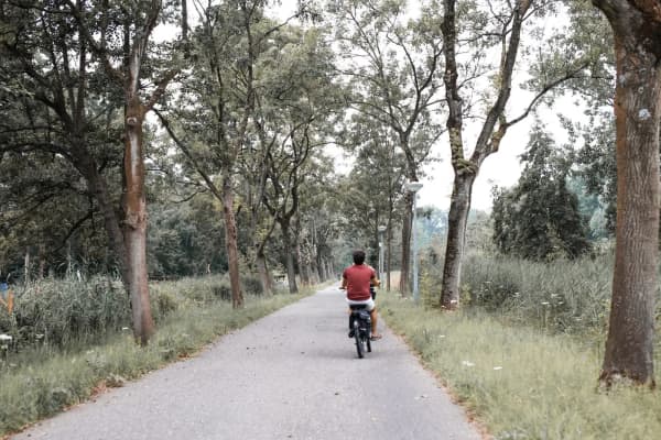
The lower Parkway, from the lake to the canyon mouth, is flat, shaded by cottonwoods and rarely crowded. It passes the marina and lake bottoms, Fort Utah Park on Geneva Road, Paul Ream Wilderness Park, the old diversion structures where Provo's canals leave the river, and finally the Riverwoods commercial area at the canyon mouth. This is the section for strollers, first bike rides and winter walks.
The upper Parkway, from the canyon mouth to Vivian Park, is the famous one: the trail climbs alongside the river and US-189 past Nunn's Park, Bridal Veil Falls and the canyon walls, gaining elevation steadily but never steeply. On a summer Saturday it is one of the busiest recreation corridors in the state, shared by cyclists, runners, families, tube-carrying teenagers walking up to float down, and the occasional horse. It has a posted speed limit for cyclists and it is enforced by common sense; the trail is narrow in places and blind at a few bends.
Trailheads with parking: Utah Lake State Park (entry fee), the canyon mouth lot off 800 North near the Riverwoods, Nunn's Park, Bridal Veil Falls and Vivian Park. Fort Utah Park was on this list until 8 September 2026; its lot is part of the construction zone for the All-Wheels Park rebuild, which the city hopes to finish by summer 2027. Restrooms exist at all of the canyon stops.
The Murdock Canal Trail
For most of the twentieth century the Murdock Canal was an open ditch carrying Provo River water north along the bench through Orem, Lindon, Pleasant Grove, American Fork, Highland, Cedar Hills and Lehi, and every few years someone fell in and drowned. The canal was enclosed as the 21-mile Provo River Aqueduct, completed in 2012, and the counties and cities used the corridor on top to build a paved trail. The Murdock Canal Trail runs 17 miles from 800 North in Orem, at the mouth of Provo Canyon, to Thanksgiving Point in Lehi.
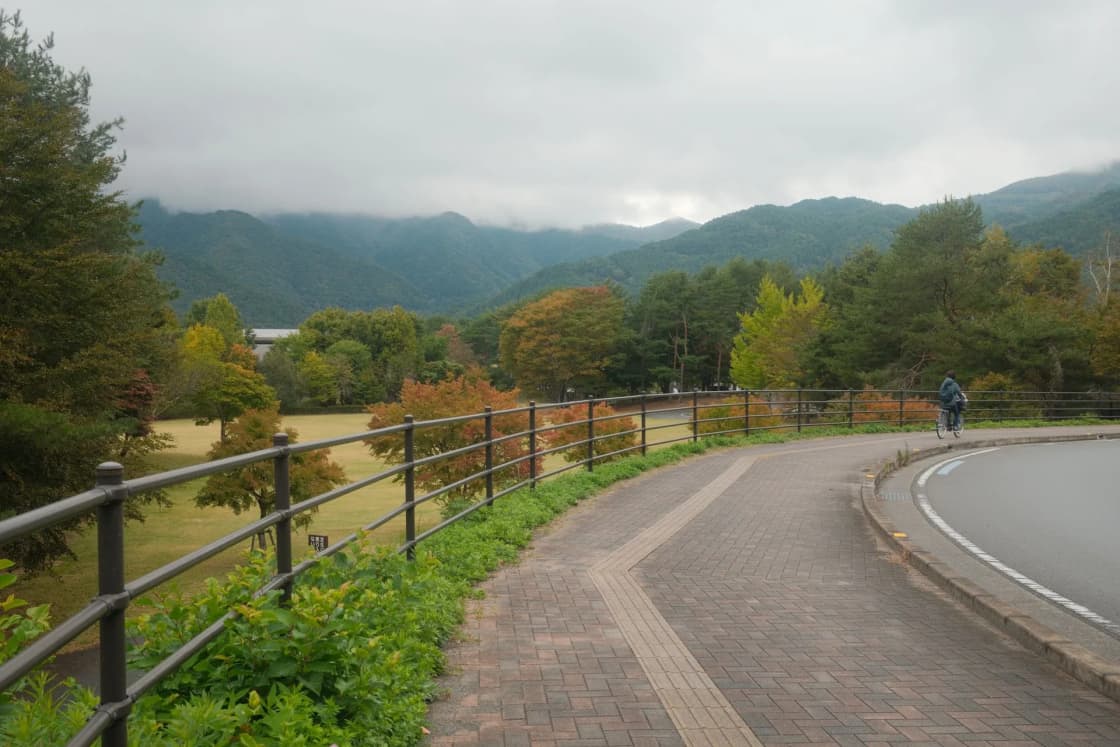
Because it follows a canal's contour, it is nearly flat for its entire length, with a few hundred feet of total elevation change spread over seventeen miles. It is wide, marked at every quarter mile, and has developed trailheads with restrooms and water roughly every three miles. A parallel gravel path serves horses along much of its length. It passes under most cross streets in tunnels, which means very few road crossings.
The scenery is the reason it is more than a commuter path. It sits on the bench well above the valley floor, so Timpanogos fills the view to the east and the lake fills it to the west; the section above Pleasant Grove is the best flat walk with a view in the county. It is maintained year-round and is usually clear of snow within a day or two of a storm, which makes it the valley's default winter trail.
Trailheads, south to north: Orem at 800 North (no parking; use the Provo River Parkway canyon-mouth lot a few blocks east), Lindon, Pleasant Grove (two), American Fork near Art Dye Park, Highland Glen Park, Cedar Hills, and Lehi near Timpanogos Highway. The trail's official north end connects by sidewalk and path through Thanksgiving Point to the Jordan River Parkway near Ashton Gardens.
The Jordan River Parkway
The Jordan River leaves Utah Lake at its northwest corner, in Saratoga Springs, and flows north the length of Salt Lake County to the Great Salt Lake. The Jordan River Parkway trail follows it, beginning at Inlet Park in Saratoga Springs and running through Lehi and Thanksgiving Point before crossing into Salt Lake County near Bluffdale. In total it runs well over forty miles to Davis County, with a handful of gaps and on-street detours in the north.
The Utah County portion is roughly the first ten miles. It is the quietest of the three spines: a low, open riverside corridor past wetlands and new subdivisions, with wide views back toward Timpanogos. It is paved and mostly flat, with a few road crossings in Lehi. Inlet Park, at the lake, has parking, restrooms and boat access. The trail through Thanksgiving Point is well developed; the section between Saratoga Springs and Lehi is more rural and less serviced.
This is the spine that turns the valley's trails into a region's. From the Murdock Trail's north end, a rider joins the Jordan River Parkway and can continue through Draper, Sandy, Midvale and Murray to downtown Salt Lake City, with the Draper-area gaps being the least pleasant part of the trip.
How the three spines connect
At the mouth of Provo Canyon, the Provo River Parkway's canyon-mouth lot on 800 North in Orem is a few blocks from the Murdock Canal Trail's southern end. The connection is a broad sidewalk path along 800 North, signed as the Murdock–Provo River connector. It is short and easy.
At Thanksgiving Point, the Murdock Canal Trail ends near Timpanogos Highway and 1200 West in Lehi. From there, following the path and sidewalk west through the Thanksgiving Point development reaches the Jordan River Parkway near the golf course and Ashton Gardens. It is not a single obvious trail; follow signs and expect to ride on a development's sidewalk for a stretch.
Those two junctions mean a rider can start at Utah Lake State Park in Provo, climb the Provo River Parkway to the canyon mouth, turn north on the Murdock, ride seventeen miles along the bench, join the Jordan River trail at Lehi, and either turn south to finish at the lake's other corner in Saratoga Springs or turn north toward Salt Lake. The full loop around the north end of the lake, Provo to Saratoga Springs, is a long day for a fit rider and a two-day trip for most.
Utah Lake's shoreline trails
The long-term regional plan is a paved trail around the entire lake, roughly a hundred miles, and pieces of it exist. Provo's lower Parkway reaches the lake at the state park. Vineyard has built lakeshore trail through its redeveloped Geneva Steel site, with parks and a beach. Lindon's Marina area connects to short lakeside paths. Saratoga Springs has lakeshore trail near Inlet Park and along its developed frontage. Between these pieces are gaps of private land, wetland and unbuilt right-of-way.
For now, treat the lake trails as destinations rather than a route: Vineyard's shoreline for an evening walk with a view of the water and Timpanogos, Inlet Park for the outlet and the wildlife, the state park for the marina and the lake bottoms. The ring road will come; it is a decade-scale project.
The south county paths
South of Provo the paved system is thinner but growing.
Springville's Hobble Creek path follows the creek through the city with parks along it, and connects toward the mouth of Hobble Creek Canyon on the east and the Spanish Fork River corridor on the south. It is flat, family-scaled and well used by the neighborhoods it passes.
The Spanish Fork River Trail runs along the river through Spanish Fork with connections toward the Sports Park and the new FitCity Center, and the city has been extending it in both directions. It is one of the newer paths in the county and improves every year.
Salem Pond has a paved loop around the pond in the center of town, short and flat, with a fishing dock and swim area; it is the south county's most pleasant short walk.
Payson has paths along its parks and toward the mouth of Payson Canyon, and the Nebo Loop road above town is a favorite of road cyclists, but Payson does not yet have a long continuous paved trail.
The north county branches
The Murdock Trail's power is what plugs into it. From the Highland Glen trailhead, a paved path leads toward the mouth of American Fork Canyon and the Alpine area. In American Fork, the trail to Art Dye Park links the city's sports complex to the spine. Lindon's Heritage Trail runs from the bench down toward the lake. Pleasant Grove's connectors link its parks and the two trailheads. Cedar Hills and Highland have neighborhood paths that feed the trail every few blocks, which is why the Murdock, more than any other trail in the valley, functions as a daily-use corridor for people walking to school, to church and to each other's houses rather than only as a recreation destination.
Lehi's own network runs along Dry Creek and through its newer subdivisions, connecting toward the Jordan River trail on the west and Thanksgiving Point on the north.
What each trail is best for
Road cycling and training rides: the Murdock Canal Trail, for its length, width and lack of crossings; the upper Provo River Parkway, for the climb; the Jordan River Parkway north of Lehi, for distance.
Running: the Murdock, because of the quarter-mile markers and the water stops; the lower Provo River Parkway, for shade.
Strollers and small children: the lower Provo River Parkway, the Murdock from any trailhead, the Hobble Creek path, Salem Pond, and the Jordan River trail through Thanksgiving Point.
Winter walking: the Murdock, which is plowed, and the lower Provo Parkway. Avoid the shaded canyon section, which holds ice.
Views: the Murdock above Pleasant Grove; the Squaw Peak stretch of the canyon Parkway for the walls; Inlet Park for the lake and the mountain together.
Solitude: the Jordan River Parkway between Saratoga Springs and Lehi, and the lower Provo Parkway through the lake bottoms on a weekday evening.
The unpaved twin: the Bonneville Shoreline Trail
Every conversation about the Murdock Trail eventually mentions the Bonneville Shoreline Trail, and the two are worth separating. The Bonneville Shoreline is a dirt trail, or rather a chain of dirt trail segments, that follows the ancient lake terrace along the mountain front above the Murdock, from Provo's east bench north through Orem, Lindon, Pleasant Grove and beyond. It is for hiking and mountain biking, it climbs and drops, and it is not continuous. Where it exists it is usually a few hundred feet above the paved trail, and several of the Murdock's trailheads double as access points for it. The combination gives the bench cities a two-tier system: a flat paved corridor for daily use and a rugged dirt one above it for the weekend. If a map shows a trail along the foothills and you are not sure which it is, the rule is that pavement means Murdock and dirt means Shoreline.
Getting to the trails without a car
The lower Provo River Parkway is reachable from the Provo Central FrontRunner station by a short ride west, and from the UVX bus rapid transit line at several Provo stops. The Orem Central station sits a mile or two from the lower Parkway. The Murdock Trail's southern end is a few blocks from UVX's northern stops near the mouth of the canyon. FrontRunner and UTA buses carry bicycles, which makes a one-way trip practical: ride the Murdock north to Lehi, walk to the Lehi FrontRunner station, and ride the train home to Provo. That one-way pattern, north on the trail and south on the train, is the most pleasant way to see the whole bench in a single afternoon without riding back into the wind.
Rules that matter
All of these are shared-use paths. Keep right, pass left, announce a pass, keep dogs leashed and short, and keep children on the right side. Cyclists should expect posted speed limits in Provo Canyon and on the Murdock and should ride as though a toddler will step in front of them at the next bend, because one will. Horses have the right of way where they are permitted. Motorized vehicles other than legal e-bikes and mobility devices are prohibited.
E-bike rules vary by jurisdiction and are still settling; class 1 and class 2 are generally allowed on the county and city paths, class 3 often is not, and the sign at the trailhead is the rule that applies. Trails close at dark in most cities, which is enforced loosely on the Murdock and more strictly in the canyon.
Seasonal notes
Spring runoff makes the Provo River loud and beautiful and occasionally puts the lowest sections of the lower Parkway under water for a few days. Summer afternoons in the canyon are hot until the walls shade the trail; mornings are the time. Fall on the Murdock is the best season in the valley, with the bench orchards and the mountain color together. Winter is the Murdock's season by default because it is the only long trail reliably cleared.
The Alpine Loop road, Squaw Peak Road and the canyon roads above the paved trails close to vehicles in winter, which changes where people park and which trailheads are busy. Provo Canyon's Parkway stays open in winter but the Bridal Veil Falls lot gets icy.
What is coming
Three projects will change this map. The Vineyard Connector and its associated trails are extending the lakeshore path north from Vineyard toward Lindon and American Fork. The Utah Lake shoreline trail plan, if it is funded piece by piece as it has been, will close more gaps on the west shore. And the Jordan River Parkway's northern gaps in Salt Lake County are being closed one at a time, which will eventually make Provo to Salt Lake City a true off-road ride. None of these has a firm completion date and any date printed here would be wrong by the time it was read. Check the county's active transportation page and each city's parks department for current construction.
A suggested first ride
If you have one afternoon and a bicycle and want to understand the system, park at the Provo River Parkway's canyon-mouth lot, ride the connector to the Murdock Trail, and ride north to the Highland Glen trailhead and back. That is roughly twenty miles round trip on the flat, with restrooms, water and a view the entire way, and by the end of it you will know why people who live on the bench never drive to the gym.
Related Guides
- Provo River Parkway Trail: The Complete Guide (2026)
- The Murdock Canal Trail: Utah County's Flat 17 Miles
- Utah Lake: The Complete Guide (2026)
- Bike Commuting in Provo: Routes, Winter, and the Multimodal Trick
- FrontRunner from Provo: What to Know Before You Ride
- Thanksgiving Point: The Complete Visitor Guide (2026)
- Hikes for Kids Under 8 Near Provo, and the Stroller Test
- Road cycling in Utah Valley — using the trail network as traffic-free mileage
- Geocaching in Utah Valley
Frequently Asked Questions
What is the longest paved trail in Utah Valley?
Can I ride from Provo to Salt Lake City on paved trail?
Which paved trail is best with a stroller?
Are these trails plowed in winter?
Are dogs allowed?
Are e-bikes allowed?
Where are the restrooms?
Is there a map of the whole system?
Sources
The facts in this guide were checked against these sources. Hours, fees and rules change, so confirm anything time-sensitive with the source before you go. How we make Provo.com.
- 98.2 mile Utah Lake Shoreline Trail, Utah Lake Authority. Checked October 12, 2026.
- Reclamation Transfers Ownership of the Provo River Aqueduct, U.S. Bureau of Reclamation. Checked October 12, 2026.
- Utah County Public Works: Parks, Utah County Public Works. Checked October 12, 2026.
- Provo City breaks ground on new Fort Utah Park, KUTV. Checked October 12, 2026.