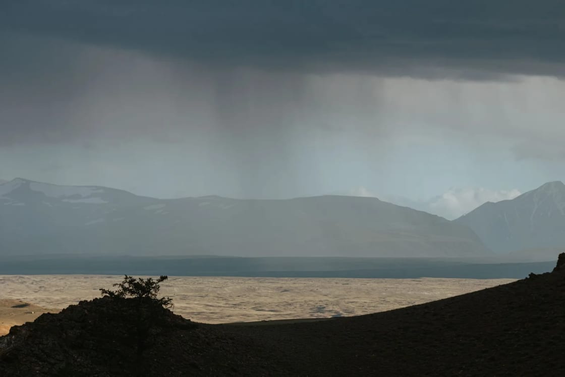
A wet, then colder week is coming to Utah County. The National Weather Service expects rain to reach Provo on Tuesday morning, Nov. 17, followed by a quick, heavy band of rain and snow as a cold front passes Tuesday evening. After a dry Wednesday, a colder and longer storm is due Thursday, Nov. 19, through Friday, Nov. 20, with heavier snow in the mountains and a chance of the first light snow on valley floors.
The forecasts below come from the Weather Service's Salt Lake City office, whose forecast discussion and point forecasts for Provo, Lehi, Payson, Sundance and Soldier Summit were issued late Sunday and early Monday, Nov. 16, 2026. Forecasts change, especially for snow levels, so check again before you travel.
| Day | Provo forecast | What to plan for |
|---|---|---|
| Monday, Nov. 16 | Mostly cloudy, high near 59 | Dry, the last mild day |
| Tuesday, Nov. 17 | Rain after 8 a.m., high near 54, 100% chance | 0.25 to 0.5 inch of rain; rain and snow mix Tuesday night, low around 29 |
| Wednesday, Nov. 18 | Mostly sunny, high near 47 | Cold morning; a break between storms |
| Thursday, Nov. 19 | Rain and snow, high near 46 | Second storm begins; heavier mountain snow |
| Friday, Nov. 20 | Rain and snow, high near 41 | Under half an inch of valley snow possible |
| Saturday, Nov. 21 | Mostly sunny, high near 43 | Low around 23 Saturday night |
What the Weather Service expects Tuesday
In its forecast discussion issued at 10:22 p.m. Sunday, the Salt Lake City office said "a cold system rich with Pacific moisture will bring widespread rain and mountain snow to the region late Monday through Tuesday." Showers could start in southwest Utah as early as Monday evening, with the bulk of the moisture arriving mid to late Tuesday morning.
Forecasters expect a lull by early Tuesday afternoon, then a cold front late Tuesday afternoon into the evening. The discussion says "a quick-moving band of heavy precipitation is expected to accompany this frontal passage," with the heaviest rates favored across northern Utah and southwest Wyoming. Showers should wind down quickly after the front, with most activity over by Tuesday night.
For Provo itself, the point forecast calls for rain after 8 a.m. Tuesday, a high near 54, and new rainfall of a quarter to half an inch. Tuesday night brings rain before 8 p.m., then rain and snow between 8 and 11 p.m., and rain and snow likely overnight, with a low around 29. Lehi's forecast is nearly the same. Payson's forecast keeps it mostly rain until 11 p.m. Tuesday, with only a chance of rain and snow after that.
Snow levels stay high for most of the storm, around 8,000 to 9,000 feet, according to the discussion, then drop to about 5,500 to 6,000 feet behind the front Tuesday night. That is why the mountains, not the valley, get most of the snow from this first system. The office warned that accumulating snow on high-elevation routes is expected to bring dangerous travel conditions.
A colder storm Thursday and Friday
After a short ridge of high pressure brings a mostly sunny Wednesday, the second storm arrives early Thursday. The Weather Service said it is "still on track to be colder and longer duration," running from early Thursday through at least Friday night, and that it will bring "more substantial snowfall for all Utah mountains given lower snow levels."
The big question for Utah Valley is whether the snow reaches the valley floor. The discussion says about 20% of the computer models show a colder scenario that could bring snow levels close to valley floors Thursday night, while most keep them higher. By Friday morning, the models agree on much colder air aloft that would put snow levels "near or below valley floors." The office's key messages say light accumulations could reach 5,000 feet late Friday. The Weather Service lists its Provo forecast point at about 1,388 meters, or roughly 4,550 feet, so the higher east bench neighborhoods sit closer to that 5,000-foot line than the valley floor does.
The Provo point forecast reflects that uncertainty. It calls for rain and snow on Thursday with a high near 46, rain before 8 p.m. Thursday and then rain and snow, and rain and snow Friday with a high near 41. Each period from Thursday night through Friday night shows less than half an inch of new snow possible. That is not a big valley snowstorm, but it is enough to make the first slushy commute of the season possible on Friday morning.
Mountain snow and canyon travel
The mountains east of Provo will see much more. The forecast for the Sundance area shows rain changing to rain and snow Tuesday, about an inch of new snow possible Tuesday night, and then snow Thursday with 3 to 5 inches possible Thursday night and another 3 to 5 inches Friday. Soldier Summit on US-6, the main route to Price and Moab, shows rain and snow Tuesday, snow Tuesday night with a low around 19 and wind gusts as high as 31 mph, and then 1 to 2 inches Thursday, 2 to 4 inches Thursday night and around an inch Friday.
UDOT's Timpanogos Area site lists two Utah County canyon routes under Utah's traction law. Provo Canyon (US-189) is Class 1, which applies only to vehicles over 12,000 pounds gross vehicle weight rating. The Alpine Loop (SR-92) is Class 2, which applies to all vehicles, but the site also says the Alpine Loop is closed for winter between the Pinehollow and Aspen Grove trailheads. UDOT says the restrictions are switched on when adverse weather warrants and that, for most areas, activation is based on current road conditions rather than forecasts. It tells drivers to watch electronic signs and to check road status before leaving. Our explainer on Utah's winter traction law and chains covers which tires count.
The same UDOT page lists a short closure of US-189 for rock blasting on Nov. 16 and Nov. 19, from 10 to 10:50 a.m., between Main Canyon Road in Wallsburg and the SR-113 intersection in Charleston. That stretch is on the Heber Valley side of Deer Creek Reservoir. If you commute between Utah Valley and Heber, plan around that window on Monday and Thursday.
Warnings for southern Utah travelers
If you're heading south for the weekend, the first storm is more serious there. The Weather Service issued a Winter Weather Advisory for its Southern Mountains zone from 9 p.m. Monday to 11 p.m. Tuesday. It calls for 1 to 5 inches of snow below 8,000 feet and 5 to 10 inches above, with locally higher amounts near Brian Head and in the Tushar Mountains and gusts as high as 45 mph. The advisory says winter driving conditions can be expected, "especially along higher elevation portions of SR-143 and SR-14."
The forecast discussion also says the coldest temperatures of the season are expected behind the late-week system, "with freeze conditions possible for lower Washington County and the Zion National Park area on Saturday." Anyone camping in southern Utah this weekend should pack for below-freezing nights.
The first hard freeze
Wednesday morning may bring the first freeze of the season to the Wasatch Front. The discussion gives Salt Lake City a 90% chance of reaching 32 degrees or lower Wednesday morning, and says it would be the first time that site has seen freezing temperatures this season. Provo's forecast shows a low around 29 on Tuesday night and around 30 Wednesday night. Lows fall to around 25 Friday night and around 23 Saturday night.
That makes this the week to finish fall chores. Disconnect garden hoses, drain and blow out sprinkler lines if you haven't, cover outdoor faucets and bring in potted plants. Our Provo weather guide explains what each season is like here, and our month-by-month look at Provo snowfall shows how much snow the valley usually gets in late fall.
What to do this week
- Tuesday commute: Expect wet roads most of the day, and a burst of heavy rain or a rain and snow mix with the front Tuesday evening. Leave extra following distance and turn on headlights.
- Wednesday morning: Watch for slick spots on bridges and shaded roads after Tuesday night's below-freezing low.
- Thursday and Friday: Check the forecast Thursday night before the Friday morning drive. If snow levels fall to the valley, the higher benches are closest to the forecast 5,000-foot snow line.
- Canyon travel: Check UDOT Traffic before driving Provo Canyon, US-6 or I-80, and carry a scraper, warm layers and water in the car.
- Weekend road trips: The Provo forecast turns mostly sunny on Saturday, Nov. 21, after the storm. If you have a flexible long drive, Saturday's clearer forecast is easier than Thursday or Friday.
If you're new to winter in Utah Valley, our guides to snow removal in Provo and road conditions and closures explain where to check before you leave and what the city plows first.
Where to get updates
The National Weather Service Salt Lake City office posts forecasts, advisories and its forecast discussion at weather.gov/slc. Enter your address on weather.gov for a point forecast, because conditions on the bench can differ from the valley floor. UDOT posts road conditions and traction alerts at udottraffic.utah.gov and in the UDOT Traffic app, and its Timpanogos Area site lists Provo Canyon and Alpine Loop closures. We'll update this story if forecasters issue an advisory for Utah Valley.
Related on Provo.com
- Provo weather: what each season is really like
- Provo snowfall by month
- Utah winter driving: traction law and chains
- UDOT's new winter traction tool for Utah County drivers
- Provo Canyon in winter
- Snow removal in Provo
Frequently Asked Questions
When will it rain in Provo this week?
Will it snow in the valley this week?
How much snow will the mountains get?
Is there a winter weather advisory?
When is the first freeze in the valley?
Do I need snow tires for Provo Canyon?
Is US-189 closed this week?
Where can I check the forecast and roads?
Sources
The facts in this guide were checked against these sources. Hours, fees and rules change, so confirm anything time-sensitive with the source before you go. How we make Provo.com.
- Area Forecast Discussion, National Weather Service Salt Lake City, issued 10:22 p.m. MST Nov. 15, 2026, National Weather Service. Checked November 16, 2026.
- Point forecast for Provo, Utah, National Weather Service. Checked November 16, 2026.
- Point forecasts for Sundance, Lehi, Payson and Soldier Summit, National Weather Service. Checked November 16, 2026.
- Winter Weather Advisory, Southern Mountains, National Weather Service. Checked November 16, 2026.
- Traction Law: Timpanogos Area, Utah Department of Transportation. Checked November 16, 2026.