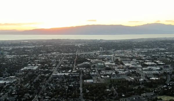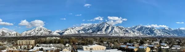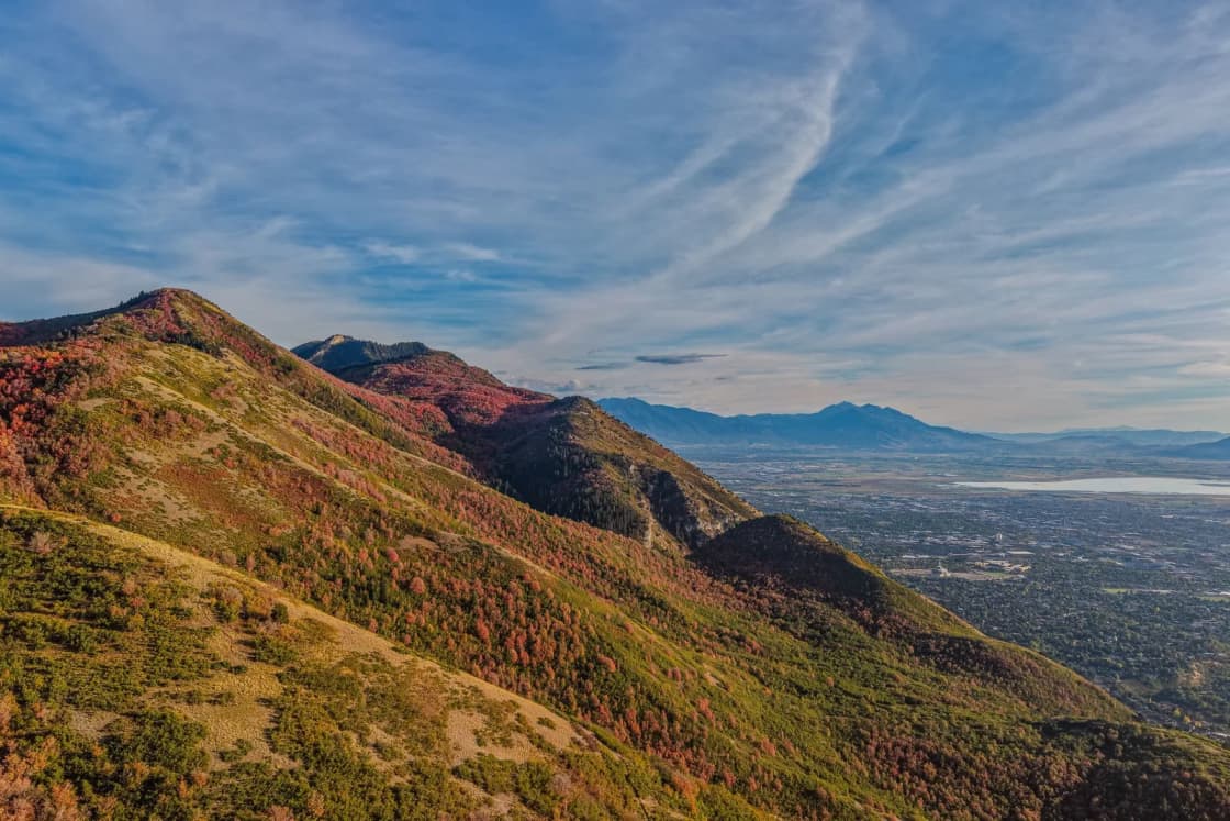
Utah County's cities sit between about 4,500 and 5,600 feet above sea level. By the U.S. Geological Survey's elevation service, Orem is about 4,773 feet, Lehi 4,568, Provo 4,553 and Spanish Fork 4,577. The lowest is Saratoga Springs (4,498 feet), on Utah Lake; the highest is Woodland Hills (5,577), on the mountain above Salem.
Each figure is the USGS Elevation Point Query Service's value, in feet, at the city's official point in the USGS Geographic Names Information System (GNIS), usually near its historic center, queried Nov. 9, 2026. Every city here covers a range of elevations; this is one consistent point for each, not an average.
Every city and town
| City | Feet | Meters |
|---|---|---|
| Woodland Hills | 5,577 | 1,700 |
| Elk Ridge | 5,357 | 1,633 |
| Cedar Fort | 5,085 | 1,550 |
| Highland | 4,976 | 1,517 |
| Santaquin | 4,971 | 1,515 |
| Cedar Hills | 4,960 | 1,512 |
| Alpine | 4,951 | 1,509 |
| Eagle Mountain | 4,887 | 1,490 |
| Fairfield | 4,881 | 1,488 |
| Orem | 4,773 | 1,455 |
| Mapleton | 4,730 | 1,442 |
| Payson | 4,657 | 1,419 |
| Lindon | 4,644 | 1,416 |
| Pleasant Grove | 4,631 | 1,411 |
| Salem | 4,610 | 1,405 |
| American Fork | 4,605 | 1,404 |
| Genola | 4,600 | 1,402 |
| Springville | 4,581 | 1,396 |
| Spanish Fork | 4,577 | 1,395 |
| Lehi | 4,568 | 1,392 |
| Provo | 4,553 | 1,388 |
| Goshen | 4,552 | 1,387 |
| Vineyard | 4,525 | 1,379 |
| Saratoga Springs | 4,498 | 1,371 |
Why the numbers vary so much within a city
Utah County is a tilted valley floor. Land rises from Utah Lake on the west toward the Wasatch Range on the east, so most cities climb several hundred feet from their low side to their high side.
- Orem's map point is higher than Provo's because it sits farther up the slope toward the mountains. In USGS checks, Orem's west side is about 4,530 feet and its northeast bench above 5,200.
- The bench cities (Alpine, Highland, Cedar Hills, Elk Ridge, Woodland Hills) sit on the higher ground along the mountains, hundreds of feet above the valley floor.
- Weather stations show the same split. NOAA's long-running stations sit at about 5,100 feet in Alpine, 4,690 in Pleasant Grove, 4,570 on BYU's campus in Provo and 4,500 near Utah Lake in Lehi, and the higher ones get noticeably more snow; see how much snow Provo gets.
Compared with the rest of the Wasatch Front
By the same USGS service, downtown Salt Lake City sits around 4,260 feet, about 300 feet lower than downtown Provo, which surprises most people. Our Provo elevation guide explains what that altitude changes for baking, sun exposure and sleep.
What 4,500 to 5,600 feet means day to day
- Baking: high-altitude adjustments start around 3,000 feet, so every Utah County kitchen is in that range.
- Sun: UV exposure rises with elevation; sunscreen matters even in winter.
- Water boils lower than at sea level, a little more so on the benches.
The Provo elevation guide covers each of these in detail.
Related guides
- Provo's elevation and what it changes
- Utah County cities by population
- How much snow Provo gets
- Provo weather by month
- Utah County home values by city
Frequently Asked Questions
What is the elevation of Orem, Utah?
What is the elevation of Lehi, Utah?
What is the elevation of Provo?
What is the highest city in Utah County?
What is the lowest city in Utah County?
Is Utah County higher than Salt Lake City?
Sources
The facts in this guide were checked against these sources. Hours, fees and rules change, so confirm anything time-sensitive with the source before you go. How we make Provo.com.
- Elevation Point Query Service, U.S. Geological Survey. Checked November 9, 2026.
- Geographic Names Information System, Domestic Names: Utah, U.S. Geological Survey. Checked November 9, 2026.
- U.S. Climate Normals 1991-2020 station inventory, NOAA National Centers for Environmental Information. Checked November 9, 2026.