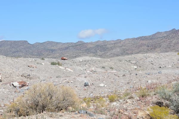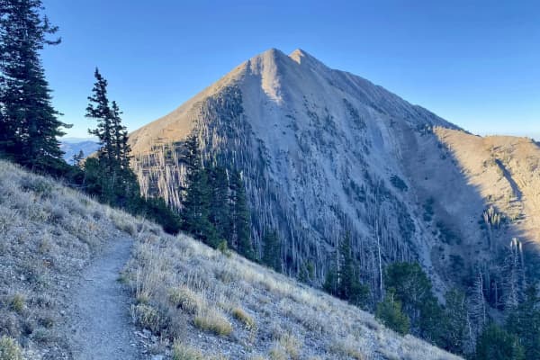

Nancy Holt's Sun Tunnels are about 242 miles and five hours from downtown Provo, by an OpenStreetMap routing estimate (OSRM, no traffic) from Center Street and University Avenue. The route is I-15 to I-80, west across the salt desert past Wendover into Nevada, north on Nevada 233 through Montello, back over the Utah line, and the final stretch on gravel roads near the old railroad town of Lucin. There is no fee, no building, no water and no gas. There are four concrete tubes in a sagebrush valley, laid out to catch the sun at the solstices. If you time the trip for August, Bonneville Speed Week runs on the salt just east of town.
It is one of the most remote trips on this site, and the reason most people make it is the same reason they go to Spiral Jetty: to stand inside a famous piece of land art in the place it was made for. This guide covers the directions, the timing, and a way to string Utah's land art and the West Desert into one long weekend.
What you are driving to
From the Dia Art Foundation, which acquired the work in 2018 with support from the Holt-Smithson Foundation:
- Made by Nancy Holt from 1973 to 1976, on a 40-acre site she bought in 1974.
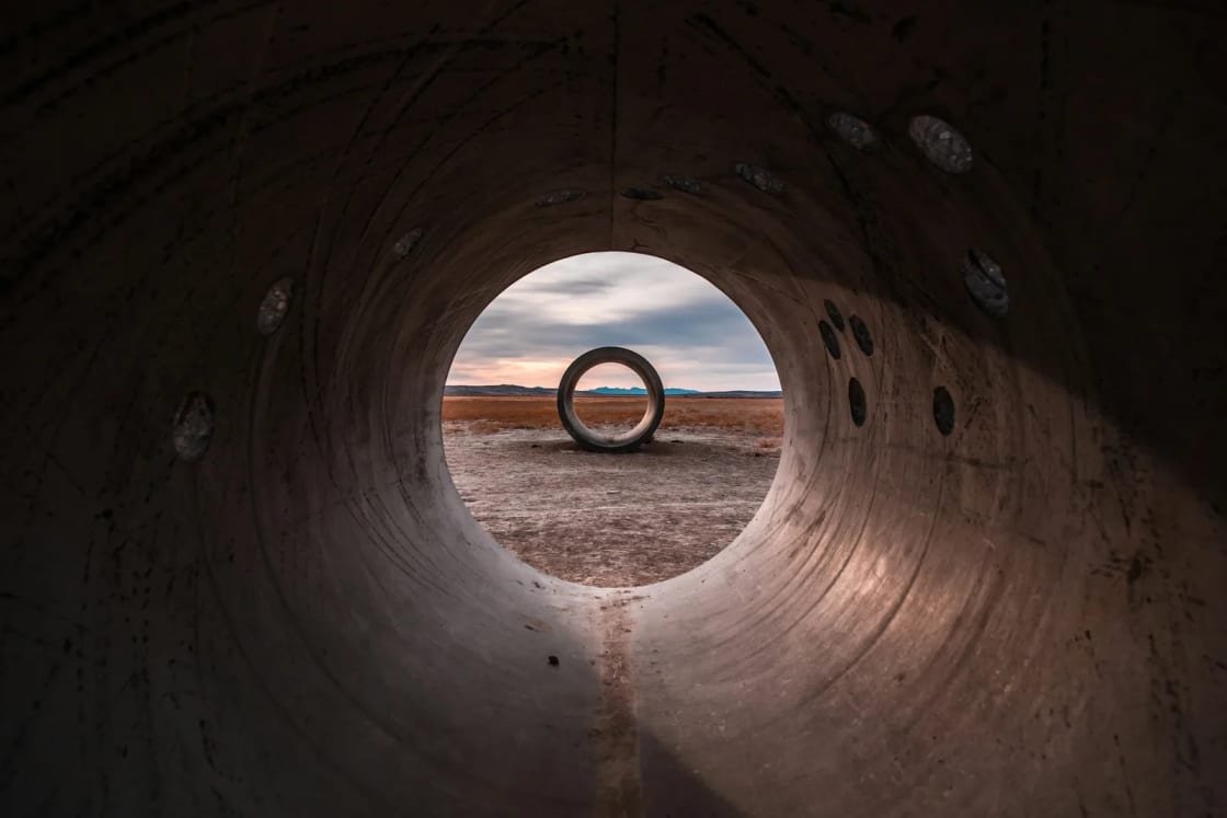
- Four concrete cylinders, each 18 feet long and 9 feet in diameter, arranged in an open cross.
- Aligned to frame the sun on the horizon during the summer and winter solstices.
The next alignment is the winter solstice, December 21, 2026. Sunrise and sunset are the hours that count. For winter, that means driving out in the dark or staying nearby.
Directions
Dia's directions start from Salt Lake City. From Provo, add about an hour to reach I-80 west.
- Take I-80 west through Wendover, Utah, to Oasis, Nevada (Dia puts this at 151 miles from Salt Lake City).
- Take Exit 378 onto NV-233 toward Montello and continue about 20 miles. Montello has a gas station; fill up.
- Stay on NV-233 back into Utah, where it becomes UT-30. About 8 miles past the state line, take the first of two gravel roads on the right (Grouse Creek Road) for 5 miles to the former town of Lucin.
- Bear right at the unmarked fork, cross the railroad tracks, and go about 2 more miles.
- Turn left onto Little Pigeon Road for about 2 miles, then turn right onto the gravel area and follow it three-quarters of a mile to the site.
Dia warns that phone reception may be unreliable and advises being ready for unpredictable weather and car trouble. Download the route before you leave I-80, carry a spare tire you know how to change, and do not try the gravel in heavy rain or snow.
What to bring
Dia's list starts with what is not there: no bathrooms, food, fresh water or fuel. The nearest restrooms, water and gas are in Montello, about 45 minutes away. So:
- Water for everyone, more than you think.
- Food for the day.
- A full tank from Montello or Wendover.
- Layers for a cold morning or evening in open desert.
- A headlamp if you are staying for sunset or the stars.
Rules (Dia): leave no trace, carry out all waste, do not tamper with the artwork, do not build fire pits, do not trample vegetation, and leave the artwork and land as you found them.
The rest of the art trip
The Tree of Utah. On the way west on I-80 you pass Karl Momen's 87-foot sculpture on the north side of the freeway, about 95 miles west of Salt Lake City and 25 miles east of Wendover. Utah.com says Momen built it from 1982 to 1986 with 225 tons of cement, almost 2,000 ceramic tiles and five tons of welding rod, plus rocks and minerals native to Utah. Utah.com does not list an exit or parking for it, so plan to see it from the car. For the rest of Tooele County, from the Benson Grist Mill to Deseret Peak, see things to do in Tooele and the West Desert.
The Bonneville Salt Flats and Wendover. The flats are just east of Wendover, and the town's World War II airfield is another reason to stop. Our Great Salt Lake and Bonneville Salt Flats guide covers when you can drive on the salt, the photography rules and the airfield museum.
Spiral Jetty. Robert Smithson's 1970 coil at Rozel Point is the other half of Utah's land art, about 16 gravel miles past the Golden Spike visitor center. It is a separate day from Provo, or the first half of a loop; our Spiral Jetty and Golden Spike guide has the directions and the steam-engine schedule.
Three ways to do it
The one-day push (long). Leave Provo before dawn, reach the Sun Tunnels around midday, an hour or two at the site, and back by 9 or 10 p.m. About ten hours in the car. It works for a group of drivers who mostly want to see the art.
The Wendover overnight (best for most). Day one: drive out I-80 past the Tree of Utah, an afternoon on the salt flats, sleep in Wendover. Day two: the Sun Tunnels are about 79 miles and two hours 20 minutes from Wendover by the routing estimate, through Oasis and Montello. Be there for morning light, then home, about 164 miles and two hours 45 minutes from Wendover to Provo. Wendover's two halves keep different rules but the same Mountain clock, which the salt flats guide explains.
The land art loop (two days, the full version):
| Leg | Distance and time (OSRM) |
|---|---|
| Provo to Golden Spike | 130 mi, about 2 hr 30 min |
| Golden Spike to Spiral Jetty and back | About 16 gravel miles each way |
| Golden Spike to Sun Tunnels (SR-83, I-84, UT-30) | 138 mi, about 3 hr 25 min |
| Sun Tunnels to Wendover | 79 mi, about 2 hr 20 min |
| Wendover to Provo | 164 mi, about 2 hr 45 min |
Day one: Golden Spike in the morning, Spiral Jetty at midday, then west on UT-30 to reach the Sun Tunnels for sunset. Day two: Wendover, the salt flats, the Tree of Utah from the freeway, and home. The night in between is the hard part to plan. Dia's page says nothing about camping at the site, so the simple answer is to drive the 79 miles to Wendover after sunset, with the gravel stretch done slowly in the dark, and sleep there.
Seasons
The site has no season and no hours. The roads do. Summer is hot and exposed, with almost no shade beyond the tunnels themselves. Late fall and early spring are the comfortable months, as long as the gravel is dry. Winter is the solstice season, with the coldest nights and the shortest window of light.
The same West Desert holds Utah's classic collecting grounds for topaz, geodes and trilobites, which our rockhounding guide covers if you want a second reason to make the drive. If dark skies are part of the draw, our stargazing near Provo guide covers the closer spots, and the full list of long drives is in our day trips from Provo guide.
Frequently Asked Questions
How far are the Sun Tunnels from Provo?
What are the Sun Tunnels?
Does it cost anything to visit the Sun Tunnels?
When is the best time to see the Sun Tunnels?
Are there bathrooms or gas at the Sun Tunnels?
What is the Tree of Utah?
Can you see the Sun Tunnels and Spiral Jetty in one trip?
Can you camp at the Sun Tunnels?
Sources
The facts in this guide were checked against these sources. Hours, fees and rules change, so confirm anything time-sensitive with the source before you go. How we make Provo.com.
- Nancy Holt, Sun Tunnels: visit, Dia Art Foundation. Checked October 20, 2026.
- The Tree of Utah, Utah.com. Checked October 20, 2026.
- OSRM route service (OpenStreetMap data), driving estimates from Center St & University Ave, Provo, Project OSRM. Checked October 20, 2026.
- Sun Tunnels (location), Google Places. Checked October 20, 2026.