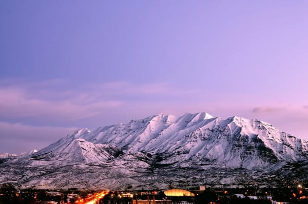

Stand at the mouth of Spanish Fork Canyon and look west across the farmland toward Utah Lake. A good deal of what is green out there is green because of a hole bored through the mountain behind you, more than a century ago, to bring water from a river that was flowing the wrong way.
The Strawberry Valley Project is not a famous piece of engineering. It has no visitor center and no place in the state's tourist iconography. But it is arguably the single most consequential piece of infrastructure ever built for Utah Valley, and its consequences are still being paid out — in irrigated lawns, in municipal water portfolios, and in a set of legal and political questions that remain live.
The short version
Utah Valley ran out of water within decades of settlement. Streams were fully appropriated.
The fix was to reverse a river. Strawberry water drains east toward the Colorado. The project sent it west.
A tunnel through the Wasatch carried it into the Great Basin.
Among the first federal reclamation projects in the country, and the first in Utah.
The water still arrives. It now irrigates subdivisions rather than orchards.
The tribal water questions are unsettled, and this article does not settle them.
The problem, which arrived faster than anyone expected
Utah Valley was settled on an irrigation model from the beginning. There was no other option: the valley floor receives too little precipitation to farm without supplementing it, and what falls arrives mostly in winter.
The natural supply comes off the Wasatch as snowmelt, and it has a shape. It builds through spring, peaks in a compressed pulse as the snowpack comes off, and then falls away through exactly the part of the summer when a growing crop needs water most. Our guide to spring runoff and flood risk covers the same seasonal curve from the hazard side; from the agricultural side it is the same curve read as a shortage.
The first settlers took the easy water — the streams closest to the good ground. Within a generation, later arrivals were taking progressively harder water, and by the closing decades of the nineteenth century the streams draining into the southern end of the valley were fully appropriated. There was no unclaimed flow left to divert.
That produced the classic western sequence: a period of intense local conflict over shares and turns, followed by the realization that the argument could not be won because the total was fixed.
There were only two ways out. Store the spring pulse so it could be released in late summer. Or import water from somewhere else.
The Strawberry Valley Project did both.
The idea
East of the Wasatch crest, in a high basin, the Strawberry River gathered a substantial flow and carried it east and north into the Duchesne, and from there into the Green, and from there into the Colorado.
Utah Valley lies west of the crest, in the Great Basin — an endorheic region with no outlet to the sea, where water either evaporates or sinks.
The proposal was to dam the Strawberry, store its water, and then move that water through the mountain range into the Great Basin.
This is a transbasin diversion, and it is a consequential thing to do. Water moved between basins does not come back. Every drop sent west was a drop permanently removed from the Colorado system, and the arrangements governing that removal have been argued about, in various forms, ever since.
The engineering was demanding by the standards of the day. A dam and storage reservoir on the east side. A tunnel driven through the Wasatch, in rock, without modern equipment. And a distribution system on the west side to carry the arriving water out across the farms.
Why the federal government built it
The timing was not coincidence.
The Reclamation Act of 1902 created a federal program to build irrigation works across the arid West, funded from the proceeds of public land sales, with the cost to be repaid by the water users who benefited. The theory was that irrigation would convert unproductive public land into farms and towns, and that the settlers would repay the investment over time.
The newly created United States Reclamation Service needed early projects. The Strawberry Valley Project became one of them — and the first federal reclamation project in Utah.
That mattered locally in a way that is easy to miss. The works were beyond the financial reach of the irrigation companies and cooperative arrangements that had built everything up to that point. Utah's settlement pattern had produced impressive communal waterworks, but nothing on the scale of a tunnel through a mountain range. Federal capital was the difference between the idea and the thing.
The repayment obligation came with it, and the Strawberry Water Users Association was formed to represent the irrigators, handle repayment, and operate the delivery system. That pattern — federal construction, local operation by a water users organization — became the standard model across the West and remains recognizable in how Utah water is administered today.
What it changed on the ground
The arriving water was supplemental, and that word carries the whole significance.
The farms already existed. They already had water rights on the local streams. What they lacked was reliability in the late season, and reliability is what determines what a farmer can plant.
A farm with water only until July grows what tolerates a dry August. A farm with water into September can grow crops that need the whole season, can carry orchards that represent years of investment before they return anything, and can plan across years rather than reacting to each one.
The southern end of Utah County — the ground around Spanish Fork, Payson, Salem and Santaquin — is agricultural in character today substantially because that reliability arrived. The orchards along the bench, which our guide to u-pick orchards in Santaquin and Payson covers as a seasonal attraction, sit on ground whose water history runs back through this project.
The second act
The original project was not the end of it.
Much later, a far larger federal undertaking reworked and expanded the system substantially, enlarging the storage on the eastern side and building out a much bigger network of collection and delivery works. The Strawberry Reservoir that people fish today is the product of that later enlargement rather than the original dam — which is why the reservoir most Utah Valley residents know is considerably larger than the one the project first created.
That later expansion is a large and complicated subject in its own right, with its own political history, its own cost disputes and its own environmental record. What matters for the purposes of this article is the continuity: the basic proposition established in the early twentieth century — that Utah Valley's water supply would be supplemented by water carried through the Wasatch from the Colorado basin — was not abandoned. It was scaled up. We tell it in the water wars.
What happened when the farms became neighborhoods
Here is the part that connects a century-old irrigation project to a household bill in 2026.
The water rights and shares attached to farmland did not disappear when that farmland was subdivided. They were carried forward — transferred, consolidated, and folded into the systems that serve the subdivisions built on top of the fields.
The physical infrastructure was carried forward too. The canals, laterals and delivery works built to serve agriculture became the skeleton of the pressurized secondary water systems that now irrigate lawns and gardens across the southern half of Utah County. Our guide to secondary water in Utah Valley covers how those systems are organized today; this is where a great deal of that organization comes from.
The practical consequences for a modern household:
Your sprinklers may run on project water. Untreated, pressurized, seasonal — and delivered through a network whose logic was set by where the fields used to be.
Your city's water portfolio may include project water. Municipal supplies across the valley are assembled from multiple sources, and the shares acquired from converted agricultural land are part of the picture.
The odd geography of the delivery network — canals crossing back yards, corridors running diagonally through subdivisions, districts whose boundaries match no city — is the fossil of the agricultural layout. This is also why, as our guide to neighbor disputes over boundaries notes, water conveyance corridors have specific legal protection against being absorbed by adjacent landowners.
Summer bills are irrigation bills. The seasonal spike in a Utah Valley utility statement is the descendant of this system, a point our guide to utility rates takes up in detail.
The part that is contested
Any honest account of this project has to say clearly that it is not settled history.
The project drew on land and water within the Uintah and Ouray Reservation, and the relationship between federal reclamation development in the Uinta Basin and the water rights of the Ute Indian Tribe has been the subject of agreements, litigation and negotiated settlement efforts for more than a century. The tribe's position, the federal government's obligations as trustee, and the effect of successive agreements are all matters on which there are substantive disputed accounts.
This article does not resolve any of that, and a paragraph in a local guide should not pretend to. What it can usefully do is say that the question exists, that it is live rather than historical, and that anyone who wants the substance should go to the tribe's own published materials and to the primary agreements and court records rather than to a secondhand summary — including this one.
The broader point applies to western water generally. Projects of this kind produced real prosperity for the communities they served and imposed real costs, ecological and human, that were frequently borne by people other than the beneficiaries. Both halves are true, and an account that gives only one is not a shorter version of the truth but a different thing.
Seeing it
There is no monument, which is fitting for infrastructure that works.
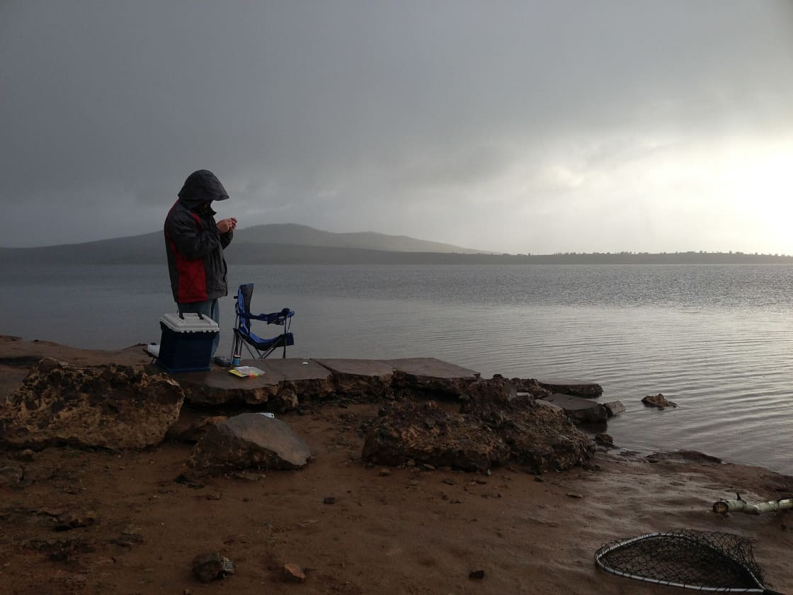
Strawberry Reservoir is public and heavily used — for fishing, covered in our guides to fishing near Provo and ice fishing in Utah Valley. What you are looking at is the enlarged modern reservoir.
Diversion structures, canals and tunnel portals exist across the landscape on both sides of the range. Much of it is operating infrastructure, not a heritage site, and should not be approached or entered.
The clearest evidence is not a structure at all. Drive south from Spanish Fork toward Santaquin in July and look at what is green. The pattern of irrigated ground across the southern end of the valley is the project's real monument, and it is visible from any road.
The pattern it set for everything after
The Strawberry Valley Project is worth understanding partly for itself and partly because it established the template that shaped a century of Utah water development.
Federal capital, local operation. The works were built with federal money and run day to day by a local water users organization carrying the repayment obligation. That division — public construction, user operation, user repayment — became standard across the West and is still visible in how Utah's districts and companies are structured today.
Storage plus importation. The project treated the seasonal shape of the supply as the problem rather than the total, and solved it with a reservoir to move water through time and a tunnel to move it through space. Nearly every subsequent Utah water project has done some version of both.
Agricultural rights becoming municipal supply. Nobody planned this, and it has happened everywhere. Water developed for farms was carried, through subdivision and share transfer, into the systems that now serve houses. The rights were the durable asset; the crops were not.
Interbasin transfers as permanent political facts. Water moved between basins does not go back, and the arrangements governing it become the subject of argument for generations. That is not a criticism of the project so much as an observation about what this class of infrastructure does.
Reading the landscape
Once you know the project is there, you start seeing its fingerprints across Utah Valley.
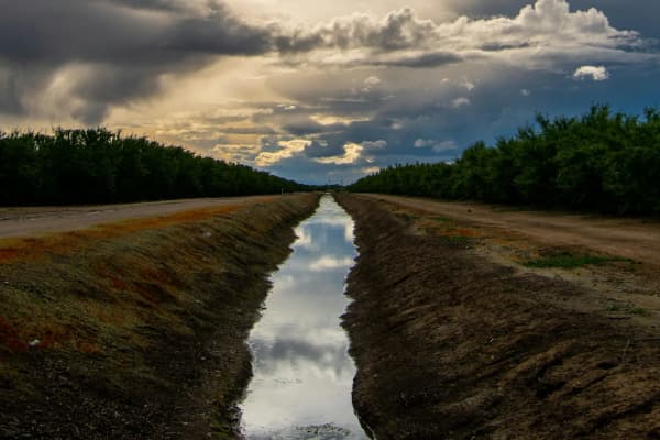
Canals running diagonally across an otherwise rectangular street grid. The grid was platted; the canal followed contour, and the contour came first.
Districts whose boundaries match nothing. Not the cities, not the school districts, not the zip codes. They match where the ditches went, which is to say where the fields were.
Corridors through back yards. Strips of land nobody mows, easements nobody built on, and the occasional concrete structure in an odd place. Our guide to neighbor disputes explains why those corridors have specific legal protection — long occupation does not convert them into private ground.
A sharp line between irrigated and unirrigated ground at the edge of a delivery area, visible from any elevated road in July. That line is not a soil boundary. It is an infrastructure boundary, and it was drawn a century ago.
Place names. Ditch, canal, flume, headgate and share turn up in street names, subdivision names and neighborhood usage across the southern valley, generally in places where the thing itself is long buried.
None of this is signposted, and all of it is legible once you know what you are looking at — which is, in the end, the most useful thing a piece of local history can offer.
The engineering, in outline
The technical achievement is easy to underrate from a century's distance, because tunnels through mountains are now unremarkable.
The problem was straightforward to state and hard to solve. Water had to be stored on one side of a mountain range and delivered to the other, through rock, using the methods available in the first decade of the twentieth century — drilling, blasting, mucking out by hand and by rail, with ventilation and drainage that had to be engineered as the work advanced.
Tunnel work of this kind proceeds from both ends simultaneously, which requires surveying accurate enough that the two headings meet. It runs into whatever the mountain contains, which is never entirely known in advance: water under pressure, unstable ground requiring support, rock harder or softer than anticipated. Progress is measured in feet per day, and a bad stretch can cost months.
On the storage side, a dam had to be built in a remote high basin, far from rail and from any town, which meant that materials, equipment, workers and everything to sustain them had to be brought in and housed.
The distribution side was less dramatic and equally necessary: the arriving water had to be carried out across the farms through canals and laterals, which is a large earth-moving exercise across a wide area and the part of any irrigation project that is least celebrated and most extensive.
None of it was novel in principle. All of it was demanding in execution, and it was undertaken for a valley whose total population at the time was a fraction of what it now is.
What it cost, in more than money
Any honest account of a project of this age has to note what does not appear in the engineering summary.
The work was dangerous. Tunnel driving in this era, with the explosives, ventilation and ground support then available, carried real risk, and the people who took that risk were laborers whose names are not on anything.
The reservoir inundated a valley. Storage means flooding ground that was previously something else — habitat, grazing, and land that people used.
The river below was permanently altered. A stream whose flow is captured and diverted through a mountain is not the stream it was, and the ecological consequences of transbasin diversion are a substantial subject in their own right.
The benefit and the burden fell on different people. Farmers in Utah Valley received reliable late-season water. The basin of origin lost it. That asymmetry is intrinsic to interbasin transfer and it is the reason such projects generate legal and political attention for as long as they operate.
None of this makes the project a mistake, and none of it is erased by the prosperity it produced. Both things are true, and a local history that reports only the first half is not a shorter account but a different one.
Related Guides
- Secondary Water in Utah Valley — the modern descendant of the delivery system
- Provo Water Explained — where culinary water comes from today
- Utility Rates in Utah Valley — why the summer bill is an irrigation bill
- Spring Runoff and Flood Risk in Utah Valley — the seasonal curve the project was built to smooth
- Fishing Near Provo — the reservoir as it is used now
- U-Pick Orchards in Santaquin and Payson — the ground the late-season water made possible
Frequently Asked Questions
What was the Strawberry Valley Project?
Why did Utah Valley need imported water at all?
What does a transbasin diversion mean?
Is Strawberry Reservoir the same thing as the project?
Who paid for it and who owns the water?
Does the project still matter now that the farms are subdivisions?
What happened to the Ute Indian Tribe's interests in this water?
Can I visit anything from the original project?
Sources
The facts in this guide were checked against these sources. Hours, fees and rules change, so confirm anything time-sensitive with the source before you go. How we make Provo.com.
- Strawberry Valley Project, U.S. Bureau of Reclamation. Checked October 12, 2026.
- Strawberry Valley Was Utah's First Federal Reclamation Project, Utah Division of State History (History to Go). Checked October 12, 2026.
- Central Utah Project Timeline, U.S. Department of the Interior. Checked October 12, 2026.