
Bouldering in Utah Valley works on three distances. Ten minutes: a gym in Provo or Lehi, or the boulders at the mouth of Rock Canyon after class. An hour: the granite boulders of Little Cottonwood Canyon, one of the deepest bouldering areas in the state. Two and a half hours: Joe's Valley in Emery County, the sandstone destination climbers fly in from other countries to visit, which sits close enough to Provo for a weekend.
This page covers all three, with the rules that matter at each. For roped climbing, see our guides to rock climbing in Provo and American Fork Canyon.
The gyms
The Quarry Indoor Climbing Center, 2494 N University Parkway, Provo. About 6 minutes from downtown. The Quarry opened in September 2000 and is Provo's dedicated climbing gym; our Provo climbing guide covers its walls in detail, including an upstairs devoted to bouldering. Its posted winter hours, from October 1: Monday, Wednesday and Friday 10 a.m. to 10 p.m.; Tuesday and Thursday 6 a.m. to 10 p.m.; Saturday 10 a.m. to 10 p.m.; Sunday noon to 6 p.m. That Sunday window is worth knowing in a valley where many things close on Sunday, and it corrects older advice, including our own, that every indoor wall in the valley is closed that day. Mountainworks, the climbing shop that shares the address, is where local route setters and guidebook authors trade advice, and where to ask about crash pad rentals.
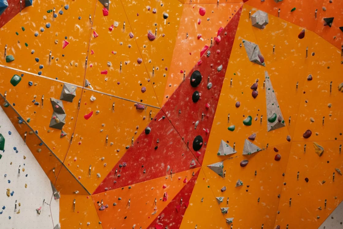
Momentum Indoor Climbing Lehi, 401 S 850 E, Lehi. About 16 miles and 21 minutes from downtown Provo. Momentum's Lehi gym is built for bouldering: it lists 21,000 square feet of climbing terrain, more than 225 boulders, and 500 square feet of kids' bouldering, plus fitness and yoga space. Day rates posted in October 2026: adult (12 and up) $29, child (11 and under) $21, a 10-visit punch card $239, shoe rental $7, and a two-week trial with a 90-minute Learn to Climb class for $49. Google lists hours of 6 a.m. to 11 p.m. weekdays, 10 a.m. to 10 p.m. Saturday, and 10 a.m. to 6 p.m. Sunday. Momentum runs a bouldering league; a multi-gym membership also covers its Salt Lake-area locations.
The Project at UVU, in the Student Life and Wellness Center, Orem. A rope gym first, with some bouldering. Our Provo climbing guide covers who gets in free and what a guest pass costs.
The local rock
Mountain Project's database, as of October 2026, shows how much bouldering sits in the Southern Wasatch above Utah Valley. It is not much by Utah standards, and that is useful to know before you load the pad.
| Area | Boulder problems listed | Rock | From downtown Provo |
|---|---|---|---|
| American Fork Canyon | 66 | Limestone | About 31 minutes (to Timpanogos Cave) |
| Rock Canyon | 54 | Quartzite and limestone | About 8 minutes |
| Little Rock Canyon Boulders | 35 | Limestone | About 13 minutes |
| Dry Creek, Alpine | 32 | Granite | About 38 minutes |
Rock Canyon. The canyon is better known for its roped routes; Mountain Project describes yellow and reddish quartzite near the mouth and gray limestone farther up. Its 54 listed boulder problems are scattered close to the main trail, which is the canyon's appeal and its etiquette problem: hikers, runners, dogs and bikes share the floor, so put your pad where it will not trip anyone. Our Rock Canyon trail guide covers parking at the trailhead.
Little Rock Canyon Boulders. Just north of Rock Canyon, above the Provo temple neighborhood. Mountain Project's page describes "nice limestone, small hike, no crowds," with 35 problems from V0 to V10. Access is from trailheads in a residential area, including the one at the end of Imperial Way, which the page says is now open to the public. Park legally, keep voices down while loading and unloading, and, as the page asks in capitals, keep it clean.
Hobble Creek Canyon. East of Springville. Mountain Project lists 18 boulder problems among 45 climbs, notes that car access ends in winter when the road closes, and points out two developed campgrounds in the Right Fork, which makes it a cheap overnight with climbing. Our guide to camping when everything is booked covers those campgrounds.
Dry Creek, Alpine. A handful of granite boulders near the Dry Creek trailhead past the Alpine rodeo grounds, developed in the early 2000s, with 32 problems listed. It is the closest granite to Provo.
The honest summary: the local rock is for an after-class session, not a season. For that, drive north.
Little Cottonwood Canyon: the granite hour
About 36 miles and 49 minutes from downtown Provo by OpenStreetMap routing, to the canyon mouth off Wasatch Boulevard.
Mountain Project's "Boulders - Little Cottonwood" area lists 1,085 boulder problems, nearly six times the four Utah County areas above combined, on the quartz monzonite (essentially white granite) that also makes the canyon a trad climbing center. For a Utah Valley climber who wants volume without an overnight, this is the answer.
Access is a negotiated privilege. Much of the canyon's north side, roughly from The Egg past the Gate Buttress, is owned by, or reached across land owned by, The Church of Jesus Christ of Latter-day Saints. In June 2017 the Salt Lake Climbers Alliance, the Church and Access Fund signed a recreational lease for 140 acres known as the Gate Buttress, about a mile up the canyon, securing access to about 588 routes and 138 boulder problems. Mountain Project's access note says the climbs on the Church Buttress above the vault, and the Glen boulders, remain closed. Respect the closed areas; the lease depends on it.
Our Cottonwood Canyons family hikes guide covers parking and canyon traffic for the same drive.
Joe's Valley: the pilgrimage
About 114 miles and roughly 2 hours 40 minutes from downtown Provo by OpenStreetMap routing, to the bouldering area west of Orangeville in Emery County. Orangeville's city page calls the bouldering "world famous" and puts it about 15 minutes from town.
What it is. Mountain Project's Joe's Valley page, with 802 climbs listed, calls it "one of the world's premier bouldering destinations": sandstone that is "textured but skin-friendly," generally good landings, and approaches that are "almost all 5 minutes or less." The page's author adds an opinion worth taking seriously: there are problems at every grade, but the best experience is at about V4 and above. The Bureau of Land Management counts more than 188 bouldering sites and 9.7 miles of social trails in the area.
Getting there. From Orangeville, take Highway 29 west. Turn right onto Route 57 for the New Joe's area, or continue on 29 to where the road splits into the Left Fork and Right Fork. The area sits at about 6,345 feet.
The one rule that protects the rock
Do not climb on wet sandstone. Mountain Project's access notice says sandstone can lose up to 75 percent of its strength when wet, which makes it easy to snap holds and permanently damage classic problems. Wait 48 to 72 hours after rain or snow, and if the ground is still damp, the rock is still wet. The page points climbers to Utah State University's climate dashboard to check recent precipitation before driving. Two and a half hours is a long way to drive to find out it rained Thursday.
Camping: what the BLM says
The BLM's Price Field Office manages most of the bouldering area; the Manti-La Sal National Forest takes over up the canyons, and there are pockets of private and state land.
- New Joe's Bouldering Area Campground: BLM lists sites at $15 a night, with America the Beautiful senior and Golden Age passes taking 50 percent off, and a 14-day limit. BLM's area page counts 13 individual sites.
- Cottonwood Canyon Campground: BLM's area page counts 10 individual sites.
- Dispersed camping on BLM land: BLM Utah's rules apply, a 14-day limit, camping only in previously disturbed sites, travel only on designated routes, and pack out all trash. The Joe's Valley festival organizers' camping guide adds two local specifics: do not camp under the power lines or on vegetation, and in the Left Fork there is a small free BLM area before the National Forest sign, but no camping past the sign until the reservoir.
- Joe's Valley Reservoir Campground: a Forest Service campground farther up the Left Fork, with first-come periods in spring and fall and reservations on Recreation.gov in summer, according to the same guide.
The festival guide, citing prices as of January 2023, describes the two BLM campgrounds as first come, first served, with pit toilets, fire rings and picnic tables. BLM's own pages did not say whether reservations are available, so plan to arrive early on a busy fall or spring weekend and have a dispersed-site backup.
What has changed, and what is changing
Joe's Valley's popularity has pushed managers to act. In 2017 the BLM and Forest Service took public comment on a plan to designate campsites, trails and parking and restore damaged areas, after visitor growth produced undesignated trails and campsites, erosion and human waste problems. In September 2025 the BLM's Price Field Office approved a project requested by Joe's Valley Climbing and Community to add parking and connecting trails in Cottonwood Canyon, so visitors stop parking and walking on the road.
The road is the hazard. Park in designated areas, walk the trails, not the shoulder.
Services
Mountain Project's page lists Food Ranch in Orangeville and Stewart's in Castle Dale for groceries, and notes bathrooms and coin-operated showers at Orangeville Park, plus permanent bathrooms in the Left Fork at the "Halloween Town" parking area and at New Joe's past the information kiosk. The page's coffee and crash-pad rental listings are older; confirm before relying on them.
Questions: BLM Price Field Office, 125 South 600 West, Price, (435) 636-3600.
Starting from zero
- Learn in a gym first. A two-week trial at Momentum or a few sessions at The Quarry teaches falling, spotting and grades.
- Your first outdoor session: Rock Canyon or Little Rock Canyon, with a borrowed or rented pad and a friend to spot.
- Your first big day: Little Cottonwood, early, on a weekday.
- Your first trip: Joe's Valley on a dry weekend, after checking that it has not rained in the past three days.
If the pilgrimage turns into a weekend in the desert, our guides to Nine Mile Canyon and Price and Goblin Valley cover the same side of the state.
Frequently Asked Questions
Where can I boulder indoors near Provo?
Is The Quarry open on Sunday?
Where is outdoor bouldering near Provo?
How far is Joe's Valley from Provo?
Where do you camp at Joe's Valley?
Can you boulder at Joe's Valley after rain?
Are the Little Cottonwood boulders open to climbing?
What do I need to start bouldering outside?
Sources
The facts in this guide were checked against these sources. Hours, fees and rules change, so confirm anything time-sensitive with the source before you go. How we make Provo.com.
- Joe's Valley Bouldering Area, Bureau of Land Management. Checked October 19, 2026.
- New Joe's Bouldering Area CG, Bureau of Land Management. Checked October 19, 2026.
- BLM approves improvements in Joe's Valley to enhance recreation safety, Bureau of Land Management. Checked October 19, 2026.
- BLM Seeks Public Comment on Joe's Valley Bouldering Plan (2017), Bureau of Land Management. Checked October 19, 2026.
- BLM Utah Dispersed Camping guidance, Bureau of Land Management. Checked October 19, 2026.
- Orangeville City: Visitors, Orangeville City. Checked October 19, 2026.
- Everything you need to know about camping in Joe's Valley, Joe's Valley Fest. Checked October 19, 2026.
- The Quarry Indoor Climbing Center, The Quarry. Checked October 19, 2026.
- Momentum Lehi and day rates, Momentum Indoor Climbing. Checked October 19, 2026.
- Southern Wasatch (area counts) and subareas Rock Canyon, Little Rock Canyon Boulders, Dry Creek, Hobble Creek, Mountain Project. Checked October 19, 2026.
- Little Cottonwood Canyon, Mountain Project. Checked October 19, 2026.
- Mountain Project: Joe's Valley, Mountain Project. Checked October 19, 2026.
- Google Places listings (addresses, hours, coordinates), Google Places. Checked October 19, 2026.
- OSRM routing (OpenStreetMap data), Project OSRM. Checked October 19, 2026.