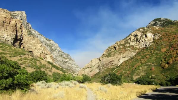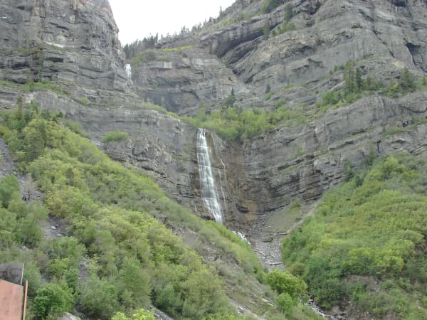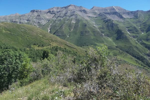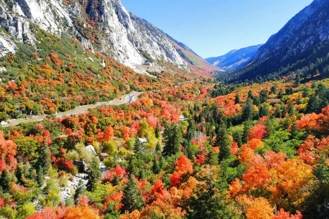

Of the many trails in Big and Little Cottonwood canyons, four keep coming up when Utah Valley parents ask where to take kids for a day of real mountains: Silver Lake, Donut Falls, Lake Blanche and Cecret Lake. They are not equally suited to families. One is a flat boardwalk loop a toddler can manage, two are short hikes with a catch, and one is a hard climb that only older, practiced kids should try.
This page sorts them by who they suit. Our summer guide to the Cottonwood Canyons from Provo covers the canyons as a whole: the roads, the roadside parking rules, the gondola debate and what else is up there.
The four, side by side
| Hike | Round trip | Climbing | Best for |
|---|---|---|---|
| Silver Lake loop | 0.9 mi | about 29 ft | strollers, toddlers, grandparents |
| Donut Falls | 1.4 mi (upper lot) or 3.3 mi | 240 to 460 ft | ages 5 and up with a steady adult |
| Cecret Lake | 1.8 mi | about 460 ft | school-age kids, if the road is open |
| Lake Blanche | 6.7 mi | about 2,700 ft | fit kids 10 and up who hike often |
Distances and climbs are from AllTrails. The age bands are our judgment from those figures and the terrain described below, not an official rating.
The rule to settle before you leave the driveway
Both canyons are Salt Lake City protected watershed. Salt Lake City Public Utilities lists the rules, and the Cottonwood Canyons Foundation summarizes them for visitors:
- No dogs or other domestic animals, and that includes a dog left in the car. Exceptions are narrow: dogs registered to canyon residents, ADA service animals and sanctioned search-and-rescue dogs.
- No swimming or wading in any lake or stream.
- Violations are Class B misdemeanors, according to Salt Lake City's brochure on dogs and the watershed.
Families from Utah Valley trip over this because nothing at home works this way; Salt Lake City's own brochure lists American Fork Canyon among the places dogs are allowed. If the dog is coming, go to Mill Creek Canyon instead, or see our dog-friendly hikes near Provo.
Silver Lake: the one for everyone
0.9-mile loop · about 29 feet of change · Brighton, top of Big Cottonwood Canyon
The Silver Lake Nature Trail circles a lake at the top of the canyon, across the road from the Brighton Store, on a mix of graded natural surface and wooden boardwalk. AllTrails' accessibility notes describe the boardwalk as having edge barriers and typically being at least four feet wide, with grades mostly 3 percent or less and a few steeper bits that may need help. There are three van-accessible spaces in the paved lot. It is the most inclusive mountain walk in either canyon: a stroller, a wagon, a grandparent with a cane and a three-year-old can all do the loop together in under an hour.
Getting there. Big Cottonwood Canyon Road (from 7000 South and Wasatch Boulevard) about 14.2 miles up the canyon to the Silver Lake Visitor Center lot on the west side of the road. The trail starts behind the visitor center.
Facilities. In summer the visitor center, run with the Cottonwood Canyons Foundation, has water, restrooms and exhibits on the area's natural history.
Fee. Silver Lake is a Forest Service recreation fee area.
Altitude. The loop sits near 8,750 feet, about 4,200 feet higher than Provo (about 4,550 feet). The walking is easy; the air is thinner. Our guide to Provo's elevation explains what the jump feels like and why kids notice it.
If it is too easy. Trails climb from the same lot toward Twin Lakes and Lake Mary. AllTrails lists a 4.4-mile loop through Silver, Twin, Mary and Dog lakes with about 1,030 feet of climbing, rated moderate, a good second outing for kids who loved the boardwalk.
Donut Falls: short, popular, and wet at the end
1.4 miles from the upper lot, 3.3 miles from the lower one · Big Cottonwood Canyon
Donut Falls is the waterfall that drops through a hole in the rock, and it is famous enough that the parking is the hardest part of the day. The trail itself follows wide dirt tracks along Big Cottonwood Creek through spruce, aspen and wildflower clearings, with restrooms at the trailhead.
Which lot. AllTrails tracks two versions. From the smaller upper (summer) trailhead, it is 1.4 miles round trip with about 240 feet of climbing. That lot may be gated in winter, and then you park in the larger lot on Big Cottonwood Canyon Road and walk farther: 3.3 miles round trip, about 460 feet. Both are rated easy overall.
The catch. The last stretch gets you to the falls over wet, slick rock beside the creek. AllTrails' own trail notes advise avoiding scrambling near the falls for safety, and its reviewers single out tricky footing at the end. For young children, the sensible plan is to treat the viewpoint below the falls as the destination. Water-resistant shoes with good grip help everyone.
Fee. Donut Falls is a Forest Service recreation fee area.
Rules. It is in the watershed: no dogs, no wading in the pool under the falls.
Cecret Lake: big scenery for a short walk, on a short season
1.8 miles round trip · about 460 feet · Albion Basin, top of Little Cottonwood Canyon
Cecret Lake sits in Albion Basin above Alta, and AllTrails notes the trail starts around 9,000 feet beside Albion Basin Campground. It is short, but it climbs steadily over rocky ground to a lake near 9,875 feet, and that elevation is what tires children. It is rated moderate, not easy.
The road. You reach the trailhead on the Albion Basin Summer Road, which Alta Ski Area manages. Alta charges a $12 fee to drive it and says the road stays open to vehicles through November 1 unless weather makes it unsafe. As of this writing, Alta's page says the Summer Road is closed to vehicles for winter. Its opening each summer depends on snowmelt, so check Alta's Summer Road page before you plan.
The parking. Parking at the upper trailheads is extremely limited. AllTrails' trail notes recommend parking at the free Albion base area lot and hiking the Upper Albion Meadows Trail instead. That turns the outing into about 4.5 miles round trip with roughly 1,200 feet of climbing, which is a different day for small legs. Arrive early if you want the short version.
Rules. Little Cottonwood is protected watershed too: no dogs, no wading in the lake.
Lake Blanche: the hard one
6.7 miles round trip · about 2,700 feet · Big Cottonwood Canyon
Lake Blanche is the hike people put on their phone backgrounds, a lake below a sharp peak in the Twin Peaks Wilderness, with smaller Lake Florence and Lake Lillian nearby. AllTrails rates it hard: a consistent climb along the south fork of Mill B Creek and up through aspen to a lake near 8,900 feet.
For perspective, that is more climbing than most families do in a season of Utah Valley hikes. A child who has finished the Y Mountain trail comfortably, or Stewart Falls without complaint, is a candidate. A child who is new to hiking is not. Turning around partway is always an option; the trail is out-and-back.
Rules. It is designated Wilderness, so no bikes, drones or other mechanized equipment, and it is watershed, so no dogs and no wading. Restrooms are at the trailhead.
Fee. Lake Blanche's trailhead is not among the fee areas AllTrails lists for the canyon, but rules change; follow the signs at the lot.
Season. AllTrails lists June through October as the best months and specifically says it is not recommended in winter because of its proximity to avalanche terrain.
Planning the day from Utah Valley
Drive time. OpenStreetMap routing (OSRM) from Center Street and University Avenue in Provo, without traffic:
| Trailhead | Distance | Drive |
|---|---|---|
| Lake Blanche | 46 mi | about 59 min |
| Donut Falls (upper) | 52 mi | about 70 min |
| Cecret Lake | 47 mi | about 74 min |
| Silver Lake | 41 mi | about 75 min |
Those are best-case numbers. The canyon roads are winding and shared with cyclists, so allow 90 minutes or more with kids.
Pairing. Silver Lake and Donut Falls are both in Big Cottonwood and make a natural two-stop day for young families. Lake Blanche's trailhead is lower in the same canyon. Cecret Lake is in the other canyon, so combining it with a Big Cottonwood hike means driving back down to the valley and up again.
Passes. America the Beautiful passes are honored at Forest Service fee sites. Alta's Summer Road fee is separate.
Food and restrooms. Restrooms are at the Silver Lake visitor center in summer and at the Donut Falls and Lake Blanche trailheads. There is little food along the trails themselves, so pack lunch.
Bring: more water than you would in Utah Valley, layers (it is cooler at 8,000 to 10,000 feet), sun protection, and shoes with grip for Donut Falls.
In winter
It is late October as this is written, and the canyons are turning over to ski season. Three things change for families:
- The traction law. UDOT's stricter Class 3 traction rules apply in Big and Little Cottonwood when the canyon beacons are flashing: at least 5/32 inch of tread, and M+S or snow tires on all four wheels for AWD and 4WD vehicles, or three-peak-mountain-snowflake tires for two-wheel drive (chains or approved socks also qualify). Officers turn back vehicles that do not comply. Our winter tire guide explains the tire markings.
- Resort parking reservations. For the 2025-26 season, UDOT's canyon page listed Alta reservations on Fridays through Sundays and holidays, 8 a.m. to 1 p.m., and Brighton reservations before noon on weekends at $25 a day ($10 with four or more people). These affect the lots at the top of each canyon, including Brighton's. Check the 2026-27 rules before a winter visit to Silver Lake. Our Alta guide covers the Little Cottonwood side.
- Which hikes still work. AllTrails notes that winter access to the Silver Lake trail is managed by the Solitude Nordic Center. Donut Falls stays reachable from the lower lot on Big Cottonwood Canyon Road, but AllTrails warns of snow and ice on the trail in winter and early spring, so bring traction. Lake Blanche is not recommended in winter. The Albion Basin road is closed, so Cecret Lake is out until summer.
If the Cottonwoods are too far today
Utah County has its own short family hikes with mountain scenery and dogs allowed. Our hikes for kids under 8 and waterfalls of Utah Valley pages are the closer alternatives, and Tibble Fork Reservoir is an alpine lake in American Fork Canyon, outside the Salt Lake watershed.
Related Guides
- Big and Little Cottonwood Canyons from Provo: the summer edition
- Alta from Utah Valley
- Things to do in Sandy
- Things to do in Cottonwood Heights, Holladay and Millcreek
- Hikes for kids under 8 near Provo
- Dog-friendly hikes near Provo
Frequently Asked Questions
What is the easiest Cottonwood Canyon hike for little kids?
How long is the Donut Falls hike?
Can kids hike to Lake Blanche?
Can I bring my dog to Silver Lake, Donut Falls, Lake Blanche or Cecret Lake?
Can kids swim or wade in the lakes?
Is the road to Cecret Lake open now?
Do you pay to park at these trailheads?
How long is the drive from Provo?
Sources
The facts in this guide were checked against these sources. Hours, fees and rules change, so confirm anything time-sensitive with the source before you go. How we make Provo.com.
- Watershed rules, Salt Lake City Public Utilities. Checked October 20, 2026.
- Dogs and the Wasatch Front Watershed (brochure, 2023), Salt Lake City Public Utilities. Checked October 20, 2026.
- USDA Forest Service, Uinta-Wasatch-Cache NF: Passes, USDA Forest Service, Uinta-Wasatch-Cache NF. Checked October 20, 2026.
- UDOT Traction Law, UDOT Cottonwood Canyons. Checked October 20, 2026.
- Cottonwood Canyons Ski Resorts (parking reservations), UDOT Cottonwood Canyons. Checked October 20, 2026.
- Cottonwood Canyons Foundation: Watershed, Cottonwood Canyons Foundation. Checked October 20, 2026.
- Alta Ski Area: Summer Road, Alta Ski Area. Checked October 20, 2026.
- Silver Lake Nature Trail, AllTrails. Checked October 20, 2026.
- Silver Lake, Twin Lake, Lake Mary and Dog Lake Loop, AllTrails. Checked October 20, 2026.
- Donut Falls Trail, AllTrails. Checked October 20, 2026.
- Donut Falls (upper trailhead), AllTrails. Checked October 20, 2026.
- Lake Blanche Trail, AllTrails. Checked October 20, 2026.
- Cecret Lake Trail, AllTrails. Checked October 20, 2026.
- Cecret Lake via Upper Albion Meadows, AllTrails. Checked October 20, 2026.
- OSRM routing API (OpenStreetMap data), drive times from Center St & University Ave, Provo, Project OSRM / OpenStreetMap contributors. Checked October 20, 2026.