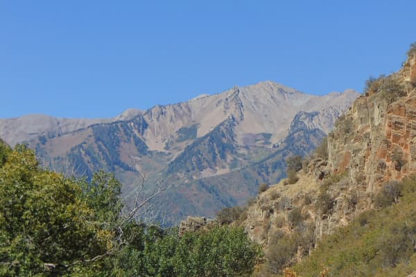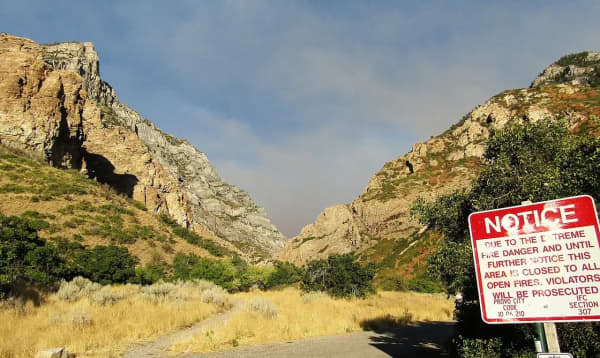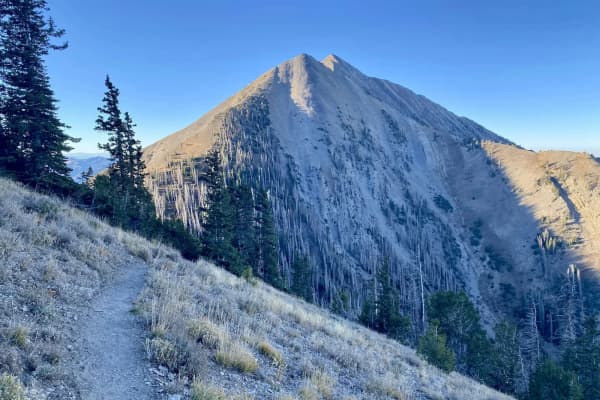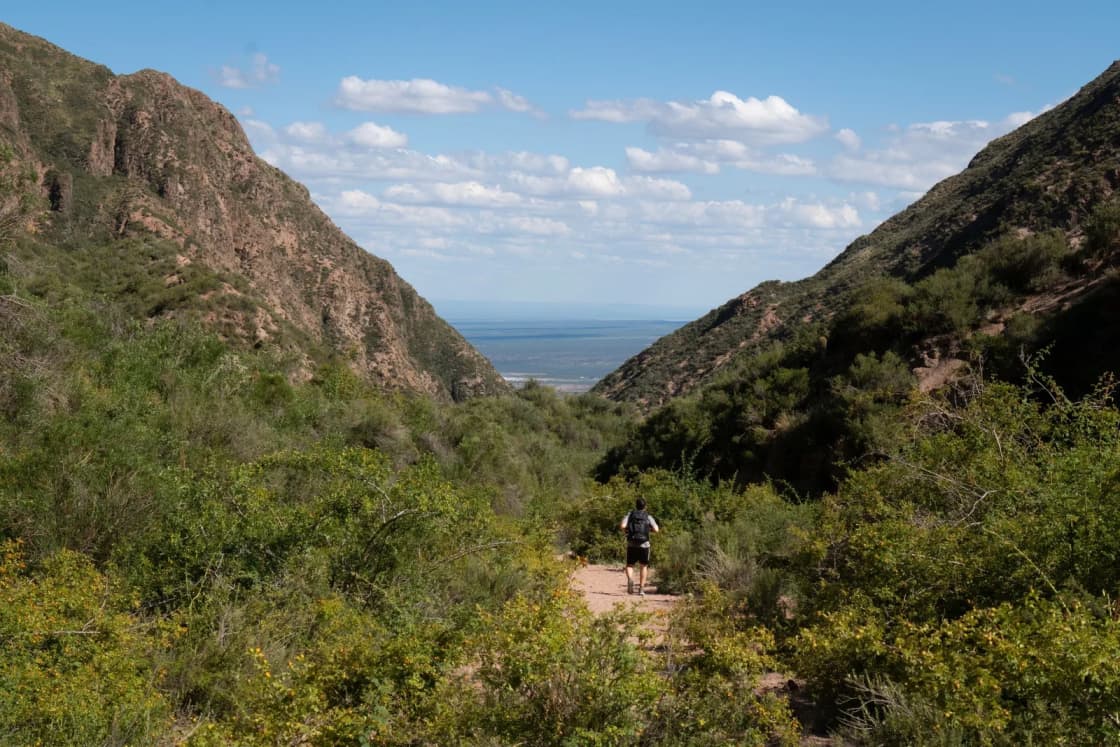
Grove Creek Canyon is the steep, narrow canyon directly above Pleasant Grove, one canyon north of Battle Creek Falls. Its trail starts at a paved lot at the top of Grove Creek Drive and climbs fast, past views over Utah Lake, to two waterfalls. Past the falls, a longer, harder route continues to Grove Creek Spring.
This guide uses AllTrails' route data, the Deseret News' trail description, Utah Mountain Biking's trailhead notes and the Forest Service, checked Nov. 18, 2026. Distances differ by route, so pick yours below.
At a glance
| Route | Round trip | Elevation gain | Rating |
|---|---|---|---|
| Grove Creek Trail (AllTrails) | 1.8 miles | 646 feet | Moderate |
| Trailhead to the upper waterfall (Deseret News) | About 4.25 miles | 1,520 feet | Difficult |
| Grove Creek Spring and Indian Campground (AllTrails) | 6.8 miles | About 2,611 feet | Hard |
Getting there
From I-15, take the American Fork Canyon exit (State Route 92) east, then State Route 146 south into Pleasant Grove. Turn east on 500 North, which becomes Grove Creek Drive, and follow it to the end. Utah Mountain Biking puts the paved trailhead lot at about 5,150 feet. There are restrooms at the trailhead.
The trail climbs into the Uinta-Wasatch-Cache National Forest. A Forest Service project listing notes an irrigation pipeline at the trailhead.
The trail
The Deseret News described the climb in stages:
- 0.3 mile: stay left at the first split; the trail climbs into scrub oak near the creek.
- 0.6 mile: the trail switchbacks away from the creek and opens to views of Utah Valley and Utah Lake.
- About 1.2 miles: the trail runs along the mountainside. It's safe but needs careful footing.
- Past a scree field and a spring: the first waterfall comes into view below the trail.
- About 2 miles: the upper waterfall, with a bench overlooking Grove Creek Canyon. It makes a natural turnaround.
Above the falls, AllTrails' description says the route to the spring becomes more of a bushwhack, for experienced hikers with a downloaded map.
Plan around the sun
The lower trail has little shade. The Deseret News and recent AllTrails reviews both say to start early and carry plenty of water, and the Deseret News didn't recommend the full hike for families with small children. AllTrails' short route is the better family option: about 1.8 miles round trip.
AllTrails lists the best months as March through September for the short route and through October for the long one.
Bikes and connecting trails
Mountain bikers use the same lot. Utah Mountain Biking says riders can reach the Bonneville Shoreline Trail from the trailhead, by a steep singletrack at the northeast corner of the lot or by turning left about 100 feet up the Grove Creek trail, and that the climb to the Mahogany Mountain trail gains almost 600 feet in about a mile. See our Bonneville Shoreline Trail guide.
The Fourth of July flag
Each Fourth of July, Pleasant Grove's giant American flag is unfurled across the mouth of Grove Creek Canyon, with a ceremony at the trailhead that morning. Our things to do in Pleasant Grove page covers the event.
Related guides
- Battle Creek Falls
- Pleasant Grove parks guide
- Things to do in Pleasant Grove
- Bonneville Shoreline Trail in Utah County
Frequently Asked Questions
Where is the Grove Creek trailhead?
How long is the Grove Creek trail?
Is the Grove Creek hike hard?
Are there waterfalls on the Grove Creek trail?
Can you bring dogs on the Grove Creek trail?
Can you mountain bike Grove Creek?
When is the best time to hike Grove Creek?
Is Grove Creek where the giant flag hangs on the Fourth of July?
Sources
The facts in this guide were checked against these sources. Hours, fees and rules change, so confirm anything time-sensitive with the source before you go. How we make Provo.com.
- Pleasant Grove Pipeline-Grove Creek Project, U.S. Forest Service, Uinta-Wasatch-Cache National Forest. Checked November 18, 2026.
- Grove Creek Trail, AllTrails. Checked November 18, 2026.
- Grove Creek Spring and Indian Campground Trail, AllTrails. Checked November 18, 2026.
- Mahogany Mountain (Grove Creek trailhead), Utah Mountain Biking. Checked November 18, 2026.
- Hike of the week: Grove Creek Trail, Utah County (July 7, 2010), Deseret News. Checked November 18, 2026.