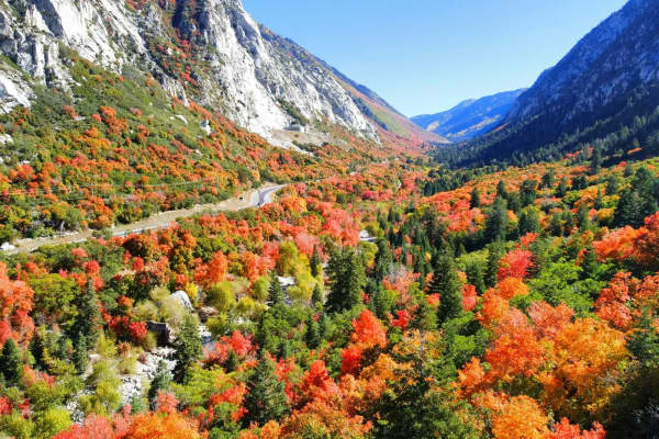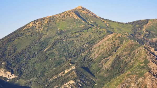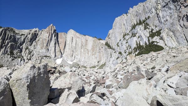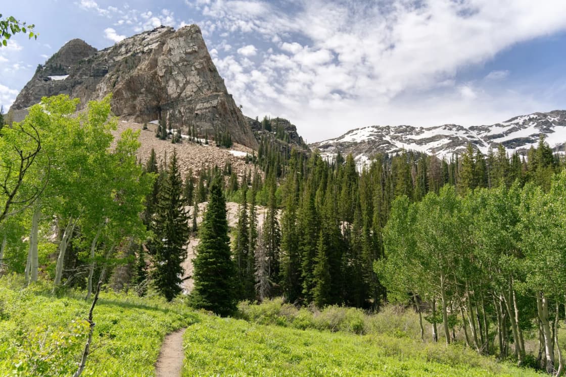
Silver Lake Flat Reservoir sits high in American Fork Canyon, past Tibble Fork, at the edge of the Lone Peak Wilderness. From its north end, the Silver Lake Trail climbs through pine and aspen to Silver Lake, a high alpine lake ringed by peaks. The season is short: the road up closes at the end of November.
This guide uses the Forest Service's Silver Lake Flat page, AllTrails and the Trail Run Project, and the Utah County Sheriff's canyon road list as reported by the Daily Herald, checked Nov. 18, 2026. For the rest of the canyon, see our American Fork Canyon guide.
At a glance
| Trailhead | North end of Silver Lake Flat Reservoir |
| Round trip | 4.4 miles (AllTrails) |
| Elevation gain | About 1,417 feet |
| High point | About 8,964 feet (Trail Run Project) |
| Rating | Moderate |
| Fee | $10 per vehicle for 3 days |
| Road season | Closes Nov. 30 |
Getting there
The Forest Service directions: from the canyon, drive about 5 miles up State Route 92 (the Alpine Loop road), then 2.5 miles on State Route 144, turn onto the Granite Flat Campground road, then onto Forest Road 008, Silver Lake Flat Road. The reservoir is 2.5 miles up that road.
- The Forest Service recommends four-wheel drive, and trailers aren't allowed on the road.
- Park only in designated areas, and don't block gates or emergency access.
Without the road: the Silver Lake Flat Connector Trail starts at the Horse Transfer trailhead, about half a mile past Tibble Fork Reservoir, which has a large lot and restrooms. It climbs to the road near the dam. AllTrails lists it at 4.6 miles round trip with about 1,154 feet of gain, on top of the Silver Lake hike. See our Tibble Fork Reservoir guide.
Fees
American Fork Canyon is a fee area. The Forest Service lists:
| Pass | Price |
|---|---|
| 3 days | $10 per vehicle |
| 7 days | $20 |
| Season | $60 |
Buy a digital pass online, or pay cash or check on site. America the Beautiful and Uinta-Wasatch-Cache passes are honored. Display the pass in your vehicle.
The hike
The trail starts at the parking lot at the north end of Silver Lake Flat. The Trail Run Project describes it running through pine and aspen, crossing the small stream that drains the lake, and climbing the north side of the valley past a small dam with beaver ponds, to a lake ringed by high peaks including White Baldy. It puts the one-way distance at 2.3 miles, from about 7,550 feet to about 8,964 feet.
AllTrails' version, the Silver Lake Trail, is 4.4 miles round trip with about 1,417 feet of gain, rated moderate, and lists waterfalls and wildflowers along the way. Recent AllTrails reviewers on the connector route advise starting early and wearing waterproof shoes for muddy stretches.
AllTrails also lists a harder hike to Silver Glance Lake in the Lone Peak Wilderness, at 5.9 miles round trip with about 2,332 feet of gain, rated hard.
Rules
From the Forest Service:
- No fires within a quarter mile of the reservoir, and check the posted fire restrictions before any trip. Our fire restrictions guide explains how they work.
- No public access to the spillway.
- Dogs on a leash in developed sites.
- No motorized vehicles in the Lone Peak Wilderness.
The reservoir also allows fishing, and the Forest Service lists hunting, horseback riding, snowshoeing and cross-country skiing in the area.
When to go
The road season is the window. The Forest Service lists the site as closing Nov. 30, and the sheriff's office includes the Silver Lake Flat gates among those that close by the end of November, depending on snow; check with the Pleasant Grove Ranger District, (801) 785-3563, before a late-season trip. In winter, AllTrails lists the connector trail for snowshoeing and cross-country skiing.
Related guides
- American Fork Canyon
- Tibble Fork Reservoir
- Grove Creek Canyon trail
- Fire restrictions in Utah County
Frequently Asked Questions
How long is the Silver Lake hike in American Fork Canyon?
How do you get to Silver Lake Flat?
When does Silver Lake Flat Road close?
Do you have to pay to go to Silver Lake Flat?
Can you hike to Silver Lake Flat without driving the road?
Can you bring dogs to Silver Lake?
Can you have a campfire at Silver Lake Flat?
Is Silver Lake in a wilderness area?
Sources
The facts in this guide were checked against these sources. Hours, fees and rules change, so confirm anything time-sensitive with the source before you go. How we make Provo.com.
- Silver Lake Flat Trailhead/Reservoir, U.S. Forest Service, Uinta-Wasatch-Cache National Forest. Checked November 18, 2026.
- Silver Lake Trail, AllTrails. Checked November 18, 2026.
- Silver Flat Lake Trail (connector), AllTrails. Checked November 18, 2026.
- Silver Lake Trail, Trail Run Project. Checked November 18, 2026.
- Seasonal canyon roads begin closing in Utah County: what to know (Nov. 18, 2025), Daily Herald. Checked November 18, 2026.