
Corner Canyon is in Draper, in Salt Lake County, but for a lot of Utah County riders it is the home trail system: the Coyote Hollow trailhead is 37 minutes from downtown Provo and 16 minutes from Lehi by OpenStreetMap routing. Draper says its trails add up to more than 150 miles across about 5,000 acres of open space, the most of any city on the Wasatch Front, and Corner Canyon is the heart of it.
What makes it different from riding at home is that parts of it are one-way. A few trails are climbs only, a few are descents only, and the descents are bikes only. Knowing which is which is the first thing to learn here. Our general mountain biking guide covers the Provo and Orem trails; this page is only Corner Canyon.
Getting there from Utah Valley
Two trailheads matter most for a first visit. Times are OpenStreetMap routing (OSRM) from Center Street and University Avenue in Provo, without traffic.
| Trailhead | Where | From Provo |
|---|---|---|
| Coyote Hollow | Beside the Draper Utah Temple (temple address 14065 Canyon Vista Lane), at the bottom of Clark's | 28 mi, 37 min |
| Potato Hill | West side, on the lower trails | 27 mi, 35 min |
| Peak View | On Traverse Ridge at the top of the system, where Rush starts | 25 mi, 40 min |
From Orem, Coyote Hollow is about 34 minutes; from Thanksgiving Point in Lehi, about 16. Peak View sits on Traverse Ridge Road, so you can drive to the top of the system and start with the descents if someone can shuttle you.
The Equestrian Center trailhead at the bottom of the canyon has bathrooms and drinking fountains, as does Peak View, according to MTB Project's route notes. One gate to know about: Draper says that since July 1, 2020, the gates at Orson Smith are closed at all times to reduce fire risk and keep the road open for fire crews.
The one-way trails
This is the part that catches visitors.
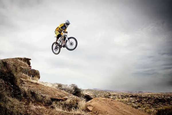
Rush (downhill only, bikes only). The Utah Mountain Biking guide describes Rush as a one-way descent from the Peak View trailhead on Traverse Ridge down to lower Corner Canyon, a flow trail of rollers and tabletops that drops about 1,150 vertical feet. It says plainly that dogs, horses and hikers are forbidden and that riders should never pedal back up it: oncoming riders are moving fast and not expecting anyone. AllTrails lists the classic loop, up Clark's and down Rush, at 4.5 miles with 807 feet of gain, topping out around 5,843 feet, and rates it moderate. The lower section continues as Limelight.
Jacob's Ladder downhill (downhill only, bikes only). MTB Project calls Jacob's Ladder the original Corner Canyon downhill and notes that the downhill section "is now directional! (bikes only, downhill)." It starts above Peak View, reached by the Peak View Trail and a steep doubletrack. MTB Project lists the route that strings it together with Rush among Corner Canyon's recommended rides.
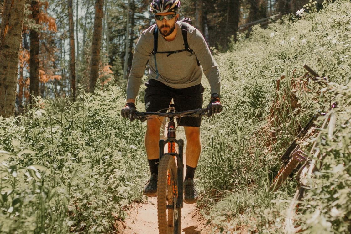
Clark's Trail (uphill only for bikes). The usual way up from Coyote Hollow. The Utah Mountain Biking guide says Clark's "has been converted into a one-way uphill-only climbing trail for bikers" and that hikers may go either way; it warns riders to ignore old ride plans that use Clark's as a descent. It describes the climb as about 1.4 miles to the top of Clark's and 1.6 to Peak View, averaging just under 10 percent, mostly shaded by oak and maple. AllTrails' Clark's entry measures 3.1 miles out and back with 715 feet of gain.
Signs at the junctions are the final word. If a sign and an app disagree, follow the sign.
Rides by ability
All figures are from AllTrails.
| Ride | Length and gain | Rating |
|---|---|---|
| Ghost Falls via Canyon Hollow and Rattler loop | 2.6 mi, 367 ft | Easy |
| Lower Corner Canyon Road (out and back) | 2.8 mi, 446 ft | Moderate |
| Canyon Hollow, Brock's and Clark's loop | 3.9 mi, 816 ft | Moderate |
| Clark's up, Rush down | 4.5 mi, 807 ft | Moderate |
| Corner Canyon Road, Canyon Hollow, Brock's Point and Clark's | 6.1 mi, 1,164 ft | Moderate |
| Bonneville Shoreline Trail, Draper section (out and back) | 6.6 mi, 951 ft | Moderate |
First visit. The Ghost Falls loop is short, rated easy and passes the seasonal waterfall that gives it its name. AllTrails notes the falls can shrink to a trickle or disappear depending on the season, and that parts of the trail hold snow and mud after wet weather.
Strong intermediate. Climb Clark's, descend Rush. Then do it again, or add the Canyon Hollow and Brock's climb for a second lap.
Advanced. The MTB Project "Jacob's & Rush" route links both downhills with climbs between them.
The Bonneville Shoreline. Draper's BST is the long, lower traverse across the foothills. The Utah Mountain Biking guide puts the Draper section at about 7 miles and the Sandy section at 3.3. It is also the line that decides where dogs may go. If you want to keep riding south into Utah County on the same bench, our Bonneville Shoreline Trail county guide explains which pieces connect.
The rules, from Draper City
E-bikes. "Only Class 1 eBikes are allowed on the trails in Corner Canyon." Under Utah Code 41-6a-102, a Class 1 electric bicycle is one whose motor helps only while you pedal and stops helping at 20 mph. Class 2 bikes, which can run on a throttle alone, and Class 3 bikes, which assist to 28 mph, do not qualify. Bikes that can be switched between classes count only when they are set to, and meet, Class 1.
Dogs. Not allowed anywhere in the Corner Canyon watershed, which includes everything above the Bonneville Shoreline Trail. Leashed dogs are allowed on the BST and the trails below it, from Hidden Valley Park in Sandy to the Potato Hill Trail, and on Potato Hill and the trails below it to the junction of Ann's Trail. Draper's off-leash options are the West Bluff test area at 1455 E. Deer Ridge Drive and the Dayland and Galena dog parks. Our Draper guide covers the dog rules for hikers too.
Not allowed in Corner Canyon and Draper open space: camping, campfires or open flames, dogs in the watershed, hunting, firearms, paintball and airsoft guns and archery, motorized vehicles of any kind (including motorized scooters, golf carts, ATVs, dirt bikes and remote-control cars), and smoking.
Yielding. Downhill yields to uphill, and bikes yield to everyone else in any direction. Call out before passing a horse.
Fall and winter
It is late October. The Utah Mountain Biking guide gives Clark's a riding season of May through October and Rush May through November, and it is blunt about mud: Clark's "will be easily damaged if ridden when muddy." AllTrails notes the same snow-and-mud problem on the Ghost Falls loop. After a storm, give the trails time to dry; if your tires are leaving ruts, turn around.
Draper posts trail news on its Trails and Open Space social accounts, linked from the city's parks page. Check them before a ride after a storm.
Making a day of it
- Bike shops. Our Provo bike shop guide lists where to get a tune-up or rent before you drive north.
- Food and family. The aquarium, the flight park and the rest of Draper are in our Draper guide, and our near-north guide adds Sandy and South Jordan.
- On foot. The same trailhead at Peak View is one way into the Lone Peak Wilderness; Draper names Jacob's Ladder as a start for the Lone Peak hike, which our Lone Peak guide covers. That is a hike, not a ride: our mountain biking guide explains why bikes stop at the wilderness boundary.
Trail figures are from AllTrails. Rules are quoted from Draper City's Rules and Trail Etiquette page as published in October 2026. Trail directions are from MTB Project and the Utah Mountain Biking guide; posted signs on the trail take precedence.
Frequently Asked Questions
How far is Corner Canyon from Provo?
Can I ride an e-bike in Corner Canyon?
Which Corner Canyon trails are downhill-only?
What is the best climb in Corner Canyon?
Is there a beginner ride in Corner Canyon?
Can I bring my dog mountain biking in Corner Canyon?
Does Corner Canyon cost anything?
Who has the right of way?
Sources
The facts in this guide were checked against these sources. Hours, fees and rules change, so confirm anything time-sensitive with the source before you go. How we make Provo.com.
- Rules & Trail Etiquette, Draper City. Checked October 20, 2026.
- Parks and Trails, Draper City. Checked October 20, 2026.
- Utah Code 41-6a-102, Definitions (electric assisted bicycle classes), Utah Legislature. Checked October 20, 2026.
- Jacob's & Rush: A Corner Canyon DH Classic, MTB Project. Checked October 20, 2026.
- Utah Mountain Biking (utahmountainbiking.com): Rush Trail, Utah Mountain Biking (utahmountainbiking.com). Checked October 20, 2026.
- Utah Mountain Biking (utahmountainbiking.com): Clark's Trail, Utah Mountain Biking (utahmountainbiking.com). Checked October 20, 2026.
- Corner Canyon Trail Overview, Utah Mountain Biking (utahmountainbiking.com). Checked October 20, 2026.
- Rush Downhill Mountain Bike Trail via Clark's Trail Loop, AllTrails. Checked October 20, 2026.
- Ghost Falls via Canyon Hollow and Rattler Loop, AllTrails. Checked October 20, 2026.
- AllTrails: Clark's Trail, AllTrails. Checked October 20, 2026.
- Lower Corner Canyon Road, AllTrails. Checked October 20, 2026.
- Canyon Hollow, Brock's, and Clark's Trail Loop, AllTrails. Checked October 20, 2026.
- Corner Canyon Road, Canyon Hollow, Brock's Point and Clarks Trail, AllTrails. Checked October 20, 2026.
- Bonneville Shoreline Draper Section Trail, AllTrails. Checked October 20, 2026.
- OSRM routing (OpenStreetMap data), Project OSRM. Checked October 20, 2026.