
There is a specific moment that happens to almost everyone who moves to Utah Valley. Someone gives you an address — 1200 North 900 East — and you write it down and stare at it, waiting for the street name to arrive. It does not arrive. That was the whole address.
Utah addresses are not names. They are coordinates. And once that clicks, the entire valley becomes legible in a way that a named-street city never quite does.
The system, in one paragraph
Every city has an origin point. Addresses are measured outward from it in two directions at once, counted in hundreds, one hundred per block. The first pair tells you the north–south position; the second pair tells you the east–west position.
So 1200 North 900 East means: twelve blocks north of the origin, nine blocks east of it. That is not a street name and a house number in the usual sense. It is a grid reference, and it will point you to a single location without any further information.
In Provo, the origin is where Center Street and University Avenue cross. Center Street is the east–west baseline; University Avenue is the north–south one. Every Provo address counts outward from that intersection. Look at a Provo address now and you can compute roughly where it sits before you look at any map.
Reading one out loud
Take 565 East 800 North.
The 800 North is the street the building sits on — eight blocks north of Center Street. The 565 East is the position along that street — a little over five and a half blocks east of University Avenue. So the house is on the north–south position of 800 North, at the east–west position of 565 East.
The convention trips people up because both halves look like street names and only one of them is. The larger, rounder number is usually the street; the other is the house's position along it. In practice, residents read both numbers together and simply know where the point is.
Here is the part that feels like a magic trick for the first month: you can navigate to an address you have never heard of, without a map, in a city you barely know. Someone says 1600 North 200 West and you already know it is well north and slightly west of downtown. No named-street city does that.
Every city has its own origin, and this is the trap
This is the one thing to take away if you take nothing else.
The grids are city-specific. Provo counts from Center and University. Orem counts from its own origin. So do Springville, Spanish Fork, Payson, American Fork and the rest. None of these origins coincide.
The consequence is that 800 North in Provo and 800 North in Orem are unrelated locations, several miles apart, both perfectly valid. Neither address looks wrong, because neither is wrong. There is nothing in the format to warn you.
This is how people end up at the correct coordinates in the incorrect city, and it happens constantly — to delivery drivers, to visitors, to residents who have lived here for years and were simply not told which city the address referred to.
Always carry the city with the address. In a named-street town you can usually get away without it, because street names are relatively distinctive. Here you cannot. Our guides to the Utah Valley cities and the individual Provo neighborhoods are worth a look if you are still working out which is which.
Why the blocks are so big
Utah's blocks are large, and its streets are wide, and both are inherited rather than designed for cars.
The settlement-era plat these towns were laid out on specified big square blocks and generously wide streets — wide enough, in the standard telling, for a wagon team to turn around in. Whatever the precise origin of that specification, the geometry stuck, and it is still the geometry of every older Utah Valley city today.
Two practical effects follow.
Distances are longer than they sound. A Utah block is meaningfully longer than a block in most American cities. "It is four blocks" can be well over half a mile. Newcomers underestimate walking distances here constantly, and then do it again the following week.
The streets are enormously wide. This is why downtown Provo can feel oddly spacious for a city of its size, and why so much of the valley's street-level activity happens on the sidewalk edges rather than across the road. If you are thinking about getting around without a car, bike commuting in Provo and the UVX bus guide both deal with the practical consequences.
Working one all the way through
Suppose someone gives you 1450 North 1200 East, Provo.
Start with the city, because the city selects the grid. Provo means the origin is Center Street and University Avenue.
1450 North puts the address fourteen and a half blocks north of Center Street. 1200 East puts it twelve blocks east of University Avenue.
Now, which of those is the street? The rounder number is usually the street the property fronts — so this is most likely a property on 1200 East, positioned at the 1450 North line. But the honest answer is that in a coordinate system it barely matters: the two numbers together identify one point, and you can find it from either direction.
What you now know without a map: it is well north of downtown, well east of the main north–south baseline, and therefore up toward the bench where the ground starts to rise. In Provo, high east numbers mean elevation, because the mountain is east. That is a piece of local inference the numbers give you for free.
"Blocks" as a unit of conversation
Utah residents use "block" as a distance measure in ordinary speech, and it means something more precise here than elsewhere.
Because addresses count a hundred to a block, "three blocks up" and "300 more" are the same instruction. People switch between the two mid-sentence without noticing. A newcomer hearing "it is about 600 north of you" is being given a distance, not an address.
The corollary is the one that catches people on foot: since a Utah block is long, six blocks is a serious walk rather than a stroll. If someone tells you somewhere is "just a few blocks," check the numbers before deciding not to drive. Our bike commuting guide covers the distances honestly, and the UVX bus guide covers the route that removes the question along the main corridor.
The county, the mail and the emergency
Three places where the grid stops being a curiosity and starts mattering.
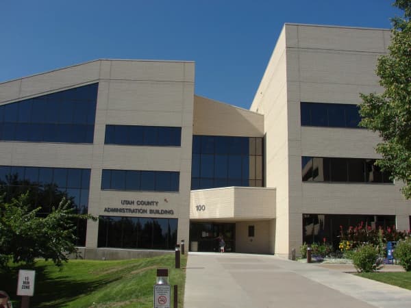
Unincorporated county areas carry their own addressing, which may be tied to a county-wide grid rather than to any city's. If you are looking at property outside a municipal boundary, do not assume the numbers behave the way the nearest city's do.
Mail and deliveries depend on the city being right, for the reasons set out above. When an address matters, write the city and the ZIP. A ZIP code is often the fastest way to disambiguate two identical-looking coordinate addresses in neighboring cities.
Emergency services. This is the serious one. If you ever have to give an address to a dispatcher, give the city first, then the numbers, then any cross street you can see. Dispatchers in this valley handle the ambiguity constantly and will ask — but the seconds are better spent on the situation than on establishing which 800 North you mean.
Where the grid stops
The system is not universal within a city, and knowing where it breaks down saves confusion.
The historic core often carries named streets that predate the hardening of the numbering, or that were named for people and institutions and never converted.
Modern subdivisions frequently abandon the grid entirely. Curving streets, cul-de-sacs and loops do not fit a rectilinear coordinate system, so developers name them instead. This is why the newest parts of a Utah Valley city can feel like they belong to a completely different place — because in address terms, they do.
The benches and canyons follow terrain, not geometry. Roads that climb the mountain front cannot run straight, and they carry names accordingly.
Highways and frontage roads carry route numbers and names of their own.
So the working rule is: the grid governs the flat, older, platted parts of a city, and names take over in the hills, in the new subdivisions and along the highways.
Why the system exists at all
The grid is not an accident of surveying convenience. It came out of a specific approach to town planning that the region's settlers brought with them and applied with unusual consistency.
The settlement pattern laid towns out on a square grid with large square blocks, wide streets, and a central point from which everything else was measured. Public and religious buildings occupied the center; residential lots were laid out around it, large enough to grow food on. The plan was applied town after town across the territory, which is why the pattern repeats across the whole region rather than appearing in one city as a local quirk.
Two consequences of that origin are still doing work today.
The city is legible from its own addresses. If everything counts from one point, then any address states its position relative to that point. No street-name knowledge is required, which is exactly what you want in a place where new towns were being founded faster than anyone could learn them.
The lots and streets are oversized for their era's traffic and undersized for nothing. Wide streets that were laid out for wagon teams turn out to accommodate cars, bike lanes, turning lanes and street trees without needing to take anything from anyone. Utah Valley's older streets absorbed the twentieth century better than many older American cities did, and the reason is that they were overbuilt from the start.
Our Provo history guide covers the settlement itself, and the historic districts guide covers what got built on the resulting lots.
Diagonal streets, and the exceptions that prove the rule
Every so often the grid is interrupted, and the interruptions are almost always explicable.
Railroads cut diagonally across the valley because they follow gradient rather than geometry, and the streets alongside them follow the rail line rather than the grid.
Watercourses do the same. Rivers, creeks and canals predate the plat and the streets bend around them.
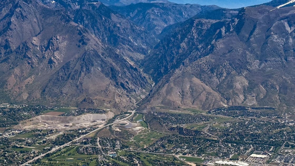
The bench is where the grid gives out entirely. Once the ground starts to rise toward the mountains, roads must follow contours, and a rectilinear system stops being buildable.
Highways cross the whole arrangement on their own logic.
When you find yourself on a street that does not behave, one of those four is usually the reason, and identifying which one is a surprisingly reliable way to work out where you are.
The things that go wrong
Software. Address-matching systems do not always parse a direction-number-direction pattern cleanly, and the same address can be written several legitimate ways. When it matters, include the city and ZIP, and confirm the pin on a map rather than trusting the first result.
Deliveries. The city ambiguity is the usual culprit. If a delivery goes astray, the first thing to check is whether the correct city was attached to the address.
Verbal directions. Give the numbers. To a resident, "900 East and 1200 North" is complete. Landmarks are less useful here than in a named-street city, which is precisely backwards from what most newcomers assume, and it is worth deliberately retraining the habit.
Half-blocks and infill. Older cities have addresses that fall between the hundreds. They are legitimate. They are simply positions between two block lines.
Teaching it to someone else
The fastest way to confirm you have understood the grid is to explain it to a new arrival, and there is an order that works.
Start with the claim, not the mechanics. "Addresses here are coordinates, not names." People need the frame before the detail, because until they have it they are still listening for a street name.
Give them the origin. In Provo, Center and University. One sentence, and suddenly every address they have seen this week means something.
Do one worked example out loud. Take an address they already know — their own — and walk it. The click usually happens here.
Warn them about the city. This is the expensive one, and it is worth saying explicitly rather than letting them discover it through a missed delivery or a wasted drive.
Tell them the blocks are long. Otherwise they will accept a "four blocks" instruction and walk a mile and a half in August.
That is the whole briefing, and it takes about ninety seconds. It is one of the more useful things you can do for someone in their first week here — considerably more useful, in practice, than a restaurant recommendation.
The month it takes
Almost everyone goes through the same arc.
For the first week or two the addresses look like noise, and you type every one into a phone. Somewhere in the second month you catch yourself knowing roughly where an address is before you have looked it up. And at some point after that you find yourself giving directions in pure coordinates to someone who has just arrived, and watching them write the numbers down and wait for the street name.
That is the moment you have become a local. It is a strange system, it is deeply logical, and it is one of the few things about this valley that has to be learned rather than absorbed.
If you are still in the early weeks of it, our moving to Provo guide covers the rest of the settling-in list, and the newcomer guide collects the things people wish they had known on day one.
One last quirk
Ask a long-time resident for a landmark and you will often get a number back, because the number is the landmark. "It is on 800 North" locates a business as precisely as a name would, and more usefully, because it also tells you how to get there.
That is the whole system in one habit. In most places an address is a label you look up. Here it is an instruction you can follow.
Related Guides
- Moving to Provo — the full arrival checklist
- Provo Neighborhoods — where the grid coordinates land
- Best Things to Do in Utah Valley — why the city attached to an address matters
- The UVX Bus Guide — getting around without decoding anything
- Bike Commuting in Provo — where those wide streets help and where they do not
- Provo History — how the valley was laid out in the first place
Frequently Asked Questions
What does an address like 1200 North 900 East mean?
Where is the center of the grid?
So does 800 North mean the same place in Provo and Orem?
Why are the blocks so big?
What about streets that have actual names?
How do I give directions to somebody using this?
Why does my GPS or a delivery driver get it wrong?
Is this system unique to Utah?
Sources
The facts in this guide were checked against these sources. Hours, fees and rules change, so confirm anything time-sensitive with the source before you go. How we make Provo.com.
- Utah Address System Quadrants, Utah Geospatial Resource Center (UGRC). Checked October 12, 2026.
- Plat of the City of Zion, circa Early June–25 June 1833, The Joseph Smith Papers (The Church of Jesus Christ of Latter-day Saints). Checked October 12, 2026.