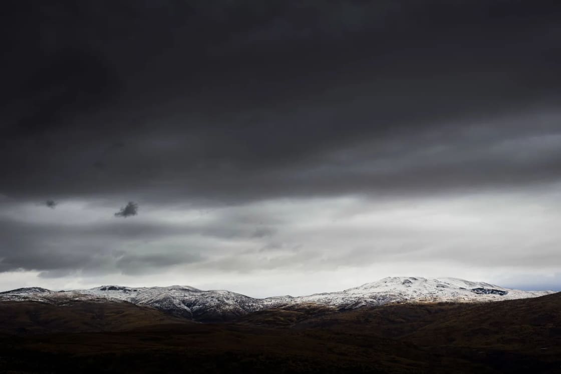
The National Weather Service in Salt Lake City issued a Winter Weather Advisory at 10:38 p.m. Wednesday, Nov. 18, for the Wasatch Mountains, calling for 10 to 20 inches of snow from 11 a.m. Thursday through 11 a.m. Saturday, Nov. 21. Provo and the rest of Utah Valley are not in the advisory, but the valley gets its own share of the storm: rain and snow showers Thursday, a wet Thursday night and Friday, and the best chance for the season's first light valley snow Friday night into Saturday morning.
This is the second of the two storms we described on Monday in our look at the week's weather. What has changed since then is the advisory itself and a more aggressive mountain snow forecast. The figures below come from the Weather Service alerts, the Provo point forecast updated just before midnight Wednesday and the forecast discussion issued at 10:25 p.m. Wednesday.
| Advisory zone | Snow expected | In effect |
|---|---|---|
| Wasatch Mountains (south of I-80 and I-80 north) | 10 to 20 inches, locally more in the upper Cottonwoods | 11 a.m. Thursday to 11 a.m. Saturday |
| Western Uinta Mountains | 5 to 10 inches | 11 a.m. Thursday to 11 a.m. Saturday |
| Wasatch Back (Park City, Ogden Valley, Heber) | 4 to 8 inches, less near Heber City | 11 a.m. Thursday to 5 a.m. Saturday |
| Southern Mountains | 3 to 7 inches above 6,500 feet, up to 10 near Brian Head and the Tushars | 11 a.m. Thursday to 5 p.m. Friday |
What the advisory says
The Weather Service grouped three zones into one advisory: the Wasatch Mountains I-80 North, the Wasatch Mountains South of I-80 and the Western Uinta Mountains. The South of I-80 zone is the range that rises east of Utah Valley. The advisory reads simply: "Snow expected. Total snow accumulations between 10 and 20 inches for the Wasatch Mountains with locally higher totals across the upper Cottonwoods." For the Western Uintas, it calls for 5 to 10 inches.
Under impacts, it says "winter driving conditions are expected" and tells drivers to slow down and use caution. It points to UDOT Traffic for road conditions and to the office's winter page, weather.gov/slc/winter, for snowfall maps that show the official forecast alongside a low-end and a high-end amount. The high-end map is a useful check if you're deciding whether to make a canyon drive Friday.
A separate advisory for the Wasatch Back calls for 4 to 8 inches in the Park City area and the Ogden Valley, "with lower totals in the lower terrain near Heber City," from 11 a.m. Thursday to 5 a.m. Saturday. That one adds a specific warning: "The hazardous conditions could impact the Thursday evening and Friday morning commutes." Anyone who commutes between Utah Valley and Heber or Park City should read that as a signal to leave early or work from home Friday if they can.
The third Salt Lake City advisory, for the Southern Mountains, runs from 11 a.m. Thursday to 5 p.m. Friday. It calls for 3 to 7 inches above 6,500 feet, up to 10 inches in the Tushars and the Brian Head area, and wind gusts as high as 45 mph. The Grand Junction, Colo., office also has an advisory for the Eastern Uinta Mountains from 5 p.m. Thursday to 5 p.m. Friday, with 4 to 8 inches above 8,000 feet and gusts to 45 mph causing blowing and drifting snow.
Why the totals went up
In Wednesday night's forecast discussion, the Salt Lake City office described "a longer duration storm" coming through "in pieces" from early Thursday through Saturday morning. Moisture from an atmospheric river hitting California's central Sierra Nevada will weaken as it moves inland, but enough of it reaches Utah to spread precipitation across northern Utah by Thursday afternoon.
Forecasters said the latest model blend "has come in a bit more aggressive with precipitation and snow amounts, especially across the northern mountains." Even at the lower end of the model range, snow amounts top 20 inches locally along the Wasatch and the Bear River Range, and the higher end reaches 30 inches in spots. The office settled on "a general 1-2 feet" for the northern mountains and 4 to 10 inches for the southern Utah mountains.
The storm comes in two rounds. The first, Thursday and Thursday night, arrives on southwest winds with relatively mild air, so snow levels stay mostly off the valley floors, between 5,000 and 6,500 feet. Forecasters expect a lull for part of Friday before a trailing wave arrives Friday evening. That second round brings cooler air, turns the flow northwesterly and drops snow levels "down to or near the valley floors." The discussion says the central Wasatch Front and Mountains through the central Utah mountains and the adjacent I-15 corridor are favored from Friday evening through Saturday morning, which puts Utah County in line for that part of the storm.
The Provo forecast, period by period
The Weather Service lists its Provo forecast point at about 1,388 meters, or roughly 4,550 feet. Here is what its forecast, updated late Wednesday night, calls for:
- Thursday: Rain and snow after 8 a.m., cloudy, high near 48 with temperatures falling to around 44 in the afternoon. 80% chance of precipitation, with a tenth to a quarter inch of rain possible.
- Thursday night: Rain before 2 a.m., then rain and snow likely. Low around 31. 90% chance, with less than half an inch of new snow possible.
- Friday: Rain and snow likely, high near 42. 70% chance, with less than half an inch of new snow possible.
- Friday night: A chance of snow before 5 a.m., low around 26, 50% chance.
- Saturday: Mostly sunny, high near 42. Saturday night drops to around 24.
The forecast discussion's summary for the valleys is that "most lower valleys will see minor amounts, generally up to 1 inch with locally up to 3 inches on the benches." Its key messages say valley snow is possible "mainly Friday evening into Saturday morning." So the slushy Friday morning commute that looked possible on Monday now looks less likely in Provo, while Saturday morning is the better bet for a dusting on lawns and cars, especially on the east bench.
Mountain and canyon forecasts
The mountains east of Provo will see most of the snow. The point forecast near Sundance, at about 6,690 feet, shows snow after 8 a.m. Thursday with less than an inch by evening, then 3 to 7 inches possible Thursday night, 3 to 7 more on Friday and around an inch Friday night. That adds up to roughly 7 to 15 inches at that elevation before skies turn mostly sunny Saturday.
At the top of Provo Canyon, Heber City's forecast keeps it mixed for longer: rain and snow Thursday and Thursday night with around an inch of snow possible overnight, then snow Friday with less than an inch and a low around 18 Friday night. On US-6, the main route to Price and Moab, the Soldier Summit forecast shows 1 to 2 inches Thursday, 1 to 3 inches Thursday night, 1 to 2 inches Friday and a low around 15 Friday night.
What to know before you drive
Provo Canyon (US-189). UDOT's Timpanogos Area site lists US-189 as a Class 1 traction law area, which applies only to vehicles over 12,000 pounds gross vehicle weight rating, such as buses, semi-trucks and some RVs. The site also lists a closure for rock blasting on Thursday, Nov. 19, from 10 to 10:50 a.m., between Main Canyon Road in Wallsburg and the SR-113 intersection in Charleston. That stretch is past Deer Creek Reservoir on the Heber side, so if you're headed to Heber Valley Thursday morning, plan around that window.
Alpine Loop and American Fork Canyon (SR-92). UDOT's seasonal roads page lists SR-92 American Fork Canyon/Alpine Loop as "closed until spring 2027." The road was gated for winter on Nov. 2, as we reported in our story on the Alpine Loop winter closure. Sundance stays reachable from Provo Canyon on the lower part of SR-92. UDOT's Timpanogos site lists SR-92 as a Class 2 area, where the rules apply to all vehicles: when the law is on, four-wheel and all-wheel-drive vehicles need M+S or three-peak mountain snowflake (3PMSF) tires on all wheels, and two-wheel-drive vehicles need 3PMSF tires on all wheels or chains or snow socks on at least two drive wheels.
How the traction law turns on. UDOT says it puts the restrictions into effect when it determines that adverse weather warrants them, and that for most areas the decision is based on current road conditions, not the forecast. It notifies the Highway Patrol and the public through electronic signs. Chains and snow socks don't need to go on until the road calls for them, and UDOT notes that running them on dry pavement can damage both the vehicle and the road. Drivers whose vehicles don't comply while the rules are in effect can be cited. UDOT's new online quiz, which we covered in our story on the traction tool, tells you in a few minutes whether your car and tires meet the rules, and our traction law explainer goes through which tires count.
I-15 and the valley. UDOT Traffic showed no road weather alerts when we checked Thursday morning, but that will change as the storm moves in. Expect wet roads Thursday and Friday and watch for slick bridges and overpasses once temperatures fall below freezing Friday night.
Before any trip, check udottraffic.utah.gov or the UDOT Traffic app. Our guide to Provo Canyon in winter covers the canyon's year-round routes and what's open, and our page on where to check road conditions lists UDOT's tools in one place.
Ski season context
The storm lands as Utah's resorts begin to open. Solitude's website says it "opens for the season on Thursday, November 19," and Sundance's website lists its ski season opening day as Friday, Dec. 4, 2026. TownLift's opening-day roundup, last updated Wednesday, lists Brian Head as already open, Alta for Nov. 25 and Snowbird and Snowbasin for Nov. 27, all conditions permitting. A foot or more of new snow in the Wasatch should help those plans, but resort dates can move, so check each resort before you drive up. Our Sundance Resort guide covers lifts, parking and what to expect once it opens.
What to do Thursday through Saturday
- Thursday: Expect showers to start after 8 a.m. in Provo. If you're crossing into Heber Valley, avoid the 10 to 10:50 a.m. blasting closure on US-189.
- Thursday evening and Friday morning: The Wasatch Back advisory flags both commutes. If you drive Provo Canyon or Parleys, leave extra time and check UDOT Traffic first.
- Friday evening into Saturday morning: This is when snow levels drop toward the valley. Move cars off the street if you can so plows have room, and keep a scraper and warm layers in the car. Our guide to snow removal in Provo explains how the city plows.
- Saturday: Mostly sunny, with a low around 24 Saturday night. Disconnect hoses and protect outdoor faucets if you haven't already.
- Next week: The forecast discussion says another fast-moving trough looks likely to cross the area around Monday, with more model spread for the middle of the week.
For how this compares with a typical late fall, see our month-by-month Provo snowfall guide and our overview of Provo weather.
Where to get updates
The National Weather Service Salt Lake City office posts advisories, point forecasts and the forecast discussion at weather.gov/slc, and its snowfall maps at weather.gov/slc/winter. Enter your address on weather.gov for a point forecast, since the bench and the canyons can differ sharply from the valley floor. UDOT posts road conditions and traction alerts at udottraffic.utah.gov and in the UDOT Traffic app, and its Timpanogos Area site lists Provo Canyon closures.
Sources: National Weather Service Salt Lake City, active alerts for Utah (api.weather.gov/alerts/active?area=UT), Provo point forecast (api.weather.gov/gridpoints/SLC/105,151/forecast), Sundance, Heber City and Soldier Summit point forecasts, and the Area Forecast Discussion issued 10:25 p.m. Nov. 18 (forecast.weather.gov/product.php?site=SLC&issuedby=SLC&product=AFD); UDOT Timpanogos Area traction law page; UDOT seasonal road status; UDOT Traffic; Solitude Mountain Resort; Sundance Mountain Resort; TownLift.
Related on Provo.com
- Two storms head for Utah County: rain Tuesday, snow Thursday and Friday
- UDOT's new winter traction tool for Utah County drivers
- Provo Canyon in winter
- Utah winter driving: traction law and chains
- Alpine Loop closes for the winter
- Skiing near Provo
- Snow removal in Provo
Frequently Asked Questions
Is Utah County under a winter weather advisory?
How much snow will the mountains get?
Will it snow in Provo?
When is the worst time to drive?
Is Provo Canyon open?
Do I need snow tires for Provo Canyon?
Are any ski resorts open?
When does the storm end?
Sources
The facts in this guide were checked against these sources. Hours, fees and rules change, so confirm anything time-sensitive with the source before you go. How we make Provo.com.
- Active alerts for Utah: Winter Weather Advisories for the Wasatch Mountains, Western Uintas, Wasatch Back and Southern Mountains, issued 10:38 p.m. MST Nov. 18, 2026, National Weather Service. Checked November 19, 2026.
- Point forecast for Provo, Utah (gridpoint SLC 105,151), National Weather Service. Checked November 19, 2026.
- Point forecast near Sundance, Utah (gridpoint SLC 109,157), National Weather Service. Checked November 19, 2026.
- Point forecast for Heber City, Utah (gridpoint SLC 115,162), National Weather Service. Checked November 19, 2026.
- Point forecast for Soldier Summit, Utah (gridpoint SLC 124,134), National Weather Service. Checked November 19, 2026.
- Area Forecast Discussion, National Weather Service Salt Lake City, issued 10:25 p.m. MST Nov. 18, 2026, National Weather Service. Checked November 19, 2026.
- Traction Law: Timpanogos Area, Utah Department of Transportation. Checked November 19, 2026.
- UDOT Seasonal Road Status, UDOT Traffic. Checked November 19, 2026.
- Utah Department of Transportation: UDOT Traffic, Utah Department of Transportation. Checked November 19, 2026.
- Solitude Mountain Resort. Checked November 19, 2026.
- Sundance Mountain Resort. Checked November 19, 2026.
- When will Utah ski resorts open? Here's the 2026-27 schedule so far, TownLift. Checked November 19, 2026.