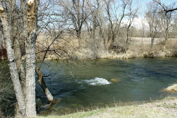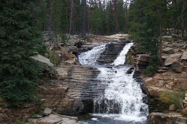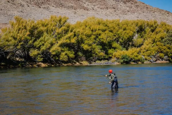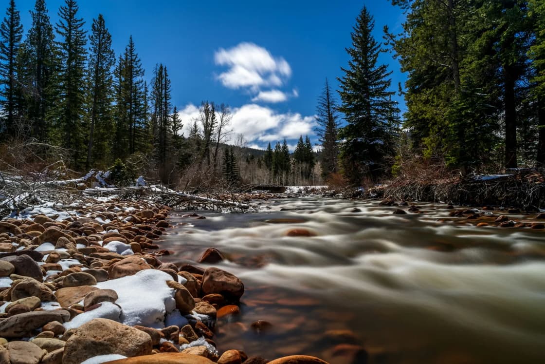

The Middle Provo is the stretch that made the Provo famous among fly anglers: 12 miles of tailwater below Jordanelle Dam, winding through the Heber Valley to Deer Creek Reservoir with Mount Timpanogos on the western skyline. It is also the most public stretch of the river, because a federal restoration project bought the banks and opened them. From downtown Provo, the River Road bridge is about 43 minutes up Provo Canyon by OpenStreetMap routing.
This is one of three pages on the river. The overview explains the three-river idea; the Lower Provo covers Provo Canyon and the Upper Provo covers the freestone water above Jordanelle.
Why this stretch is public
The answer is a construction project, and the Utah Reclamation Mitigation and Conservation Commission tells the story on its angler-access pages.
Photos from the 1930s show the Heber Valley under broad stands of cottonwoods and willows, in places more than 1,500 feet wide, fed by a river that wandered across its floodplain. In the 1940s and 1950s the river was channelized, straightened between levees to control flooding, and the corridor shrank to less than 200 feet wide in many places. Once Jordanelle Dam was built in 1995 and the flood risk dropped, the Commission, the Utah Division of Wildlife Resources and the Bureau of Reclamation went back in. Between 1999 and 2008 they built new meanders, side channels and wetland ponds and set the levees back. The work added about 2 miles of river length.
The project is called the Provo River Restoration Project, and it came with public access, which the Commission describes as partial mitigation for building and operating the Central Utah Project. Across all its rivers, the Commission says it has helped secure public angling access on more than 65 miles of Utah river. On the Middle Provo, that access is a 12-mile corridor reached from seven designated parking areas. Two of the seven were built for anglers with physical disabilities.
The DWR's stream access page names the "Provo River (middle section)" among the waters where public access was negotiated, which is what makes it different from most Utah rivers flowing over private land: inside the corridor you can wade without asking anyone.
The corridor's rules, which surprise people
Three rules come straight from the Commission:
- Enter and leave only at designated access points. Private land runs along the outside of the corridor. Once inside, you may move freely.
- Day use only. No overnight camping.
- A long list of things not allowed, to protect the riparian habitat: hunting, boating, ATVs, camping, horseback riding, bicycling, rollerblading, skateboarding, motorcycles and scooters.
Fishing, bird and wildlife watching, photography and cross-country skiing are allowed. The no-boating rule is the one visiting anglers from drift-boat rivers miss. If you want to fish from a raft, the Lower Provo is the river for that.
The regulations split at a bridge
The 2026 Utah Fishing Guidebook divides the Middle Provo in two:
| Stretch | Limit | Tackle |
|---|---|---|
| Legacy Bridge (Midway Lane, SR-113) upstream to Jordanelle Dam | 2 trout, under 15 inches | Artificial flies and lures only |
| Deer Creek Dam upstream to Legacy Bridge | Statewide: 4 trout | Bait allowed |
So the upper Middle Provo, the stretch closest to Jordanelle, is a restricted-tackle, mostly catch-and-release fishery, and the lower Middle Provo near Charleston and the reservoir is open to a worm and a family stringer. If you are fishing with kids who want to keep a fish, that difference decides where you park.
The statewide rules in the guidebook also count kokanee salmon toward the trout limit and close kokanee possession statewide from September 10 through November 30. That matters more at Deer Creek Reservoir than in the river, but it applies here too.
What you are fishing for
Visit Utah, the state tourism office, calls the Middle "wild brown trout territory." It says the popular stretches near the dam, nicknamed Lunker Lane and Rickety Bridge, hold nearly 3,000 fish per river mile, that brown trout average around 12 inches, and that fish over 18 inches are caught in every month of the year. We could not find the DWR survey behind those numbers, so read them as the state's promotional figures.
The same page lists the hatches: green drakes, pale morning duns, blue-winged olives, midges, caddis and stoneflies, depending on the time of year and the day's conditions. It names three approaches worth planning around: hunting bank feeders in the Bunny Farm meadows, fishing deep glides, and stripping streamers for big browns below River Road.
Where the pressure is, and where it isn't
Visit Utah says much of the river can be fished within 100 yards of a parking lot, which explains why the water close to the lots gets hammered. It also says pressure spreads out below River Road, with "lower pressured water, larger trout" and more solitude. The reaches near the dam, with their nicknames and their fish counts, draw the crowds.
That gives a simple plan for a first visit: fish the upper corridor if you want the densest fish and do not mind company, or start below River Road and walk if you want room.
Flows
Releases from Jordanelle Dam set the river's level, and they follow water demand. Two U.S. Geological Survey gauges sit on the Middle Provo:
- Provo River at River Road Bridge near Heber City, which read about 151 cubic feet per second on the evening of October 19, 2026.
- Provo River near Charleston, lower in the valley, which read about 164 cfs the same evening.
Both publish in real time. Check one before you drive; it takes seconds and tells you whether the water you remember is the water you will find.
Getting there from Utah Valley
Take US-189 up Provo Canyon, past Deer Creek Reservoir and into the Heber Valley. By OpenStreetMap routing without traffic, from Center Street and University Avenue:
| Destination | Distance | Time |
|---|---|---|
| Provo River near Charleston (gauge site) | 25 miles | 36 minutes |
| River Road bridge near Heber City | 32 miles | 43 minutes |
The drive passes the full length of the Lower Provo on the way, which is how many people end up fishing both in one day. If the rest of the family is not fishing, Heber Valley and Midway are right there, and Deer Creek and Jordanelle bracket the river at either end.
Fall and winter on the Middle
Now, in late October. The summer crowds are gone. Remember the statewide kokanee closure runs through November 30 if you also fish Deer Creek or Jordanelle on the same trip.
Winter. The corridor stays open, cross-country skiing is a listed use, and the tailwater keeps flowing below the dam. Expect snow on the access paths and icy banks.
Before you go
- A Utah fishing license, valid for 365 days from purchase. Our license guide explains the options.
- Know which side of Legacy Bridge you will fish, and pack accordingly.
- Park only in a designated access lot, and enter and exit the corridor there.
- Leave the bike, the raft and the dog's long run for somewhere else.
For the reservoirs on either side of this river, see every reservoir within two hours of Provo. For the rest of the county's fishing, start with fishing near Provo.
Regulations are from the 2026 Utah Fishing Guidebook. Access rules are from the Utah Reclamation Mitigation and Conservation Commission's Middle Provo angler-access page, checked in October 2026.
Frequently Asked Questions
Where exactly is the Middle Provo River?
What are the fishing rules on the Middle Provo in 2026?
Is the Middle Provo public?
Can you float, bike or camp on the Middle Provo?
How many fish are in the Middle Provo?
Where is the least crowded water?
What flies work on the Middle Provo?
Can you fish it in winter?
Sources
The facts in this guide were checked against these sources. Hours, fees and rules change, so confirm anything time-sensitive with the source before you go. How we make Provo.com.
- 2026 Utah Fishing Guidebook, Utah Division of Wildlife Resources. Checked October 20, 2026.
- Stream access to Utah's public waters, Utah Division of Wildlife Resources. Checked October 20, 2026.
- Middle Provo River Angler Access Map, Utah Reclamation Mitigation and Conservation Commission. Checked October 20, 2026.
- Angler Access Homepage, Utah Reclamation Mitigation and Conservation Commission. Checked October 20, 2026.
- Visit Utah (Utah Office of Tourism): Provo River, Visit Utah (Utah Office of Tourism). Checked October 20, 2026.
- USGS current water data for Utah (Provo River gauges), U.S. Geological Survey. Checked October 20, 2026.
- OSRM routing (OpenStreetMap data), Project OSRM. Checked October 20, 2026.