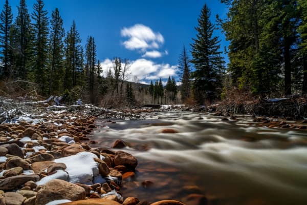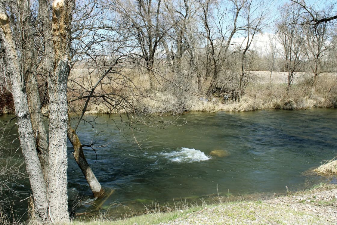

The Lower Provo is the stretch of river Provo residents can fish before work. It starts at Deer Creek Dam, runs down Provo Canyon beside US-189, and by the time it reaches the valley floor most of its water has been diverted into canals. The good trout water is the canyon. Bridal Veil Falls is 17 minutes from downtown Provo by OpenStreetMap routing; the dam is 25.
This page is one of three on the Provo River. The overview of all three sections explains why one river behaves like three, and the sister pages cover the Middle Provo in the Heber Valley and the Upper Provo above Jordanelle. Here we stay in the canyon.
The rules, read from the 2026 guidebook
The Utah Division of Wildlife Resources splits the Lower Provo into two regulated zones and leaves the middle under statewide rules. From the 2026 Utah Fishing Guidebook:
| Stretch | What the guidebook says |
|---|---|
| Olmstead Diversion Dam upstream to Deer Creek Dam | Limit 2 trout under 15 inches. Artificial flies and lures only. |
| I-15 upstream to Olmstead Diversion Dam | No water-specific rule listed, so statewide rules apply (4 trout). |
| Center Street bridge (Utah Lake State Park entrance) upstream to I-15 | All suckers released immediately. No walleye possession March 1 to 6 a.m. on the first Saturday of May. No limit on northern pike, and every pike caught must be killed. No nighttime bowfishing from the first Saturday of May to the second Saturday of July. |
Two more Provo-specific rules in the same book are easy to miss. Spearfishing is not permitted anywhere on the Provo River or the Provo River Delta, even for carp, which are fair game for spears almost everywhere else in the state. And the Provo below Deer Creek Dam is on the guidebook's list of waters where nongame fish other than common carp may not be taken, which protects the river's native sculpin and suckers.
The practical reading: if you fish the canyon, leave the bait at home and plan to release most of what you catch. A 15-inch brown is a legal fish to land and an illegal fish to keep.
What lives here
The DWR's Watershed Restoration Initiative paperwork for the river lists the species anglers target on the Lower Provo as brown trout, rainbow trout, mountain whitefish and Bonneville cutthroat trout. When biologists electrofished a stretch near the mouth of the canyon in October 2021, the DWR's project leader told KSL the sample held "lots of brown trout, lots of whitefish, lots of sculpin."
Visit Utah, the state's tourism office, describes the Lower as holding some of the biggest rainbows in the state, with trout feeding year-round on sow bugs and midge larvae, and lists sow bugs, annelids (worms), pale morning duns and baetis as the food base. That is the short answer to "what fly": small, drab and subsurface most of the year, with mayfly hatches in their season.
Where to get in
This is the part that has changed, and the DWR says so in writing. Its 2027 funding request for Lower Provo access improvements states that walk-in angler access "has historically been very open," but that land ownership changes and disputes over the agency's easements mean anglers "have had a harder time finding or feeling safe to fish" the river. Recent private purchases, the same document says, cost the public some historic access.
What exists now, from upstream to down:
Below Deer Creek Dam. The best-built entry on the river. The site sits directly below the dam, just south of US-189, beside the river bridge and a permanent restroom. The land is owned by the Bureau of Reclamation and run by Deer Creek State Park. A concrete boat ramp, stairs and handrails went in, the parking lot was paved and a new road was built down to the water, with the work completed in 2025. The DWR's last piece, an information kiosk, is in its 2027 plan. Downstream of this site the land belongs to a private campground resort, so respect the boundary.
Vivian Park and the Tunnels. The DWR reports improving take-out areas near the Vivian Park bridge and the Tunnels area along US-189 so floaters can leave the river without tearing up the banks. Vivian Park is a Utah County park with its own story; our Vivian Park and Nunns Park guide covers parking and facilities.
The trail corridor. The Provo River Parkway follows the river through the lower canyon, and the pullouts around Bridal Veil Falls put you a short walk from the water. Where a bank is posted, believe the sign.
The law that decides where you can stand
The DWR's stream access page is blunt: under Utah's 2010 law (H.B. 141), you may not walk on the private bed of a river where it crosses private property closed to trespass. You may float over that property and fish while floating, as long as the water is wide, deep and fast enough to float your vessel and you put in at a lawful access point, such as public land, a highway right of way or private land with written permission. Incidental touching of the bottom for safe passage is allowed. Planting your feet to fish a run is not.
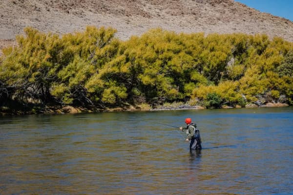
That is why the DWR says floating has become one of the main ways people fish the Lower Provo. A raft or pontoon launched at the Deer Creek ramp and pulled out at Vivian Park keeps you legal on water you could not wade.
The summer problem, in the DWR's own numbers
The canyon is also Utah County's favorite float. Our tubing and rafting guide covers that side. From the angler's side, the DWR's description of the launch below the dam is enough: on summer weekends, it says, the number of people launching and taking out runs "in the thousands and thousands."
Anglers are a big crowd too. The agency's last creel survey on the Lower Provo, in 2004, estimated about 28,000 angler hours per mile in a year and an economic value of about $294,000 per mile annually. KSL's 2021 report cited a state estimate of about 7,000 anglers per mile each year. However you count it, this is one of the most heavily fished miles of water in Utah, and the trout have seen every fly you own.
The workable plan in July and August is the obvious one: be on the water early, leave before the tubes arrive, or drive half an hour farther to the Middle Provo. From late September on, the floaters go home and the canyon gets quiet.
Flows: the river under the river
Two things control how much water you will find.
The first is Deer Creek Dam. Releases follow irrigation and municipal demand, not the weather that week. The Provo River Water Users Association, which operates the dam, posts daily Deer Creek data on its operations pages.
The second is what happens below the canyon. The Utah Reclamation Mitigation and Conservation Commission counts eight diversion structures between the Murdock Diversion Dam near the mouth of Provo Canyon and Utah Lake, and describes the river below the canyon as "heavily diverted." KSL reported in 2021 that parts of the lower river nearly dry up in summer heat. That year the DWR, Trout Unlimited and private donors bought rights to about 20 cubic feet per second for a stretch near the canyon mouth, at a cost of close to $1 million over a decade, to keep water in the channel.
You can see the effect yourself. On October 19, 2026, the U.S. Geological Survey gauge for the Provo River at Provo read about 75 cubic feet per second, less than half of what was passing the Charleston gauge in the Heber Valley upstream the same evening. Check that gauge before you go; a low reading is a reason to fish higher in the canyon.
Below the canyon: a different river
Once the Provo crosses the valley, it stops being a trout stream in any useful sense. The lowest 4.9 miles were designated critical habitat for the endangered June sucker in 1986, according to the Mitigation Commission, which is why every sucker must be released there. The river ends at the Provo River Delta, the restoration project at Utah Lake that now has its own fishing platforms and a warm-water mix of walleye, white bass, catfish and pike. That is a different trip with different rules, and our Utah Lake guide covers it.
A season on the Lower Provo
Fall (now). The floaters are gone and the trout have the river to themselves again. Late October is a good time to learn the water.
Winter. The canyon road is the main US-189 highway rather than a seasonal byway, the tailwater stays fishable, and parking is easy. Bring cleats for icy banks; the steep, eroding banks below the dam are exactly what the DWR built the new stairs to replace.
Spring. Runoff and rising releases can make the river high and pushy. Watch the flow gauges, not the calendar.
Summer. Fish at first light, then leave the canyon to the tubers. Or float it yourself and fish from the boat.
Before you go
- A current Utah fishing license, which runs 365 days from purchase. Our license guide explains the options.
- Flies and lures only above the Olmstead Diversion Dam, and a measuring tape: the 15-inch line is the whole regulation.
- A plan for where you will enter and leave the water, on public land.
- Waders, boots with real grip, and the flow reading from that morning.
For the other two sections of the river, see the Middle Provo and the Upper Provo. For everything else that swims within an hour of town, start with fishing near Provo.
Regulations are from the 2026 Utah Fishing Guidebook as published in October 2026. The DWR can change rules by emergency order; check the current guidebook before you keep a fish.
Frequently Asked Questions
What are the fishing rules on the Lower Provo River in 2026?
How far is the Lower Provo from Provo?
What fish are in the Lower Provo?
Where can you get into the river legally?
Can you float and fish the Lower Provo?
Is the Lower Provo crowded in summer?
Can you fish the Lower Provo in winter?
How do I check river flows before I go?
Sources
The facts in this guide were checked against these sources. Hours, fees and rules change, so confirm anything time-sensitive with the source before you go. How we make Provo.com.
- 2026 Utah Fishing Guidebook, Utah Division of Wildlife Resources. Checked October 20, 2026.
- Stream access to Utah's public waters, Utah Division of Wildlife Resources. Checked October 20, 2026.
- Lower Provo River Angler Access Improvements/signage phase II (Project 6890), Utah's Watershed Restoration Initiative / Utah DWR. Checked October 20, 2026.
- Provo River flows: lower Provo River diversions, Utah Reclamation Mitigation and Conservation Commission. Checked October 20, 2026.
- Visit Utah (Utah Office of Tourism): Provo River, Visit Utah (Utah Office of Tourism). Checked October 20, 2026.
- Daily average flow data, Provo River Water Users Association. Checked October 20, 2026.
- Why biologists put a jolt of electricity in Provo River fish, KSL.com. Checked October 20, 2026.
- USGS current water data for Utah (Provo River gauges), U.S. Geological Survey. Checked October 20, 2026.
- OSRM routing (OpenStreetMap data), Project OSRM. Checked October 20, 2026.