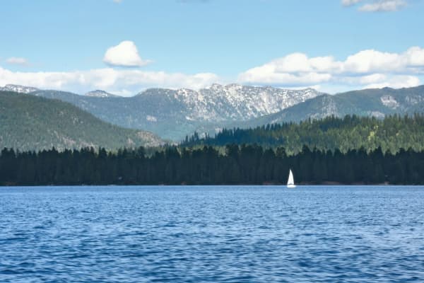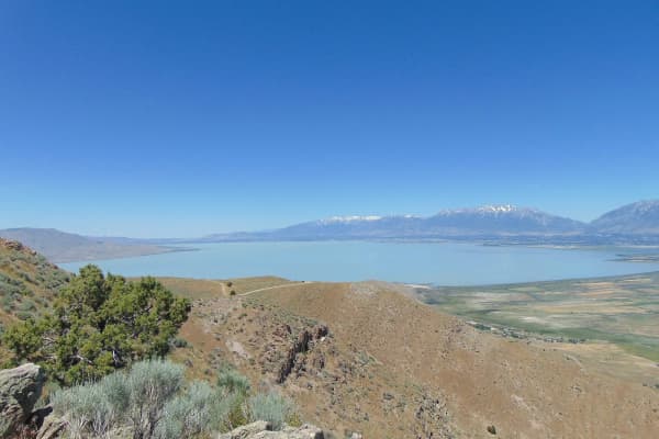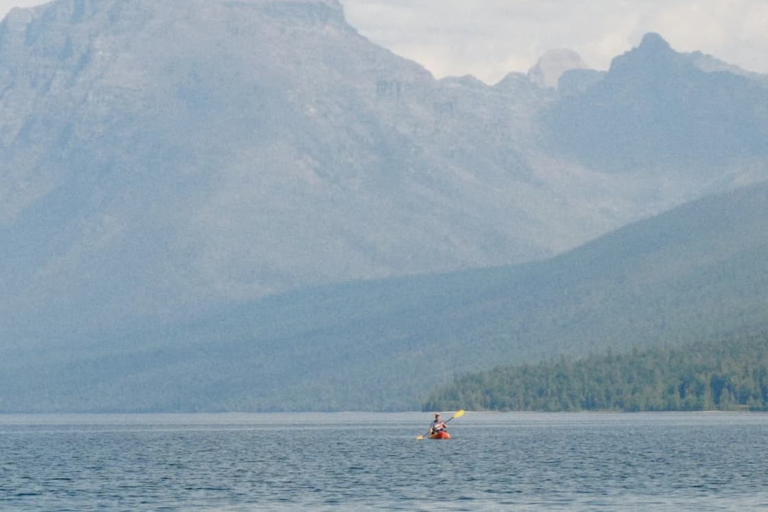

The best paddling on Utah Lake is along its edges, early in the day. The middle of the lake is open water the size of a small inland sea, 9 feet deep when full, and a wind that crosses it builds short, steep waves quickly. The shoreline, the marshes of Provo Bay and the restored Provo River Delta are where a kayak or paddleboard belongs, and most of the launches are free.
This page is the route guide: where to put in, how far it is to the next landing, and the one rule that decides whether the day goes well. For rentals and the reservoirs up the canyon, see our kayaking and paddleboarding guide, which also covers Utah's mussel-course requirement for paddlers. For boat ramps, our marina guide.
The wind rule, with numbers
Paddle in the morning. Be back on land, or in sheltered water, by early afternoon.
That is local advice everywhere on this lake, and the weather record backs it. Five summers (June through August, 2021 to 2025) of hourly readings from the Provo airport, which sits on the east shore beside the state park, show:
- About 6 to 11 a.m.: average wind about 5 mph, with roughly 1 reading in 10 at 10 mph or more.
- About noon to 4 p.m.: 6 to 8 mph, with the share of 10 mph readings climbing toward 1 in 4.
- About 5 to 8 p.m.: 9 to 10 mph, with roughly 4 readings in 10 at 10 mph or more.
The stronger summer afternoon winds in that record came mostly from the northwest. On a lake shaped like this one, a northwest wind has miles of open water to build waves before it reaches the south and southeast shores, which is where Provo Bay, Lower Hobble Creek and Sandy Beach sit. A paddler crossing open water off those shores in the afternoon is paddling into the waves that wind has built.
The Utah Lake Authority's safety guide puts it simply: an afternoon thunderstorm or strong wind "can quickly blow in and instantly transform a calm, sunny day into capsize-inducing waves." It recommends the Windy Lookout app, built for Utah Lake, which pushes alerts when dangerous weather approaches.
Route 1: the Provo River Delta and Skipper Bay (beginner)
Launch: the Skipper Bay trailhead, west Provo, about 4 miles and 10 minutes from downtown by an OpenStreetMap routing estimate. The Utah Lake Authority describes it as part of the federally managed Provo River Delta Restoration Project, with ADA and bike-friendly trails, benches, a birding tower, restrooms and boat access for non-motorized craft. Fishing and camping are not allowed at this site. No fee.
What it is: wetlands rebuilt from former farmland so the Provo River can meet the lake the way it once did, for the threatened June sucker. For a paddler that means sheltered, reedy channels and open water close by, with birds everywhere. Our birdwatching guide explains what you are looking at.
Distances: the Skipper Bay trailhead is about 0.9 mile in a straight line from the Utah Lake State Park marina, so a gentle out-and-back between the delta and the park's outer marina is a short first trip.
Current conditions: construction on the Old Provo Channel side of the delta has opened ramps but kept some piers fenced; our news desk tracks it in the Old Provo Channel update.
Route 2: Utah Lake State Park's outer marina (beginner, fee)
Launch: the outer marina beach inside Utah Lake State Park, at the end of West Center Street. Utah State Parks says the outer marina is open to swimming, paddleboarding and kayaking, kept separate from the boat ramps in the inner marina. Entry is $20 per vehicle from April through October and $10 in winter.
Why use it: the easiest parking, restrooms and showers, a concession that rents paddle craft, and calm water inside the breakwaters for a first time on a board. From here, a morning paddle north along the shore to the delta is about a mile.
Route 3: Provo Bay from Mill Race (intermediate)
Launch: the Mill Race access in south Provo, about 4.8 miles and 15 minutes from downtown. The Utah Lake Authority describes a gravel boat ramp for small, shallow-bottomed boats with a channel leading into Provo Bay, dense wetland vegetation, and a life jacket loaner station. Search "Mill Race Boat Ramp." No fee.
What it is: Provo Bay is the shallow, marshy arm of the lake south of the Provo airport, and the Mill Race channel is the paddler's way in. It is the wildest-feeling paddle within 15 minutes of BYU: a narrow channel through dense wetland vegetation that the Utah Lake Authority says supports many kinds of wildlife, reached by a ramp built only for small, shallow-draft boats.
What to know:
- It is a working sportsman's access. The authority lists fishing, waterfowl hunting, limited upland game hunting and birding here. Utah's 2026 general duck season runs October 3 to January 16 in the northern zone, so fall and winter mornings in the bay are hunting mornings. Spring and summer are the paddler's seasons here.
- Depth is the limit. In a low-water year (the lake was about 50 percent of capacity on October 1, 2026) the channel and the bay can be too shallow and muddy to paddle comfortably. Look before you commit.
- Do not cross the open mouth of the bay in an afternoon wind.
Nearby: the Lower Hobble Creek Wildlife Management Area, just south, has a wildlife viewing platform, a life jacket loaner station and social trails down to the lake. The Division of Wildlife Resources bought it to restore the creek for the June sucker; the creek closes to fishing every spring, and any June sucker caught must be released. Parking is a roadside pull-off.
Route 4: the Vineyard shore (beginner to intermediate)
Launches: several small, free street-end accesses on the east shore in Vineyard, all on the Utah Lake Shoreline Trail:
- Vineyard Beach, with covered picnic tables, a wheelchair ramp to the sand, and unpaved parking across the road. No restrooms.
- Vineyard Center Street, where a small gravel lot holds about eight cars and canoes and kayaks can be carried to the water. The authority notes a paved multi-use trail runs 1.75 miles from the south end of Lindon Marina to this area.
- Vineyard 170 South, a paved lot for five or six cars with a half-mile trail; carry boats to the water.
At each street end, the authority notes, the path from the road to the water "fluctuates based on the time of year," which in a dry fall means a longer carry.
Distances: Vineyard Beach is about 0.7 mile in a straight line from Lindon Marina, which makes a calm-morning shoreline paddle between them easy. Going farther north, Lindon Marina to the American Fork Boat Harbor is about 2.1 miles.
Note for 2026: the state put Lindon Marina Beach under a danger advisory on September 30. Check the DEQ page before launching anywhere near it.
Route 5: Saratoga Springs, marina to marina (intermediate)
Launches: Saratoga Springs' two city marinas. The city charges nothing for launching paddleboards and kayaks that do not use the boat ramp.
- South Marina Park (Pelican Bay), with restrooms near the launch open year round, a swim beach, and a jetty. Beach restrooms close October 15 to April 15.
- North Marina Park, opened in summer 2026, with a concrete ramp, restrooms and paved parking.
Distances: the two marinas are about 5 miles apart in a straight line along the northwest shore, so a one-way marina-to-marina paddle needs a car shuttle and a calm morning. The northwest shore is also the side of the lake that a northwest afternoon wind blows away from, rather than onto, which is a point in its favor; a building west wind still makes for a hard return.
Route 6: the south shore, Sandy Beach to Lincoln Beach (advanced)
Launches: Sandy Beach near Spanish Fork (hand-carried boats only, no trailers, free) and Lincoln Beach, Utah County's marina at the tip of West Mountain. Our Sandy Beach guide and Lincoln Beach guide cover each site.
Distance: about 3.5 miles in a straight line. This is the most exposed shoreline on the list for a northwest wind, and the farthest from help. Paddle it only on a calm morning, with a partner, and land early.
Longer crossings, and why to skip them
Utah Lake State Park to Lindon Marina is about 6.4 miles in a straight line; the state park to the Saratoga Springs South Marina, across the lake, about 8 miles. They are doable on paper and a bad idea as casual trips. Two friends died on the lake in 2020, and the Utah Lake Authority's Paddle With Care day every May, a 2.6-mile supervised paddle back to a marina in their memory, is built around search-and-rescue boats on the route for a reason.
Life jackets, algae and the water itself
Life jackets. The Utah Lake Authority's safety guide says Utah law requires a U.S. Coast Guard-approved life jacket for each person aboard, and that children 12 and under must wear one at all times. On a paddleboard, wear it; coming off is part of the activity. The authority runs nine free life jacket loaner stations around the lake, including at Mill Race, Lower Hobble Creek and The Knolls, and Lindon Marina.
Algae. Paddling is contact recreation. Utah's warning advisories say avoid water contact and keep dogs out. In 2026 the whole lake went under a warning on July 30, and site warnings were still posted at most marinas in late September. Check the DEQ Utah Lake page for your launch; our algal bloom explainer covers the levels.
Tell someone. The authority recommends never paddling alone, sharing your plan, and sharing your phone's location with someone onshore.
A first morning on the lake
- Check the DEQ advisory page and the wind forecast.
- Launch at Skipper Bay by 8 a.m.
- Paddle the delta channels, then out along the shore toward the state park and back.
- Off the water by 11, before the wind fills in.
- Walk to the birding tower on the way out.
For the bigger reservoirs with calmer mornings and colder water, our reservoir guide compares Deer Creek, Jordanelle and the rest.
Frequently Asked Questions
Where is the best place to kayak on Utah Lake near Provo?
Can you kayak in Provo Bay?
When is Utah Lake calm enough to paddleboard?
Is it free to launch a kayak on Utah Lake?
Do I need a life jacket to paddleboard on Utah Lake?
Is it safe to kayak on Utah Lake during an algae advisory?
How far is it to paddle from Utah Lake State Park to Lindon Marina?
What is Paddle With Care?
Sources
The facts in this guide were checked against these sources. Hours, fees and rules change, so confirm anything time-sensitive with the source before you go. How we make Provo.com.
- Utah Lake Public Access Points (story map, updated Sept. 3, 2026), Utah Lake Authority. Checked October 19, 2026.
- How to Enjoy Utah Lake Safely, Utah Lake Authority. Checked October 19, 2026.
- Life Jacket Loaner Program, Utah Lake Authority. Checked October 19, 2026.
- Paddle With Care, Utah Lake Authority. Checked October 19, 2026.
- Things to Do at Utah Lake, Utah Lake Authority. Checked October 19, 2026.
- Utah Lake State Park: Boating and Decontamination, Utah State Parks. Checked October 19, 2026.
- Utah Lake State Park: Park Fees, Utah State Parks. Checked October 19, 2026.
- South Marina Park, City of Saratoga Springs. Checked October 19, 2026.
- Public Marinas, City of Saratoga Springs. Checked October 19, 2026.
- Utah Lake harmful algal bloom updates, Utah Department of Environmental Quality. Checked October 19, 2026.
- Utah Water Supply Outlook Report, October 1, 2026, USDA NRCS. Checked October 19, 2026.
- Daily news: All of Utah Lake is under a harmful algal bloom advisory, Utah Public Radio. Checked October 19, 2026.
- Utah waterfowl season opens with dry conditions, lower bird numbers, TownLift (DWR release). Checked October 19, 2026.
- Provo Municipal Airport (PVU) hourly observations, 2021-2025, Iowa Environmental Mesonet, Iowa State University. Checked October 19, 2026.
- Google Places listings (addresses, hours, coordinates), Google Places. Checked October 19, 2026.
- OSRM routing (OpenStreetMap data), Project OSRM. Checked October 19, 2026.