
Escalante is about 235 miles and five hours from downtown Provo, by an OpenStreetMap routing estimate (OSRM, no traffic) to the Escalante Interagency Visitor Center at 755 W Main St. The route runs I-15 south, US-50 east, State Route 24 through Torrey, and Scenic Byway 12 over Boulder Mountain. That is too far for a day trip. It is a very good three-day weekend.
Day hikes need no permit. Overnight trips in the Glen Canyon side of the Escalante, including Coyote Gulch, need a backcountry permit from the visitor center or a trailhead, according to the National Park Service. The thing that can hurt you is water, not paperwork, and the flash flood section below is the most important part of this page.
The monument changed this summer
The BLM's Grand Staircase-Escalante page says that on July 13, 2026, a presidential proclamation modified the monument's boundaries. The monument now covers about 181,541 acres, down from about 1.87 million, in two units:
- the Canyons of the Escalante Unit (about 172,641 acres), which the proclamation describes as including Calf Creek Canyon, the Escalante Natural Bridge and the Boulder Mail Trail, and
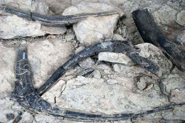
- the Kaiparowits Horizon Unit (about 8,900 acres), around a recently found fossil bone bed.
The proclamation calls the excluded acreage public lands and says that, 60 days after it was signed, they open to the public land, mineral leasing and mining laws, subject to valid existing rights. For a hiker, the practical point is that those lands are still federal public land. The trailheads, roads and rules you deal with on a weekend trip still run through the same Escalante Interagency Visitor Center, which houses the BLM monument staff, the Dixie National Forest and the Glen Canyon Escalante subdistrict, according to the Park Service. Because maps, apps and older guides still show the old boundary, ask at the desk if it matters to your plans.
The four hikes most people come for
| Hike | Distance (AllTrails or BLM) | Difficulty | Getting there |
|---|---|---|---|
| Willis Creek | 2.7 mi out and back | Easy | Gravel road; ask at the visitor center |
| Lower Calf Creek Falls | 6 mi round trip (BLM) | Moderate, sandy | Paved, Hwy 12 |
| Zebra Slot | 5.2 mi out and back | Moderate | Hole-in-the-Rock Road |
| Peekaboo and Spooky | 6.5 mi loop | Hard | Hole-in-the-Rock Road, mile 26 |
Lower Calf Creek Falls. The BLM calls it "a good introductory hike to the Escalante Canyons": a developed trail beside Calf Creek to a 126-foot waterfall, 6 miles round trip, moderately difficult because of sandy sections. The trailhead is in the Calf Creek campground on Highway 12, 15 miles east of Escalante. $5 per vehicle day-use fee; interagency pass holders are free. The BLM requires you to carry out solid human waste on the trail with a sealed waste bag (sold at the visitor center), and asks you to pack out everything, including orange peels. Restrooms are at the trailhead. The campground is open year-round, has no group site and does not fit oversized vehicles.
Willis Creek. AllTrails lists the short version at 2.7 miles out and back with about 180 feet of climbing, rated easy, and dog-friendly on leash. It is the slot to pick for young kids or a first slot canyon.
Zebra Slot. AllTrails lists 5.2 miles out and back, about 340 feet of climbing, rated moderate, off Hole-in-the-Rock Road. The striped walls are the reason to go.
Peekaboo and Spooky. AllTrails rates this 6.5-mile loop hard, with about 660 feet of gain, and spells out why:
- A roughly 15-foot slickrock scramble with marginal holds just to enter Peekaboo, then more scrambling.
- In Spooky, a 10-foot downclimb over overhanging boulders with few footholds, and a canyon so narrow that most adults slide sideways, dragging their packs.
- Go up Peekaboo first, then down Spooky. Reversing it is harder and jams the canyon for everyone else.
- No shade, no water. AllTrails suggests 4 liters per person in summer.
- Peekaboo holds pools after storms that you cannot avoid.
- The trailhead is 26 miles down Hole-in-the-Rock Road, rough and washboarded. Most of the time two-wheel-drive cars make it, rattling; four-wheel drive is recommended.
- Do not build or add to cairns, and pack out any rope you bring.
Coyote Gulch: the overnight
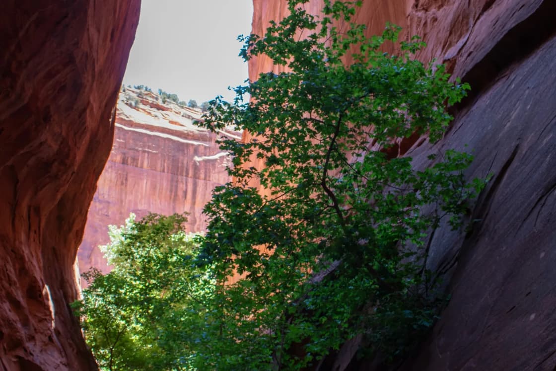
The Park Service calls Coyote Gulch "the most popular backpacking destination of all the canyons of the Escalante": two arches, a natural bridge, waterfalls and a perennial stream. Your feet will get wet; much of the hike is in the creek.
Rules (NPS):
- Backcountry permit required for any overnight stay. Day hikers sign the register instead.
- Group size limit of 12. Larger groups must split and stay half a mile apart, hiking and camping. The Park Service says permits will be denied and violators cited.
- Carry out all human waste in a portable toilet or an engineered waste bag (brands like Restop or WAG bags). Plain plastic bags are not allowed.
- No pets, including pack animals.
- No cairn building, no amplified music.
Trailheads (NPS):
| Trailhead | Off Hole-in-the-Rock Road | Distance in |
|---|---|---|
| Red Well | Mile 30, then 1.5 mi | 13 mi to the Escalante River |
| Hurricane Wash | Mile 33 | 12.3 mi to the Escalante River |
| Fortymile Ridge, Water Tank | Mile 35, then 4 mi | 2 mi to Coyote Gulch |
| Fortymile Ridge, Crack in the Wall | Mile 35, then 7 mi (deep sand) | 2.5 mi to Coyote Gulch |
About the Water Tank route. The Park Service says the final descent is 600 feet of exposed friction climbing, that it does not maintain a rope there despite what websites say, and that if anyone in your group cannot do it without a safety line, you should choose another route.
Crowds: the Park Service says to expect other visitors, especially in spring and fall. If solitude is the goal, pick a different canyon.
Flash floods: how to decide
The Park Service puts it plainly: "Even if the skies above you are clear, a storm miles away can trigger a flash flood in your area." AllTrails notes that once you are in Peekaboo or Spooky, there are no escape routes or high ground.
How to check, every time:
- The night before and the morning of, open the National Weather Service Salt Lake City Flash Flood Information page (weather.gov/slc/flashflood). It has point forecasts for Escalante, Peekaboo, Coyote Gulch, Cannonville and other canyon-country spots.
- Stop at the visitor center (or call 435-826-5499) for road and canyon conditions.
- Look upstream, not overhead. The storm that matters may be over the plateau above you.
- If thunderstorms are in the forecast, do a slot another day. Hike Calf Creek, which follows a creek but is not a slot, or drive Highway 12 instead.
- Wet roads are their own hazard. Hole-in-the-Rock Road and the other dirt roads change with weather, and a car stuck 26 miles out is a serious problem. Carry extra water, food and warm layers in the car, as AllTrails suggests.
Late October in Escalante
- Cooler days, cold nights. Late fall is comfortable hiking weather in the canyons, but the drive crosses Boulder Mountain on Highway 12, and the high country gets early snow. Check UDOT before you leave, and read our winter driving guide if your tires are marginal.
- Short days. Start hikes early so you are out of slots and off dirt roads before dark.
- Visitor center hours. Google's listing shows Tuesday to Saturday, 9 a.m. to 4 p.m., closed Sunday and Monday. Plan any permit pickup for Tuesday through Saturday.
- Crowds thin out compared with spring and early fall.
The weekend, laid out
Day 1 (Friday): leave Provo by 1 p.m. Drive I-15, US-50 and SR-24 to Torrey; in late October you will cross Boulder Mountain on Highway 12 after dark, so if the scenery matters, leave in the morning instead. Sleep in Torrey, Boulder or Escalante.
Day 2 (Saturday): visitor center at 9 for conditions and any permits. Drive Hole-in-the-Rock Road to Peekaboo and Spooky (fit groups) or Zebra (moderate). Back in town by late afternoon.
Day 3 (Sunday): Lower Calf Creek Falls in the morning, then home. To vary the drive, return via Bryce and US-89; our Bryce Canyon guide covers that side. The SR-24 route home passes Capitol Reef, and our Capitol Reef page describes Highway 12's first 30 miles from Torrey as worth the detour on their own.
With kids: swap Peekaboo for Willis Creek and add Calf Creek. The Goblin Valley guide covers the closer, easier slot canyons of the San Rafael Swell if Escalante is too far for your family's first trip.
Overnight in the backcountry: pick up your Coyote Gulch permit Saturday morning, hike in from Hurricane Wash or Red Well, and come out Sunday. Bring waste bags; the Park Service is serious about it.
Our spring break guide and camping near Provo guide cover more of southern Utah for student groups.
Frequently Asked Questions
How far is Escalante from Provo?
Do you need a permit to hike the Escalante slot canyons?
How hard are Peekaboo and Spooky?
Where is the Peekaboo and Spooky trailhead?
Is Grand Staircase-Escalante still a national monument?
How much does Lower Calf Creek Falls cost?
How do I check flash flood danger before a slot canyon?
Can I bring my dog?
Sources
The facts in this guide were checked against these sources. Hours, fees and rules change, so confirm anything time-sensitive with the source before you go. How we make Provo.com.
- Grand Staircase-Escalante National Monument, Bureau of Land Management. Checked October 20, 2026.
- Proclamation: Modifying the Grand Staircase-Escalante National Monument (public inspection, 2026-14549), Federal Register. Checked October 20, 2026.
- National Park Service, Glen Canyon NRA: Coyote Gulch, National Park Service, Glen Canyon NRA. Checked October 20, 2026.
- Permits and reservations, National Park Service, Glen Canyon NRA. Checked October 20, 2026.
- Lower Calf Creek Falls Trail, Bureau of Land Management, Utah. Checked October 20, 2026.
- Calf Creek Recreation Area Day Use Site, Bureau of Land Management, Utah. Checked October 20, 2026.
- Flash Flood Information, National Weather Service, Salt Lake City. Checked October 20, 2026.
- Peekaboo and Spooky Slot Canyons via Lower Dry Fork Narrows Trailhead, AllTrails. Checked October 20, 2026.
- Zebra Canyon via Zebra Slot Trail, AllTrails. Checked October 20, 2026.
- Willis Creek Short Trail, AllTrails. Checked October 20, 2026.
- OSRM route service (OpenStreetMap data), driving estimates from Center St & University Ave, Provo, Project OSRM. Checked October 20, 2026.
- Google Places listings (coordinates, addresses, hours), Google. Checked October 20, 2026.