
Everyone in Provo looks at this mountain every day, and most people who have hiked to the Y believe they have been up it. They have not. The Y sits on the front shoulder of the range. Provo Peak is the summit behind it, well over 11,000 feet, and getting there is a different proposition entirely.
The interesting thing about this hike — and the thing most trip reports bury — is that the difficulty is front-loaded into the drive, not the walk.
What you are actually looking at
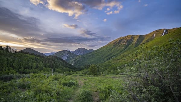
From the valley floor, the wall of mountain east of Provo reads as a single feature. It is not.
- The Y is a whitewashed letter on the lower slope directly above BYU, reached by a short, steep, extremely well-used trail. It is the most-hiked thing in Utah County and a genuinely good workout, but it is a front-country hike on the mountain's face.
- Provo Peak is the high point set back behind and above that face. From the Y you are looking up at considerably more mountain than you just climbed.
This matters practically, because a great deal of casual advice about "hiking the mountain above Provo" is advice about the Y, and it does not transfer.
For the Y and the lower canyon system, our Rock Canyon guide covers the front-country routes.
The road is the crux
Here is the honest framing that will save you a wasted morning.
Access to the standard route runs up a rough unpaved mountain road to a high saddle. From that saddle, the hike is short. Without that saddle, the hike is a very long day.
Three things about the road decide your trip:
Seasonal status. The road is not a year-round proposition. High Wasatch access roads open when conditions allow and close when they do not, and the window is narrower than the summer. A perfectly clear day in the valley tells you nothing about whether the road is passable.
Surface condition. This is a rough dirt mountain road, not a graded scenic drive. Its condition varies with recent weather, with grading, and with how much traffic it has taken. A low-clearance passenger car is a poor match for it. People do drive small cars up mountain roads in Utah and people also damage small cars on mountain roads in Utah.
Current closures. Access orders and corridor closures in the Wasatch change, sometimes with little notice, for fire, for storm damage, or for administrative reasons.
The rule: check the Forest Service's current status for your specific access route, close to your date. Do not check only the weather forecast. A hiker who checks the forecast and not the road is the standard failure mode on this mountain.
The climb itself
Once you are at the saddle, the character of the hike is easy to describe and hard to do.
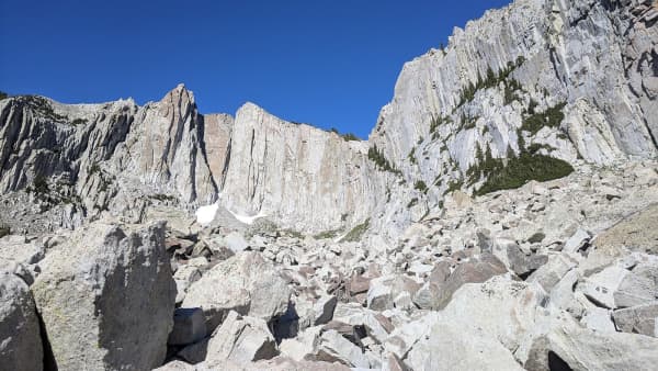
It goes straight up. The route gains substantial elevation over a short horizontal distance, with little of the switchbacking that makes a long climb tolerable. Footing is loose in places. There is not much shade.
Fit hikers who have done a lot of Wasatch mileage tend to describe it as one of the steepest sustained climbs in the area for its length. It is not technical. It is simply relentless.
The descent deserves its own warning. Steep loose ground is where ankles and knees get hurt, and coming down this is harder on your joints than going up is on your lungs. Trekking poles earn their weight here more than on almost any other hike in the county.
Altitude is a real factor here
Provo Peak clears 11,000 feet, and the trailhead itself starts high. You are not acclimatizing on the way up — you are beginning the climb already at elevation that affects performance.
Who has trouble:
- Visitors who flew in within the last day or two. This is by far the highest-risk group, and Provo's proximity to a major airport means people attempt high peaks on day two of a trip regularly.
- Anyone who has been at sea level for months, including former locals home for a visit.
- People who have hiked the Y comfortably and assume the fitness transfers. At 11,000 feet it does not transfer cleanly.
Symptoms that mean turn around: headache, nausea, breathlessness out of proportion to the effort, confusion. The correct response is descent, and descent works quickly. A summit is not worth the alternative, and the mountain will be there in September.
Season and timing
Best window: mid-to-late summer through early fall.
Utah's high country holds snow far later than visitors expect. An upper slope that is a straightforward walk in August can be a snow climb requiring different equipment in June, and the access road may not be open at all.
Early fall is often the sweet spot — the road is open, the summer heat has broken, and the air is at its clearest for the view, which is the entire payoff.
Afternoon thunderstorms are the serious seasonal hazard. They build fast over these peaks in late summer, and an exposed high ridge is one of the worst places in Utah to be caught in one. The standard Wasatch discipline applies: start early, and plan to be off the summit by early afternoon. If the clouds are building, go down. This is not a conservative preference, it is the accepted practice for a reason.
The view, which is the reason
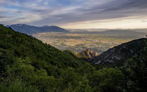
From the summit you get the thing the Y cannot give you: the full valley laid out, Utah Lake in one direction, the Wasatch running north and south, and the peaks of the Timpanogos massif in view.
Standing there is also the clearest way to understand Provo's geography — how narrowly the city is pinned between the lake and the mountain wall, how the canyons cut through, and why the valley developed the way it did along that strip.
What to bring
- More water than the distance implies. Mileage is a bad predictor here; grade and altitude do the work.
- Sun protection. The upper route is exposed with essentially no shade.
- Real footwear with grip. The descent is the injury risk.
- A wind layer. Summit conditions at this elevation are a different climate from the trailhead, even in August.
- Trekking poles, if your knees have opinions.
- A turnaround time, set before you start and honored regardless of how close the summit looks.
Permits, fees and rules
Recreation fee and permit arrangements on Wasatch access corridors vary by canyon and change over time — some corridors carry fees, others do not, and the arrangements have been revised more than once.
Rather than tell you a number that may be wrong by the time you read this, the durable advice is: check the Forest Service page for the specific road you plan to drive, shortly before you go. The same page will carry any active closure order, which is the more important information anyway.
Who this hike is for
A good fit if — you have real hiking fitness, you have spent time at altitude recently, you have a vehicle that can handle a rough mountain road, and you want the highest viewpoint over Provo without a technical objective.
Choose something else if — you are newly arrived at elevation, you are driving a low-clearance car, you want a family outing, or you need a hike that works reliably on a fixed date regardless of conditions. For that last case, the front-country trails deliver views on a schedule that a high peak cannot. Stewart Falls and the Rock Canyon routes both hold up.
For the wider outdoors picture — camping, canyon access and the seasonal rhythm of the mountains here — see our guide to dispersed camping around Provo.
How to train for it if you are not ready
The honest assessment for most people considering this hike is that they are fit enough for the distance and not fit enough for the grade. Those are different capacities.
The specific demand is sustained steep ascent at altitude. Flat mileage does not build it. Neither does a gym stair machine at 4,500 feet, though it helps more than flat running does.
A sensible progression using local terrain:
- The Y trail as the baseline. Short, steep, and the standard local fitness test. If the Y leaves you genuinely wrecked, Provo Peak is a later-season goal.
- Rock Canyon for sustained climbing with more distance under you.
- A longer Wasatch objective with real elevation gain — something in the several-thousand-foot range — before attempting a peak above 11,000.
Train the descent too. This is the part almost everyone skips, and it is the part that produces injuries. Controlled downhill on steep loose ground uses muscles that uphill training does not build, and sore quads on day one of a trip are an inconvenience while a rolled ankle at 11,000 feet is a rescue.
Weather changes the mountain, not just the day
Conditions at the summit are not the conditions at the trailhead, and the gap is larger here than the vertical distance suggests.
Wind is the usual surprise. An exposed high ridge in the Wasatch can carry wind that makes a pleasant 70-degree valley day feel genuinely cold at the top. A wind layer weighs nothing and is the most-regretted omission on high Utah peaks.
Temperature drops meaningfully with elevation, and the summit can be twenty or more degrees cooler than the parking area before wind is accounted for.
Visibility matters for more than the view. In late summer, regional wildfire smoke can reduce visibility to nothing, which removes the entire reason for the climb. Checking air quality alongside the forecast is worth doing in August and September.
Lightning is the one that kills people. Afternoon convective storms build fast over the Wasatch in mid and late summer, and a high exposed ridge is the worst available place to be. The mitigation is scheduling, not equipment: start at first light, summit in the morning, be descending by early afternoon. If you see building cumulus, go down immediately — not after the summit.
Navigation and route-finding
This is not a manicured trail with signage at every junction. The upper route on peaks like this tends toward faint, braided and occasionally ambiguous, and the terrain rewards paying attention on the way up so you recognize it on the way down.
Practical measures:
- Download offline maps before you leave the valley. Cell service is unreliable in the canyons and unreliable on the mountain.
- Note the saddle and your vehicle on the map before you start walking.
- Look behind you periodically on the ascent. The descent is a different-looking landscape and this is the cheapest insurance available.
- Tell someone your plan and your turnaround time, particularly if you are going alone. On a route with limited traffic, an unreported overdue hiker is the difference between a bad night and a serious outcome.
Wildlife, water and other practicalities
There is no water on the route. Whatever you carry is what you have, and the combination of grade, exposure and altitude makes people drink more than they plan for. Carrying more than feels necessary is correct.
Wildlife on the Wasatch front includes deer, moose and, less commonly encountered, mountain lions and black bears. Moose are the realistic concern — they are large, they are common in the canyons, and they are dangerous when surprised or when a cow has a calf. Give them a very wide berth and never place yourself between a cow and a calf.
Leave no trace applies with force at altitude, where thin soils and short growing seasons make recovery slow. Pack out everything, stay on the established line where one exists, and do not build cairns.
Alternatives if the road is closed
Because the access road is the most common trip-killer, it is worth having a plan B chosen before you drive up and find out.
If you arrive and cannot get to the saddle, the realistic options in the same area:
- Turn the day into a lower-elevation objective. The canyon trails below hold their season far longer and are accessible from paved roads.
- Take the long approach, only if you are equipped for it, have started early, and have told someone. Turning a short steep climb into a long serious day on the spot is a decision that has gone badly for people.
- Go north to the Timpanogos corridor, which has its own access constraints but fails at different times than this one does.
The better plan is to check the day before, decide then, and drive to whichever objective is actually open.
What the summit gives you that the Y does not
Worth stating plainly for anyone weighing the effort, because the honest comparison is not obvious from the valley.
From the Y you see Provo and the lake, framed by the mountain you are standing on. It is a genuinely good view and it is why the trail is the most-walked path in the county.
From the summit you see the whole system — the lake in full, the valley's cities running into one another north and south, the Wasatch crest continuing in both directions, and the back side of the range that is invisible from anywhere in town. You also see how thin the strip of habitable land actually is, pinned between water and rock.
That is the payoff, and whether it justifies the grade and the road is a personal calculation. For people who like understanding a place geographically, it is the single most clarifying two hours available in Utah County.
The short version
- Provo Peak is not the Y. The Y is on the front shoulder; the peak is the summit behind it, above 11,000 feet.
- The access road decides the trip. Rough dirt, seasonal, and unfriendly to low-clearance cars.
- From the saddle the climb is short and extremely steep, with loose footing and a punishing descent.
- Altitude is a genuine factor, especially for anyone recently arrived from lower elevation.
- Go mid-summer through early fall, start early, and be off the summit before afternoon storms build.
- Check the Forest Service road status, not just the weather.
Provo Peak is not Wilderness, and that is why there is a road
Look across Provo Canyon from the summit and you are looking at a mountain governed by an entirely different body of law from the one you are standing on. The distinction is not scenic. It decides what may exist on each.
Mount Timpanogos, across the canyon, is designated Wilderness. It was brought into the National Wilderness Preservation System by the Utah Wilderness Act of 1984, Public Law 98-428, signed on 28 September 1984 — the same Act that designated Mount Nebo at the south end of the valley and abolished the older, weaker Mount Timpanogos Scenic Area classification.
Provo Peak is not, and neither is the ground the access road crosses. That single fact explains the crux described above. Under 16 U.S.C. § 1133, inside a designated Wilderness there shall be — subject to existing private rights and to the minimum necessary for administering the area — no commercial enterprise, no permanent road, no temporary road, no use of motor vehicles, motorized equipment or motorboats, no landing of aircraft, no other form of mechanical transport, and no structure or installation.
A rough high-clearance road climbing to a saddle at nine thousand feet is a permanent road with motor vehicles on it. It could not lawfully exist inside a wilderness boundary, and the reason you can drive most of the elevation on this mountain and none of it on the one opposite is that Congress drew the line where it did.
Why the road can run right to the edge
There is a second provision of the 1984 Act that answers the obvious follow-up. Section 303 provides that designating wilderness areas in Utah shall not lead to the creation of protective perimeters or buffer zones around them, and that the fact nonwilderness activities or uses can be seen or heard from inside a wilderness area does not, by itself, preclude those activities up to the boundary.
Congress said so expressly because the alternative — an implied buffer — would have quietly converted a great deal of adjacent multiple-use forest into de facto wilderness. The practical consequence for you is that a wilderness boundary can sit immediately beside a road, a trailhead or an active timber or grazing operation, and nothing about the designation obliges anyone to move back from it.
What this means for how you plan the day
Three things follow, and all of them are the opposite of what applies on Timp.
Mechanized travel is a question of the road and the season, not of law. Whether you get up Squaw Peak Road depends on the surface, the snow line and your vehicle, and on any active Forest Service closure order. It does not depend on a designation.
Bicycles are not categorically banned here. Inside National Forest Wilderness they are, under 36 C.F.R. 261.18. Outside it, bike access is governed by whatever the forest has designated for the specific route, which is a local decision rather than a federal prohibition.
Nothing has been kept deliberately primitive for its own sake. On a wilderness peak the absence of infrastructure is policy. Here it is simply the absence of anyone having built it, which is a weaker guarantee and a less reliable one — a road that exists because it was built can also be closed, washed out, or left unmaintained.
Confirm the current status of the road with the Uinta-Wasatch-Cache National Forest shortly before you go. The same page carries any active closure order, which is the more consequential information either way.
Related Guides
- Kyhv Peak (Formerly Squaw Peak): The Complete Guide (2026)
- Y Mountain Trail: The Complete Hiking Guide (2026)
- Lesser-Known Hikes Near Provo: Six Trails Past the Famous Five (2026)
- Battle Creek Falls: The Complete Hike Guide (2026)
- Bonneville Shoreline Trail: The Provo & Orem Guide (2026)
- Hiking Mount Timpanogos: The Complete Summit Guide
- The Complete Provo Hiking Guide (2026)
- Utah Valley Hike Finder — filter every trail by difficulty, length, season, dogs and fees
Frequently Asked Questions
Is Provo Peak the same as Y Mountain?
How hard is the Provo Peak hike?
How do you get to the Provo Peak trailhead?
When is the best time to hike Provo Peak?
Is altitude a real concern on Provo Peak?
Do I need a permit or a fee to hike Provo Peak?
Can you hike Provo Peak from Rock Canyon instead?
What should I bring for Provo Peak?