
If you drive from Spanish Fork toward Price on U.S. 6, about ten miles up the canyon the road climbs onto a long bench cut into the north wall and swings through a wide, graded junction where U.S. 89 splits off toward Manti. Most drivers do not notice that the highway is not where a highway should be. Roads follow rivers, along canyon floors; this one is a hundred feet up the side of the mountain, and it is up there because the canyon floor below it belongs to a landslide.
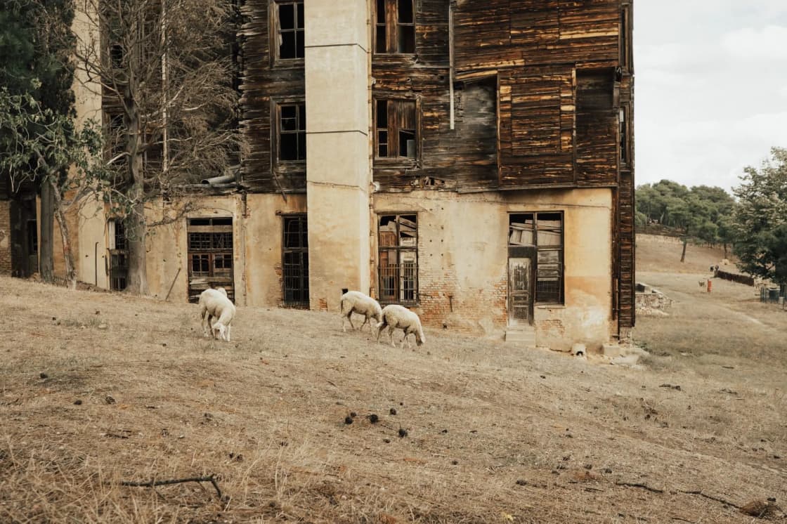
Below the junction, in the bottom of the canyon, there is a place that was a town. A few buildings still stand in the sediment, roofs sagging, windows out, half-buried in the silt of a lake that is no longer there. A railroad runs through it. A river has cut a new channel through what used to be Main Street. That is Thistle, Utah, population zero since April 1983, and it is the most expensive landslide in the history of the United States, the first to be declared a federal disaster, and the strangest thing that has ever happened to a town in Utah County.
This is the story: what Thistle was, what the winter of 1983 did to the hillside above it, the two weeks the slide moved and the weeks the water rose, the tunnel the railroad bored and the road the state built to get around it, the money, the people, why the ground is still moving, and how to see it today from the pullout on U.S. 89.
The Town That Was There
Thistle sat at a junction of canyons about ten miles east of Spanish Fork, where Thistle Creek comes down from the south to meet the Spanish Fork River, and where, from the 1870s on, two railroads met. The Denver & Rio Grande Western's main line came down Spanish Fork Canyon from Soldier Summit on its way from Denver to Salt Lake City; a branch toward Marysvale and the Sanpete Valley split off at Thistle up the creek. That junction was the town's whole reason to exist. Thistle had a depot, a roundhouse, a water tank, and the railroad's helper engines that pushed freight trains up the grade to Soldier Summit; it had a school, a store, a post office, a church, a saloon or two in its early days, and — at its peak around the First World War — several hundred people, most of them railroad families and the ranchers who ran cattle on the surrounding hills.
The town's name came from the thistles that grew in the creek bottom. Its fortunes followed the railroad's. When the D&RGW switched from steam to diesel in the 1950s, the helper engines and the crews that ran them were no longer needed; the roundhouse closed, the depot closed, the school consolidated, and the population fell to a few dozen. By 1983 Thistle was a handful of houses, a few ranch families, a small store, and the junction — a place people drove through on the way to Price or Sanpete, with a name on a sign and a railroad crossing.
It sat, as it turned out, at the toe of an ancient landslide.
The Winter of 1983
The water year of 1982-83 was the wettest in Utah's recorded history. Snow fell on the Wasatch through the fall and winter without the usual dry spells; by spring the snowpack in the mountains above Utah Valley was double the normal depth, and a cold, wet March held it in place. Then April turned warm fast, and rain fell on top of the snow, and everything came down the mountains at once. Salt Lake City sandbagged State Street into a river that May; Utah Lake rose to a level it has not reached since; Spanish Fork Canyon ran full.
The hillside on the south side of the canyon, just west of Thistle, was made of the wrong material for that spring. It was a mass of clay-rich shale and mudstone — the rock geologists call the North Horn and Ankareh formations, which weather into slippery clays — that had already slid, slowly, many times over thousands of years. State geologists had mapped it as an old landslide well before 1983. It had been creeping at a rate that cracked the highway and tilted fence posts and that nobody regarded as urgent. When the record runoff saturated it that April, the creep became a collapse.
The Two Weeks
The slide announced itself in the second week of April 1983. Highway crews noticed the pavement on U.S. 6 buckling and cracking west of Thistle, and the railroad's track began to heave; on April 13 and 14 the movement accelerated, the highway was closed, and the D&RGW stopped running trains through the canyon. Over the following days the whole hillside moved — a mass roughly a mile long and hundreds of feet thick, sliding downhill at rates that reached several feet an hour at its fastest — and pushed across the canyon floor.
It crossed the highway. It crossed the railroad. It reached the north wall of the canyon and pushed the river against it. And then it stopped moving fast, and the river, with nowhere to go, began to rise.
What happened next took weeks, not hours, which is why no one died. The slide had built an earthen dam across Spanish Fork Canyon, and the Spanish Fork River in a record spring was filling the canyon behind it. The state and the railroad tried to keep the water down — pumps, a channel, an attempt to cut a spillway across the slide — and could not; the material was too unstable to work and the river too big. The residents of Thistle were evacuated as the water came up the streets. Over the following weeks the lake rose to a depth of roughly 160 feet against the dam and stretched several miles up the two canyons, covering the town, the junction, the railroad yard, the highways, and the ranch land along the creek.
The Wasatch Front watched it on the evening news. Utah County had a lake where a town had been, a dam nobody had built holding it back, and a serious fear that the dam would fail and send a wall of water down Spanish Fork Canyon into Spanish Fork and the valley. The state's engineers concluded that the slide's dam would hold, but only because there was no way to lower the water quickly, and the spring of 1983 was spent watching it.
The Tunnels and the Road
The response, once the slide had stopped, was to go around and to go through.
The railroad went through first, because the D&RGW's main line between Denver and Salt Lake was severed and the company was losing money by the day, rerouting trains hundreds of miles around Utah on other railroads' tracks. The D&RGW bored a tunnel — about 3,000 feet long — through the north wall of the canyon on a new alignment above the slide and the lake, laid new track, and had trains running again by July 1983, roughly three months after the slide. It was one of the fastest major railroad relocations in American history, and the tunnel is still the main line; the Union Pacific, which absorbed the D&RGW, runs its coal and freight through it today.
The state went around. UDOT abandoned the canyon-floor alignment of U.S. 6 and U.S. 89 through Thistle and built a new road on a bench cut high into the north wall of the canyon, above the slide and the lake, with the two highways' junction rebuilt as the graded, sweeping interchange drivers use now. It opened by the end of 1983, and it is why the highway is a hundred feet up the mountain. The old road is under the sediment.
The lake was drained by a third tunnel: a drainage bore driven through the toe of the slide, which let the river through and lowered the lake over the following months. By 1984 the water was mostly gone, and what it left behind was the townsite, buried in lake silt to the eaves of the houses that were still standing, with the river cutting a new channel through the middle of it.
The Money and the Declaration
The losses were enormous for a place with a few dozen residents. Estimates at the time put the total at roughly $200 million in 1983 dollars, with the railroad's costs — the tunnel, the lost traffic, the detours — the largest single share, and the highway relocation, the lost ranch land, the damaged water and power lines, and the state's emergency work making up the rest. In today's dollars it is well over half a billion, and it remains the most expensive landslide in U.S. history.
Governor Scott Matheson asked Washington for help, and in April 1983 President Reagan declared Spanish Fork Canyon a federal disaster area — the first time in the country's history that a landslide, as opposed to a flood or a storm or an earthquake, had received a presidential disaster declaration. Federal disaster money helped pay for the highway.
The people of Thistle did less well. The residents and the ranch families whose land was under the lake were compensated through a mix of federal programs, state payments, and settlements with the railroad, and a number of them argued for years that the payments did not cover what they had lost — homes that could not be replaced for the price paid, grazing land that was gone, a community that no longer existed. Some moved to Spanish Fork and Salem; some left the county. Nobody moved back. The state bought most of the townsite and the slide, and the railroad owns the rest.
Why It Still Moves
The Thistle slide did not go away when the lake did. It is an ancient landslide that was reactivated by a record spring, and the material that makes up the hillside is the same material it was in 1983: saturated clay that moves when it gets wet enough. The Utah Geological Survey and UDOT have instrumented it since, and it has moved measurably in wet years; the drainage tunnel is maintained so that a renewed slide could not dam the river to the 1983 depth again, and the highway and the railroad were built where they were built to stay out of its path.
The broader lesson of Thistle is the one the state has been relearning along the whole Wasatch Front ever since. The canyon walls of the range are full of old landslides — the same clay-rich formations, the same slow creep, the same vulnerability to a wet year — and a record spring wakes them up. Layton in 1998, North Salt Lake in 2014, the subdivisions built on old slides in Draper and along the benches from Provo to Bountiful: each was a smaller version of the Thistle mechanism, and each drew on the hazard maps that Thistle made the state take seriously. If you have ever wondered why a Utah County city's hillside development ordinance is as long as it is, the answer is at the bottom of Spanish Fork Canyon.
Seeing It Today
The viewing point is a signed pullout on U.S. 89 a short distance south of its junction with U.S. 6 — turn toward Manti at the interchange and watch for it on the right. It has an interpretive sign, room for a few cars, and a view down into the canyon of the townsite and the slide: the long, hummocky mass of the slide on the south wall, still bare in places; the lake sediments filling the canyon floor; the river's new channel; the railroad main line running through the middle; and, depending on the year and the light, the roofs and walls of two or three buildings still standing in the silt, gray and sagging, with their windows out. There is also a good view from the U.S. 6 side, on the bench above the junction, though there is no formal pullout and the shoulder is narrow.
The townsite itself is not a place to walk. The land is private and railroad property, the ground is unstable lake sediment and slide debris, the river channel is unmarked, and the Union Pacific main line through the middle of it carries heavy trains at speed with no warning in a canyon that echoes. People are ticketed for trespassing and people have been hurt. The pullout is the view; the buildings are the photograph; the story is in this article and on the sign. Our haunted places guide covers the folklore that has grown up around the site — it is the county's real ghost town, and the stories are what you would expect — and our shooting ranges guide notes, for people who search the name, that the Thistle range up the canyon is a separate thing and not the townsite.
The drive is the other reason to go. U.S. 6 through Spanish Fork Canyon to Soldier Summit and Price is one of the great canyon roads in Utah — and one of its most dangerous, which is a different article — and U.S. 89 south from the junction runs down Thistle Creek past the old Marysvale branch grade into the Sanpete Valley. Our day trips guide covers both directions, and the Spanish Fork restaurant guide is where the trip starts and ends.
The Place in Utah County's History
Thistle belongs to a small set of events that explain the shape of the county. The Geneva Steel story explains the west side of Orem and the lake's north shore; the history of Provo explains the grid; the Tintic mining district explains the empty west desert edge of the county; and Thistle explains the highway on the mountainside, the railroad tunnel, the hazard maps, and the sense every Utah County engineer has that a record-wet spring is a threat, not a blessing. It also explains, for anyone who has driven U.S. 6 a hundred times and never looked down, the buildings in the silt.
They are still there. Every year a little more of them goes — a roof, a wall, a section of the old grade — and one day the pullout will look down on a canyon floor with nothing in it but a river and a railroad and a sign. Go before then.
The Short Version
April 1983, after the wettest winter on record: an ancient landslide above Thistle, a railroad-junction town of a few dozen people at the meeting of U.S. 6 and U.S. 89 in Spanish Fork Canyon, reactivated, crossed the canyon, and dammed the river. The lake that formed drowned the town to a depth of about 160 feet. Nobody died; nobody moved back. The railroad bored a 3,000-foot tunnel and reopened in three months; the state built a new highway on the north wall; a drain tunnel emptied the lake. About $200 million in 1983 dollars, the costliest landslide in U.S. history and the first with a federal disaster declaration. The slide still moves and is monitored. See it from the signed pullout on U.S. 89 just south of the junction; do not walk in.
Related Guides
- Haunted Places in Utah Valley
- Eureka and the Tintic Ghost Towns
- Geneva Steel: The Rise and Fall of Utah County's Mill
- A History of Provo
- Day Trips from Provo
- Best Restaurants in Spanish Fork
- Nebo Loop Scenic Byway
- Utah Lake's History
- Spanish Fork Canyon: Diamond Fork, Sheep Creek and the Thistle Site
- Nine Mile Canyon, Helper and Price From Provo
Frequently Asked Questions
What happened at Thistle, Utah?
Where exactly was Thistle?
Why did the landslide happen?
How was the highway and railroad rebuilt?
How much did it cost?
Can you visit Thistle today?
Are there other drowned or abandoned towns in Utah County?
Could it happen again?